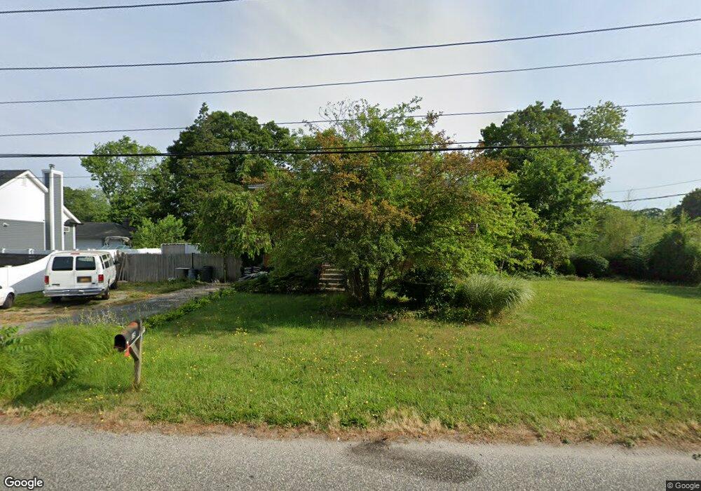
15 Boonar St Mastic, NY 11950
Estimated Value: $394,905 - $703,000
4
Beds
2
Baths
2,948
Sq Ft
$185/Sq Ft
Est. Value
About This Home
This home is located at 15 Boonar St, Mastic, NY 11950 and is currently estimated at $545,476, approximately $185 per square foot. 15 Boonar St is a home located in Suffolk County with nearby schools including Moriches Elementary School, William Floyd Middle School, and William Floyd High School.
Ownership History
Date
Name
Owned For
Owner Type
Purchase Details
Closed on
Feb 29, 2008
Current Estimated Value
Purchase Details
Closed on
Sep 13, 2002
Sold by
Kagan Audrey C
Bought by
Gentile Dominic C
Home Financials for this Owner
Home Financials are based on the most recent Mortgage that was taken out on this home.
Original Mortgage
$152,000
Interest Rate
6.25%
Mortgage Type
Purchase Money Mortgage
Purchase Details
Closed on
Dec 4, 1998
Sold by
Rivera Benito and Kagan Audrey C
Bought by
Kagan Audrey C
Create a Home Valuation Report for This Property
The Home Valuation Report is an in-depth analysis detailing your home's value as well as a comparison with similar homes in the area
Home Values in the Area
Average Home Value in this Area
Purchase History
| Date | Buyer | Sale Price | Title Company |
|---|---|---|---|
| -- | -- | -- | |
| Gentile Dominic C | $160,000 | Stewart Title | |
| Kagan Audrey C | -- | Fidelity National Title Ins |
Source: Public Records
Mortgage History
| Date | Status | Borrower | Loan Amount |
|---|---|---|---|
| Previous Owner | Gentile Dominic C | $152,000 |
Source: Public Records
Tax History
| Year | Tax Paid | Tax Assessment Tax Assessment Total Assessment is a certain percentage of the fair market value that is determined by local assessors to be the total taxable value of land and additions on the property. | Land | Improvement |
|---|---|---|---|---|
| 2024 | $8,831 | $2,150 | $240 | $1,910 |
| 2023 | $8,831 | $2,150 | $240 | $1,910 |
| 2022 | $9,789 | $2,150 | $240 | $1,910 |
| 2021 | $9,789 | $2,150 | $240 | $1,910 |
| 2020 | $9,995 | $2,150 | $240 | $1,910 |
| 2019 | $9,995 | $0 | $0 | $0 |
| 2018 | $9,617 | $2,150 | $240 | $1,910 |
| 2017 | $9,617 | $2,150 | $240 | $1,910 |
| 2016 | $9,616 | $2,150 | $240 | $1,910 |
| 2015 | -- | $2,150 | $240 | $1,910 |
| 2014 | -- | $2,150 | $240 | $1,910 |
Source: Public Records
Map
Nearby Homes
- 25 Gores Dr
- VL Lambert Ave
- NC Malta Place
- 45O Oakland Ave
- 1287 Montauk Hwy
- 17 Nelson Place
- 1397 Montauk Hwy
- 30 George Dr
- 1467 Montauk Hwy
- 8 Paul Dr
- N/C First Place
- 3 Lee Place
- 19 Hawthorne St
- 8 George Dr
- 38 Midland Ave
- 0 Bedford Ave Unit KEYL3488158
- 9 Dreamland St
- 64 Vernon Ave
- 0 Carlton Ave Unit KEY853013
- 66 Wood Ave
Your Personal Tour Guide
Ask me questions while you tour the home.