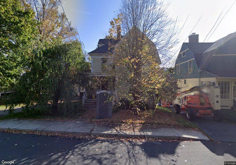
15 Brainard Ave Great Barrington, MA 01230
Estimated Value: $853,303 - $1,077,000
3
Beds
3
Baths
2,425
Sq Ft
$410/Sq Ft
Est. Value
About This Home
This home is located at 15 Brainard Ave, Great Barrington, MA 01230 and is currently estimated at $993,326, approximately $409 per square foot. 15 Brainard Ave is a home located in Berkshire County with nearby schools including Muddy Brook Regional Elementary School, W.E.B Du Bois Regional Middle School, and Monument Mountain Regional High School.
Ownership History
Date
Name
Owned For
Owner Type
Purchase Details
Closed on
Jan 28, 2005
Sold by
Roth Michael A
Bought by
Mcnamara Michael F and Mcnamara Ronna E
Current Estimated Value
Home Financials for this Owner
Home Financials are based on the most recent Mortgage that was taken out on this home.
Original Mortgage
$200,000
Outstanding Balance
$101,121
Interest Rate
5.67%
Mortgage Type
Purchase Money Mortgage
Estimated Equity
$892,205
Purchase Details
Closed on
Jan 22, 2004
Sold by
15 Brainard Ave T
Bought by
Roth Michael A
Home Financials for this Owner
Home Financials are based on the most recent Mortgage that was taken out on this home.
Original Mortgage
$211,500
Interest Rate
5.89%
Mortgage Type
Purchase Money Mortgage
Create a Home Valuation Report for This Property
The Home Valuation Report is an in-depth analysis detailing your home's value as well as a comparison with similar homes in the area
Home Values in the Area
Average Home Value in this Area
Purchase History
| Date | Buyer | Sale Price | Title Company |
|---|---|---|---|
| Mcnamara Michael F | $620,000 | -- | |
| Roth Michael A | $235,000 | -- |
Source: Public Records
Mortgage History
| Date | Status | Borrower | Loan Amount |
|---|---|---|---|
| Open | Mcnamara Michael F | $200,000 | |
| Previous Owner | Roth Michael A | $211,500 |
Source: Public Records
Tax History Compared to Growth
Tax History
| Year | Tax Paid | Tax Assessment Tax Assessment Total Assessment is a certain percentage of the fair market value that is determined by local assessors to be the total taxable value of land and additions on the property. | Land | Improvement |
|---|---|---|---|---|
| 2025 | $10,995 | $797,300 | $167,500 | $629,800 |
| 2024 | $10,172 | $732,300 | $154,800 | $577,500 |
| 2023 | $9,507 | $660,400 | $154,800 | $505,600 |
| 2022 | $9,507 | $639,800 | $140,700 | $499,100 |
| 2019 | $9,396 | $597,700 | $127,200 | $470,500 |
| 2018 | $8,814 | $588,400 | $127,200 | $461,200 |
| 2017 | $8,591 | $588,400 | $127,200 | $461,200 |
| 2016 | $7,944 | $555,900 | $57,600 | $498,300 |
| 2015 | $7,627 | $555,900 | $57,600 | $498,300 |
Source: Public Records
Map
Nearby Homes
- 80 Taconic Ave Unit 3
- 32 Benton Ave
- 56 Taconic Ave
- 11 Prospect St
- 2 Lake Ave
- 14 Copper Beech Ln Unit C-1
- 14 Copper Beech Ln
- 12 Barrington Place
- 36 Castle Ln
- 81 Castle Hill Ave
- 406 Main St
- 281 Main St Unit 2
- 94 West Ave
- 3 Pleasant View Dr
- 497 S Main St
- 518 Main St
- 53 Mahaiwe St
- 6 Manville St
- 228 East St
- 148 Maple Ave Unit 12