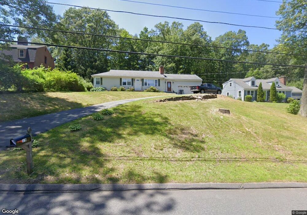
15 Brainard Rd Wilbraham, MA 01095
Estimated Value: $336,000 - $362,000
3
Beds
1
Bath
1,040
Sq Ft
$334/Sq Ft
Est. Value
About This Home
This home is located at 15 Brainard Rd, Wilbraham, MA 01095 and is currently estimated at $347,146, approximately $333 per square foot. 15 Brainard Rd is a home located in Hampden County with nearby schools including Minnechaug Regional High School and St. John the Baptist School.
Ownership History
Date
Name
Owned For
Owner Type
Purchase Details
Closed on
Dec 3, 2012
Sold by
Camerlin Timothy J and Camerlin Pamela J
Bought by
Camerlin Timothy J
Current Estimated Value
Purchase Details
Closed on
Feb 13, 2004
Sold by
Mcquillan Brian and Mcquillan Robert E
Bought by
Camerlin Pamela J and Camerlin Timothy J
Home Financials for this Owner
Home Financials are based on the most recent Mortgage that was taken out on this home.
Original Mortgage
$177,317
Interest Rate
5.82%
Mortgage Type
VA
Create a Home Valuation Report for This Property
The Home Valuation Report is an in-depth analysis detailing your home's value as well as a comparison with similar homes in the area
Home Values in the Area
Average Home Value in this Area
Purchase History
| Date | Buyer | Sale Price | Title Company |
|---|---|---|---|
| Camerlin Timothy J | -- | -- | |
| Camerlin Pamela J | $173,500 | -- |
Source: Public Records
Mortgage History
| Date | Status | Borrower | Loan Amount |
|---|---|---|---|
| Previous Owner | Camerlin Pamela J | $177,317 |
Source: Public Records
Tax History Compared to Growth
Tax History
| Year | Tax Paid | Tax Assessment Tax Assessment Total Assessment is a certain percentage of the fair market value that is determined by local assessors to be the total taxable value of land and additions on the property. | Land | Improvement |
|---|---|---|---|---|
| 2025 | $5,099 | $285,200 | $83,000 | $202,200 |
| 2024 | $4,817 | $260,400 | $83,000 | $177,400 |
| 2023 | $4,489 | $248,000 | $83,000 | $165,000 |
| 2022 | $4,489 | $219,100 | $83,000 | $136,100 |
| 2021 | $4,284 | $186,600 | $88,300 | $98,300 |
| 2020 | $4,176 | $186,600 | $88,300 | $98,300 |
| 2019 | $4,070 | $186,700 | $88,300 | $98,400 |
| 2018 | $3,883 | $171,500 | $88,300 | $83,200 |
| 2017 | $3,773 | $171,500 | $88,300 | $83,200 |
| 2016 | $3,797 | $175,800 | $98,300 | $77,500 |
| 2015 | $3,671 | $175,800 | $98,300 | $77,500 |
Source: Public Records
Map
Nearby Homes
- 116 Cherry Dr Unit 116
- 19 Linwood Dr
- 2205 Boston Rd Unit I 82
- 24 Lodge Ln Unit 24
- 10 Forest Glade Dr
- 8 Glenn Dr
- 11 Hickory Hill Dr
- 6 Teak Terrace Unit 24
- 57 Sandalwood Dr Unit site 61
- 111 Sandalwood Dr Unit site 00
- 46 Washington Rd
- 99 Sandalwood Dr Unit site 00
- 103 Sandalwood Dr Unit site 00
- 26 Sandalwood Dr
- 344 Stony Hill Rd
- 415 Winsor St
- 37 Franklin St
- 15 Sandalwood Dr Unit site 00
- 24 Dumaine St
- 6V Melikian Dr
- 17 Brainard Rd
- 11 Brainard Rd
- 14 Brainard Rd
- 9 Brainard Rd
- 10 Brainard Rd
- 12 Brainard Rd
- 21 Brainard Rd
- 7 Brainard Rd
- 16 Brainard Rd
- 44 Ivy Cir
- 42 Ivy Cir
- 40 Ivy Cir
- 38 Ivy Cir
- 42 Ivy Cir Unit 42
- 40 Ivy Cir Unit None
- 40 Ivy Cir Unit 40
- 20 Brainard Rd
- 23 Brainard Rd
- 5 Brainard Rd
- 5 Brainard Rd Unit na