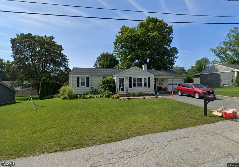
15 Brandywine Rd West Boylston, MA 01583
Estimated Value: $467,000 - $531,000
3
Beds
2
Baths
1,368
Sq Ft
$373/Sq Ft
Est. Value
About This Home
This home is located at 15 Brandywine Rd, West Boylston, MA 01583 and is currently estimated at $510,306, approximately $373 per square foot. 15 Brandywine Rd is a home located in Worcester County with nearby schools including Major Edwards Elementary School, West Boylston Junior/Senior High School, and Abby Kelley Foster Charter Public School.
Ownership History
Date
Name
Owned For
Owner Type
Purchase Details
Closed on
Mar 1, 1995
Sold by
Lonstein Kennth B
Bought by
Gariepy Jeffrey and Bellis Tammy
Current Estimated Value
Create a Home Valuation Report for This Property
The Home Valuation Report is an in-depth analysis detailing your home's value as well as a comparison with similar homes in the area
Home Values in the Area
Average Home Value in this Area
Purchase History
| Date | Buyer | Sale Price | Title Company |
|---|---|---|---|
| Gariepy Jeffrey | $121,000 | -- |
Source: Public Records
Mortgage History
| Date | Status | Borrower | Loan Amount |
|---|---|---|---|
| Open | Gariepy Jeffrey | $235,000 | |
| Closed | Gariepy Jeffrey | $153,500 | |
| Closed | Gariepy Jeffrey | $40,000 |
Source: Public Records
Tax History Compared to Growth
Tax History
| Year | Tax Paid | Tax Assessment Tax Assessment Total Assessment is a certain percentage of the fair market value that is determined by local assessors to be the total taxable value of land and additions on the property. | Land | Improvement |
|---|---|---|---|---|
| 2025 | $65 | $471,200 | $93,700 | $377,500 |
| 2024 | $6,381 | $431,700 | $93,700 | $338,000 |
| 2023 | $6,087 | $390,700 | $93,100 | $297,600 |
| 2022 | $5,707 | $322,800 | $93,100 | $229,700 |
| 2021 | $5,532 | $299,700 | $89,200 | $210,500 |
| 2020 | $5,418 | $291,600 | $89,200 | $202,400 |
| 2019 | $5,069 | $268,900 | $89,200 | $179,700 |
| 2018 | $4,835 | $258,300 | $89,200 | $169,100 |
| 2017 | $4,285 | $227,900 | $89,200 | $138,700 |
| 2016 | $4,214 | $228,400 | $83,000 | $145,400 |
| 2015 | $4,093 | $223,200 | $82,200 | $141,000 |
Source: Public Records
Map
Nearby Homes
- 9 Kings Mountain Dr
- 16 Jasmine Dr Unit 16
- 1 Highland Ave
- 32 Whispering Pine Cir Unit 32
- 12 Birchbrush Ln
- 41 Whispering Pine Cir Unit 41
- 14 Maple St
- 152 Worcester St Unit 8
- 20 Hawthorne Dr
- 20 Jersey Dr
- 39 Bowen St
- 363 Prospect St
- 39 Meola Ave
- 55 Meola Ave
- 1110 W Boylston St Unit A
- 55 Angell Brook Dr
- 1097 W Boylston St
- 156 Prospect St
- 83 Hillside Village Dr
- 7 Angell Brook Dr
- 19 Brandywine Rd
- 11 Brandywine Rd
- 10 Trenton Ln
- 14 Brandywine Rd
- 18 Brandywine Rd
- 12 Brandywine Rd
- 7 Brandywine Rd
- 23 Brandywine Rd
- 22 Brandywine Rd
- 10 Brandywine Rd
- 51 Bunkerhill Pkwy
- 23 Bunkerhill Pkwy
- 27 Bunkerhill Pkwy
- 17 Trenton Ln
- 13 Trenton Ln
- 18 Lexington Dr
- 3 Brandywine Rd
- 19 Bunkerhill Pkwy
- 31 Bunkerhill Pkwy
- 8 Lexington Dr