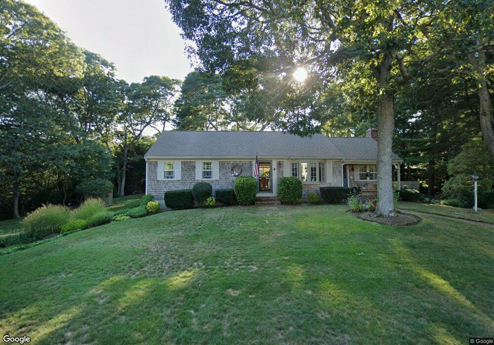
15 Bray Farm Rd N Yarmouth Port, MA 02675
Yarmouth Port NeighborhoodEstimated Value: $590,000 - $697,000
2
Beds
1
Bath
1,201
Sq Ft
$542/Sq Ft
Est. Value
About This Home
This home is located at 15 Bray Farm Rd N, Yarmouth Port, MA 02675 and is currently estimated at $650,559, approximately $541 per square foot. 15 Bray Farm Rd N is a home located in Barnstable County with nearby schools including Dennis-Yarmouth Regional High School.
Ownership History
Date
Name
Owned For
Owner Type
Purchase Details
Closed on
Oct 11, 2001
Sold by
Borger Edwin L and Borger Jane T
Bought by
Brostoff Stuart S and Brostoff Susan W
Current Estimated Value
Home Financials for this Owner
Home Financials are based on the most recent Mortgage that was taken out on this home.
Original Mortgage
$175,000
Interest Rate
6.93%
Mortgage Type
Purchase Money Mortgage
Purchase Details
Closed on
Jul 22, 1994
Sold by
Blumer Linda A
Bought by
Borger Edwin L and Borger Jane T
Create a Home Valuation Report for This Property
The Home Valuation Report is an in-depth analysis detailing your home's value as well as a comparison with similar homes in the area
Home Values in the Area
Average Home Value in this Area
Purchase History
| Date | Buyer | Sale Price | Title Company |
|---|---|---|---|
| Brostoff Stuart S | $232,900 | -- | |
| Borger Edwin L | $115,000 | -- |
Source: Public Records
Mortgage History
| Date | Status | Borrower | Loan Amount |
|---|---|---|---|
| Open | Borger Edwin L | $183,000 | |
| Closed | Borger Edwin L | $191,424 | |
| Closed | Borger Edwin L | $225,000 | |
| Closed | Borger Edwin L | $175,000 |
Source: Public Records
Tax History Compared to Growth
Tax History
| Year | Tax Paid | Tax Assessment Tax Assessment Total Assessment is a certain percentage of the fair market value that is determined by local assessors to be the total taxable value of land and additions on the property. | Land | Improvement |
|---|---|---|---|---|
| 2025 | $4,293 | $606,400 | $170,000 | $436,400 |
| 2024 | $4,049 | $548,700 | $147,900 | $400,800 |
| 2023 | $3,980 | $490,800 | $134,400 | $356,400 |
| 2022 | $3,779 | $411,700 | $128,200 | $283,500 |
| 2021 | $3,522 | $368,400 | $128,200 | $240,200 |
| 2020 | $3,498 | $349,800 | $135,700 | $214,100 |
| 2019 | $3,218 | $318,600 | $135,700 | $182,900 |
| 2018 | $3,046 | $296,000 | $113,100 | $182,900 |
| 2017 | $2,966 | $296,000 | $113,100 | $182,900 |
| 2016 | $2,863 | $286,900 | $104,000 | $182,900 |
| 2015 | $2,681 | $267,000 | $99,500 | $167,500 |
Source: Public Records
Map
Nearby Homes
- 51 Bray Farm Rd N
- 59 Main St Unit 19-2
- 59 Route 6a Unit 29-4
- 268 Main St
- 42 John Hall Cartway Unit 42
- 6 Nimble Hill Dr
- 50 John Hall Cartway
- 50 John Hall Cartway Unit 50
- 64 Kates Path
- 228 Kates Path
- 34 Kates Path
- 34 Kates Path Unit 34
- 44 Stratford Ln
- 17 Kates Path Unit A
- 43 Canterbury Rd
- 13 Covey Dr
- 6 Thomas Ct
- 15 Signal Hill Dr
- 7 Forest Gate Unit 7
- 30 W Woods
- 21 Bray Farm Rd N
- 9 Bray Farm Rd N
- 20 Hillcrest Rd
- 12 Hillcrest Rd
- 16 Bray Farm Rd N
- 26 Hillcrest Rd
- 4 Hillcrest Rd
- 29 Bray Farm Rd N
- 1 Bray Farm Rd N
- 10 Embassy St
- 10 Embassy Ln
- 24 Bray Farm Rd N
- 20 Longfellow Dr
- 25 Hillcrest Rd
- 37 Bray Farm Rd N
- 24 Embassy Ln
- 24 Embassy St
- 42 Longfellow Dr
- 32 Bray Farm Rd N
- 32 Hillcrest Rd