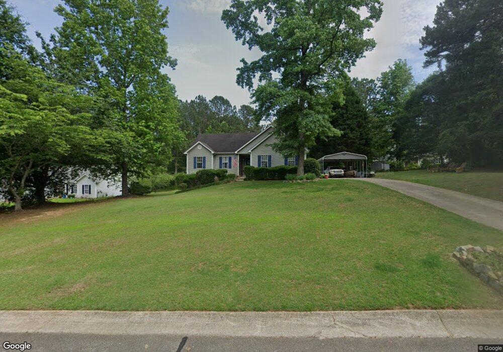
15 Bretts Point Sharpsburg, GA 30277
Estimated Value: $365,000 - $436,000
4
Beds
2
Baths
1,606
Sq Ft
$247/Sq Ft
Est. Value
About This Home
This home is located at 15 Bretts Point, Sharpsburg, GA 30277 and is currently estimated at $396,298, approximately $246 per square foot. 15 Bretts Point is a home located in Coweta County with nearby schools including Poplar Road Elementary School, Lee Middle School, and East Coweta High School.
Ownership History
Date
Name
Owned For
Owner Type
Purchase Details
Closed on
Dec 1, 2016
Sold by
Charlotte E
Bought by
Pannell Charlotte Elaine and Pannell Daryn Lanier
Current Estimated Value
Purchase Details
Closed on
Sep 28, 2001
Sold by
Lindemeyer Brian C
Bought by
Ellenburg Roger D and Ellenburg Charlotte E
Home Financials for this Owner
Home Financials are based on the most recent Mortgage that was taken out on this home.
Original Mortgage
$148,000
Interest Rate
6.89%
Mortgage Type
FHA
Purchase Details
Closed on
Dec 29, 1998
Bought by
Developme Glen Grove
Purchase Details
Closed on
Nov 15, 1994
Bought by
R C Development Inc
Purchase Details
Closed on
May 31, 1985
Bought by
Hill William F
Create a Home Valuation Report for This Property
The Home Valuation Report is an in-depth analysis detailing your home's value as well as a comparison with similar homes in the area
Home Values in the Area
Average Home Value in this Area
Purchase History
| Date | Buyer | Sale Price | Title Company |
|---|---|---|---|
| Pannell Charlotte Elaine | -- | -- | |
| Ellenburg Roger D | $150,400 | -- | |
| Developme Glen Grove | $19,000 | -- | |
| R C Development Inc | $390,000 | -- | |
| Hill William F | -- | -- |
Source: Public Records
Mortgage History
| Date | Status | Borrower | Loan Amount |
|---|---|---|---|
| Previous Owner | Ellenburg Roger D | $148,000 |
Source: Public Records
Tax History Compared to Growth
Tax History
| Year | Tax Paid | Tax Assessment Tax Assessment Total Assessment is a certain percentage of the fair market value that is determined by local assessors to be the total taxable value of land and additions on the property. | Land | Improvement |
|---|---|---|---|---|
| 2025 | $3,316 | $146,366 | $24,000 | $122,366 |
| 2024 | $3,214 | $143,040 | $24,000 | $119,040 |
| 2023 | $3,214 | $130,089 | $20,000 | $110,089 |
| 2022 | $2,937 | $123,946 | $20,000 | $103,946 |
| 2021 | $2,309 | $92,368 | $16,000 | $76,368 |
| 2020 | $2,323 | $92,368 | $16,000 | $76,368 |
| 2019 | $1,841 | $67,714 | $10,000 | $57,714 |
| 2018 | $1,845 | $67,714 | $10,000 | $57,714 |
| 2017 | $1,845 | $67,714 | $10,000 | $57,714 |
| 2016 | $1,825 | $67,714 | $10,000 | $57,714 |
| 2015 | $1,588 | $60,386 | $10,000 | $50,386 |
| 2014 | $1,392 | $56,096 | $8,000 | $48,096 |
Source: Public Records
Map
Nearby Homes
- 140 Halo Trace
- 180 Saint James Place
- 250 Bob Smith Rd
- 196 Bob Smith Rd
- 25 Chemin Place
- 0 Bob Smith Rd Unit 10562838
- 25 Lentry Dr
- 138 Main St
- 1 Mcintosh Trail
- 0 Highway 154 Unit 10470800
- 8 Chiefs Trail
- 296 Mcintosh Trail
- 21 Lake Park Ct
- 28 Fawn Ct
- 50 Kay Ct
- 40 Long Branch Trail
- Briarwood Plan at Twelve Parks 55+
- Sullivan Plan at Twelve Parks 55+
- 4 Unicoi Trail
- 12 Unicoi Trail
- 25 Bretts Point
- 10 Bretts Point
- 35 Bretts Point
- 95 Halo Trace
- 100 Halo Trace
- 40 Bretts Point
- 65 Halo Trace
- 50 Bretts Point
- 10 Bretts Bend
- 115 Halo Trace
- 55 Halo Trace
- 125 Halo Trace Unit C9
- 125 Halo Trace
- 30 Bretts Bend Unit 118
- 30 Bretts Bend
- 50 Halo Trace
- 40 Bretts Bend
- 45 Halo Trace
- 130 Halo Trace
- 135 Halo Trace