Estimated Value: $225,000 - $292,000
--
Bed
2
Baths
1,764
Sq Ft
$139/Sq Ft
Est. Value
About This Home
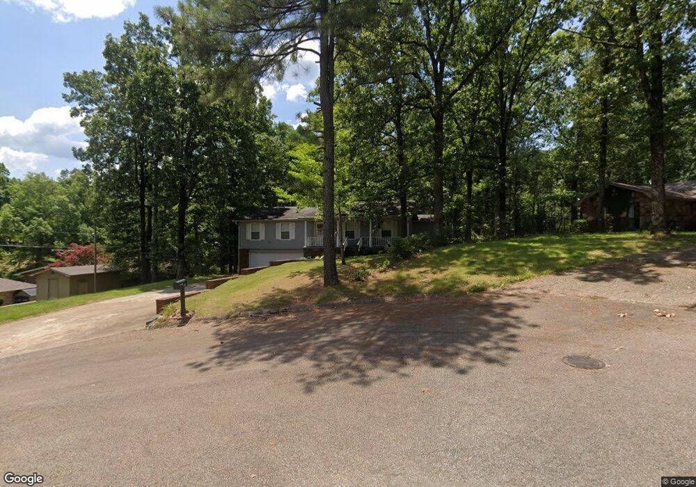
This home is located at 15 Briarcliff Cir, Wynne, AR 72396 and is currently estimated at $244,689, approximately $138 per square foot. 15 Briarcliff Cir is a home located in Cross County with nearby schools including Wynne Intermediate School, Wynne Primary School, and Wynne Junior High School.
Ownership History
Date
Name
Owned For
Owner Type
Purchase Details
Closed on
Jul 8, 2021
Sold by
Esquivel Richard G and Esquivel Kathy D
Bought by
Meek Steven D and Meek Kimberly L
Current Estimated Value
Home Financials for this Owner
Home Financials are based on the most recent Mortgage that was taken out on this home.
Original Mortgage
$181,390
Outstanding Balance
$164,734
Interest Rate
2.96%
Mortgage Type
New Conventional
Estimated Equity
$79,955
Purchase Details
Closed on
Jul 2, 2012
Sold by
Esquivel John K and Esquivel Terry
Bought by
Champion Kathleen
Purchase Details
Closed on
May 24, 2007
Sold by
Dallas Earnest E and Dallas Teresa T
Bought by
Esquivel Richard G and Esquivel Kathy D
Home Financials for this Owner
Home Financials are based on the most recent Mortgage that was taken out on this home.
Original Mortgage
$113,400
Interest Rate
6.16%
Mortgage Type
New Conventional
Purchase Details
Closed on
Mar 3, 1993
Bought by
Dallas Earnest E
Create a Home Valuation Report for This Property
The Home Valuation Report is an in-depth analysis detailing your home's value as well as a comparison with similar homes in the area
Home Values in the Area
Average Home Value in this Area
Purchase History
| Date | Buyer | Sale Price | Title Company |
|---|---|---|---|
| Meek Steven D | $214,000 | Cowling Title | |
| Champion Kathleen | -- | None Available | |
| Esquivel Richard G | $114,000 | None Available | |
| Dallas Earnest E | $75,000 | -- |
Source: Public Records
Mortgage History
| Date | Status | Borrower | Loan Amount |
|---|---|---|---|
| Open | Meek Steven D | $181,390 | |
| Previous Owner | Esquivel Richard G | $113,400 |
Source: Public Records
Tax History Compared to Growth
Tax History
| Year | Tax Paid | Tax Assessment Tax Assessment Total Assessment is a certain percentage of the fair market value that is determined by local assessors to be the total taxable value of land and additions on the property. | Land | Improvement |
|---|---|---|---|---|
| 2024 | $868 | $27,690 | $5,010 | $22,680 |
| 2023 | $946 | $27,690 | $5,010 | $22,680 |
| 2022 | $996 | $27,690 | $5,010 | $22,680 |
| 2021 | $996 | $27,690 | $5,010 | $22,680 |
| 2020 | $825 | $27,690 | $5,010 | $22,680 |
| 2019 | $814 | $24,020 | $4,120 | $19,900 |
| 2018 | $839 | $24,020 | $4,120 | $19,900 |
| 2017 | $1,189 | $24,020 | $4,120 | $19,900 |
| 2016 | $1,189 | $24,020 | $4,120 | $19,900 |
| 2015 | $1,189 | $24,020 | $4,120 | $19,900 |
| 2014 | $1,273 | $25,710 | $5,060 | $20,650 |
Source: Public Records
Map
Nearby Homes
- 1910 Hess Ln
- 29 Sunset Dr
- 1011 Hilltop Dr
- 6 A Londonderry Cir
- 1310 Bridges Ave E
- 1201 Peterson Dr
- 1404 Airpark Rd
- 1003 Oakwood Dr
- 1484 Hamilton Ave E
- 568 Killough Rd N
- 2 Donegal Cir
- 1308 Killough Rd N
- 226 Nathan Dr E
- 206 Maple Dr
- 1737 Peterson Rd
- 1405 Peterson Rd
- 102 Lombardy Ln
- 108 Nathan Dr E
- 1916 Cogbill Rd
- 129 Lombardy Ln
- 14 Briarcliff Cir
- 2211 Morningside Dr
- 2221 Morningside Dr
- 2102 Morningside Dr
- 2100 Morningside Dr
- 2201 Morningside Dr
- 1809 Airpark Rd
- 5 Woodlawn Cir
- 6 Woodlawn Cir
- 2210 Morningside Dr
- 41 Morningside Dr
- 1805 Airpark Rd
- 2103 Morningside Dr
- 2101 Morningside Dr
- 2305 Morningside Dr
- 1801 Airpark Rd
- 2105 Morningside Dr
- 2302 Morningside Dr
- 36 Morningside Dr
- 2206 Morningside Dr