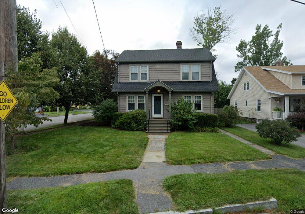
15 Bristol St Worcester, MA 01606
Burncoat NeighborhoodEstimated Value: $424,360 - $452,000
3
Beds
1
Bath
1,344
Sq Ft
$328/Sq Ft
Est. Value
About This Home
This home is located at 15 Bristol St, Worcester, MA 01606 and is currently estimated at $440,590, approximately $327 per square foot. 15 Bristol St is a home located in Worcester County with nearby schools including Belmont Street Community School, Jacob Hiatt Magnet School, and Chandler Magnet.
Create a Home Valuation Report for This Property
The Home Valuation Report is an in-depth analysis detailing your home's value as well as a comparison with similar homes in the area
Home Values in the Area
Average Home Value in this Area
Map
Nearby Homes
- 521 Burncoat St
- 485 Burncoat St
- 29R E Mountain St
- 42 Volkmar Rd
- 780 W Boylston
- 8 Pershing St
- 17 Hunnewell Rd
- 328 Brooks St
- 87 Malden St
- 670 Burncoat St Unit A
- 43 Rowena St
- 6 Idalla Ave
- 100 Saint Nicholas Ave
- 7 Darrow St
- 26 Fales St
- 42 Castine St Unit 1
- 42 Castine St
- 3 Enaya Cir
- 336 Burncoat St
- 23 Cobblestone Ln
- 19 Bristol St
- 17 Bristol St
- 21 Bristol St
- 10 Collins St
- 20 Bristol St
- 16 Bristol St
- 23 Bristol St
- 18 Bristol St
- 12 Collins St
- 14 Bristol St
- 14 Collins St
- 24 Bristol St
- 31 Bristol St
- 0 Bristol St Unit 71574774
- 0 Bristol St Unit 71574763
- 12 Bristol St
- 9 Bristol St
- 24 Doyle St
- 10 Bristol St
- 26 Bristol St
Your Personal Tour Guide
Ask me questions while you tour the home.