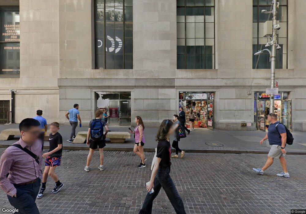
Downtown by Phillippe Starck 15 Broad St Unit 1016 New York, NY 10005
Financial District NeighborhoodEstimated Value: $1,530,074 - $2,180,000
1
Bed
--
Bath
1,743
Sq Ft
$1,040/Sq Ft
Est. Value
About This Home
This home is located at 15 Broad St Unit 1016, New York, NY 10005 and is currently estimated at $1,813,519, approximately $1,040 per square foot. 15 Broad St Unit 1016 is a home located in New York County with nearby schools including P.S. 343 The Peck Slip School, Lower Manhattan Community Middle School, and Clinton School.
Ownership History
Date
Name
Owned For
Owner Type
Purchase Details
Closed on
Mar 18, 2013
Sold by
Rentto Jutta M
Bought by
Zenna Gregory
Current Estimated Value
Purchase Details
Closed on
Apr 18, 2007
Sold by
Hf 15 Broad Street Owners Llc
Bought by
Sunden Jed
Home Financials for this Owner
Home Financials are based on the most recent Mortgage that was taken out on this home.
Original Mortgage
$999,999
Interest Rate
6.23%
Mortgage Type
Purchase Money Mortgage
Create a Home Valuation Report for This Property
The Home Valuation Report is an in-depth analysis detailing your home's value as well as a comparison with similar homes in the area
Home Values in the Area
Average Home Value in this Area
Purchase History
| Date | Buyer | Sale Price | Title Company |
|---|---|---|---|
| Zenna Gregory | $1,675,000 | -- | |
| Zenna Gregory | $1,675,000 | -- | |
| Sunden Jed | $1,400,000 | -- | |
| Sunden Jed | $1,400,000 | -- |
Source: Public Records
Mortgage History
| Date | Status | Borrower | Loan Amount |
|---|---|---|---|
| Previous Owner | Sunden Jed | $999,999 |
Source: Public Records
Tax History Compared to Growth
Tax History
| Year | Tax Paid | Tax Assessment Tax Assessment Total Assessment is a certain percentage of the fair market value that is determined by local assessors to be the total taxable value of land and additions on the property. | Land | Improvement |
|---|---|---|---|---|
| 2025 | $24,684 | $200,381 | $52,781 | $147,600 |
| 2024 | $24,684 | $197,442 | $52,782 | $144,660 |
| 2023 | $24,093 | $196,407 | $52,783 | $143,624 |
| 2022 | $23,691 | $193,635 | $52,784 | $140,851 |
| 2021 | $22,424 | $182,797 | $52,784 | $130,013 |
| 2020 | $19,678 | $204,151 | $52,784 | $151,367 |
| 2019 | $15,533 | $207,873 | $52,784 | $155,089 |
| 2018 | $18,759 | $192,483 | $52,785 | $139,698 |
| 2017 | $16,127 | $188,078 | $52,784 | $135,294 |
| 2016 | $13,495 | $179,285 | $52,785 | $126,500 |
| 2015 | -- | $186,033 | $52,784 | $133,249 |
| 2014 | -- | $175,173 | $52,784 | $122,389 |
Source: Public Records
About Downtown by Phillippe Starck
Map
Nearby Homes
- 15 Broad St Unit 3120
- 15 Broad St Unit 1704
- 15 Broad St Unit 2506
- 15 Broad St Unit 3930
- 15 Broad St Unit 1510
- 15 Broad St Unit 2112
- 15 Broad St Unit 1610
- 15 Broad St Unit 2016
- 15 Broad St Unit 2400
- 25 Broad St Unit 19J
- 25 Broad St Unit 10 K
- 25 Broad St Unit 6I
- 25 Broad St Unit 19 S
- 25 Broad St Unit 14 K
- 25 Broad St Unit 19 M
- 25 Broad St Unit 14-N
- 25 Broad St Unit 19-R
- 25 Broad St Unit 21 E
- 25 Broad St Unit 20-K
- 25 Broad St Unit 6M
- 15 Broad St Unit 12N
- 15 Broad St Unit 9X
- 15 Broad St Unit 12X
- 15 Broad St Unit 11S
- 15 Broad St Unit 17H
- 15 Broad St Unit 17A
- 15 Broad St Unit 35
- 15 Broad St Unit 919
- 15 Broad St Unit 1926
- 15 Broad St Unit 1702
- 15 Broad St Unit 1504
- 15 Broad St Unit 1030
- 15 Broad St Unit 1028
- 15 Broad St Unit 1026
- 15 Broad St Unit 1024
- 15 Broad St Unit 1022
- 15 Broad St Unit 1020
- 15 Broad St Unit 1014
- 15 Broad St Unit 1012
- 15 Broad St Unit 1010
