15 Broadmeadow Rd Wallingford, CT 06492
Estimated Value: $631,000 - $696,000
3
Beds
3
Baths
2,234
Sq Ft
$297/Sq Ft
Est. Value
About This Home
This home is located at 15 Broadmeadow Rd, Wallingford, CT 06492 and is currently estimated at $663,795, approximately $297 per square foot. 15 Broadmeadow Rd is a home located in New Haven County with nearby schools including Moses Y Beach Elementary School, Rock Hill Elementary School, and Dag Hammarskjold Middle School.
Ownership History
Date
Name
Owned For
Owner Type
Purchase Details
Closed on
Aug 29, 2007
Sold by
Pilletere Robert W and Pilletere Brenda R
Bought by
Vendola John M and Boni-Vendola Corrine A
Current Estimated Value
Purchase Details
Closed on
Nov 29, 2005
Sold by
Baker Res Lp
Bought by
Pilletere Robert W and Pilletere Brenda
Create a Home Valuation Report for This Property
The Home Valuation Report is an in-depth analysis detailing your home's value as well as a comparison with similar homes in the area
Home Values in the Area
Average Home Value in this Area
Purchase History
| Date | Buyer | Sale Price | Title Company |
|---|---|---|---|
| Vendola John M | $469,000 | -- | |
| Pilletere Robert W | $411,990 | -- |
Source: Public Records
Mortgage History
| Date | Status | Borrower | Loan Amount |
|---|---|---|---|
| Open | Pilletere Robert W | $355,000 | |
| Closed | Pilletere Robert W | $50,000 | |
| Closed | Pilletere Robert W | $372,000 |
Source: Public Records
Tax History Compared to Growth
Tax History
| Year | Tax Paid | Tax Assessment Tax Assessment Total Assessment is a certain percentage of the fair market value that is determined by local assessors to be the total taxable value of land and additions on the property. | Land | Improvement |
|---|---|---|---|---|
| 2025 | $8,683 | $360,000 | $0 | $360,000 |
| 2024 | $7,729 | $252,100 | $0 | $252,100 |
| 2023 | $7,397 | $252,100 | $0 | $252,100 |
| 2022 | $7,321 | $252,100 | $0 | $252,100 |
| 2021 | $7,190 | $252,100 | $0 | $252,100 |
| 2020 | $8,004 | $274,200 | $0 | $274,200 |
| 2019 | $8,004 | $274,200 | $0 | $274,200 |
| 2018 | $7,853 | $274,200 | $0 | $274,200 |
| 2017 | $7,828 | $274,200 | $0 | $274,200 |
| 2016 | $7,647 | $274,200 | $0 | $274,200 |
| 2015 | $7,694 | $280,100 | $0 | $280,100 |
| 2014 | $7,532 | $280,100 | $0 | $280,100 |
Source: Public Records
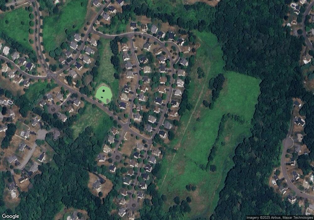
Map
Nearby Homes
- 37 Laurelwood Dr
- 5 Stegos Dr
- 1 Pine Glen Terrace
- 670 Williams Rd
- 28 Morgan Dr
- 400 Williams Rd
- 940 Durham Rd
- 4 Sunset Dr
- 350 Williams Rd
- 1323 Barnes Rd
- 11 Westview Dr
- 7 Grantham Rd
- 16 Marie Ln
- 49 High St
- 29 Curtis Ave
- 43 Academy St
- 96 Rockledge Dr
- 147 Pinehurst Dr
- 530 Center St Unit C1
- 39 Hoffman Ct Unit B3
- 13 Broadmeadow Rd
- 13 Broadmeadow Rd Unit 13
- 17 Broadmeadow Rd
- 26 Broadmeadow Rd
- 24 Broadmeadow Rd
- 24 Broadmeadow Rd Unit 24
- 28 Broadmeadow Rd
- 10 Pondside Dr
- 10 Pondside Dr Unit 21
- 19 Broadmeadow Rd
- 11 Broadmeadow Rd
- 12 Pondside Dr
- 30 Broadmeadow Rd
- 30 Broadmeadow Rd Unit 30
- 30 Broadmeadow Rd Unit 51
- 8 Pondside Dr
- 14 Pondside Dr
- 14 Pondside Dr Unit 14
- 18 Broadmeadow Rd
- 9 Broadmeadow Rd