15 Brookfield Ct Southington, CT 06489
West Southington NeighborhoodEstimated Value: $891,979 - $1,014,000
3
Beds
3
Baths
3,314
Sq Ft
$284/Sq Ft
Est. Value
About This Home
This home is located at 15 Brookfield Ct, Southington, CT 06489 and is currently estimated at $942,745, approximately $284 per square foot. 15 Brookfield Ct is a home with nearby schools including Derynoski Elementary School, John F. Kennedy Middle School, and Southington High School.
Ownership History
Date
Name
Owned For
Owner Type
Purchase Details
Closed on
May 1, 2017
Sold by
Plude Sarah E
Bought by
Plude Christopher D
Current Estimated Value
Purchase Details
Closed on
Oct 16, 2013
Sold by
Dbf Llc
Bought by
Plude Christopher D and Plude Sarah E
Home Financials for this Owner
Home Financials are based on the most recent Mortgage that was taken out on this home.
Original Mortgage
$126,675
Interest Rate
4.58%
Create a Home Valuation Report for This Property
The Home Valuation Report is an in-depth analysis detailing your home's value as well as a comparison with similar homes in the area
Home Values in the Area
Average Home Value in this Area
Purchase History
| Date | Buyer | Sale Price | Title Company |
|---|---|---|---|
| Plude Christopher D | -- | -- | |
| Plude Christopher D | $168,900 | -- |
Source: Public Records
Mortgage History
| Date | Status | Borrower | Loan Amount |
|---|---|---|---|
| Previous Owner | Plude Christopher D | $126,675 |
Source: Public Records
Tax History Compared to Growth
Tax History
| Year | Tax Paid | Tax Assessment Tax Assessment Total Assessment is a certain percentage of the fair market value that is determined by local assessors to be the total taxable value of land and additions on the property. | Land | Improvement |
|---|---|---|---|---|
| 2025 | $13,382 | $402,950 | $113,720 | $289,230 |
| 2024 | $12,669 | $402,950 | $113,720 | $289,230 |
| 2023 | $12,177 | $401,100 | $113,720 | $287,380 |
| 2022 | $11,684 | $401,100 | $113,720 | $287,380 |
| 2021 | $11,644 | $401,100 | $113,720 | $287,380 |
| 2020 | $12,352 | $403,260 | $116,040 | $287,220 |
| 2019 | $12,356 | $403,260 | $116,040 | $287,220 |
| 2018 | $12,291 | $403,260 | $116,040 | $287,220 |
| 2017 | $12,291 | $403,260 | $116,040 | $287,220 |
| 2016 | $11,953 | $403,260 | $116,040 | $287,220 |
| 2015 | $3,220 | $110,510 | $110,510 | $0 |
| 2014 | $3,134 | $110,510 | $110,510 | $0 |
Source: Public Records
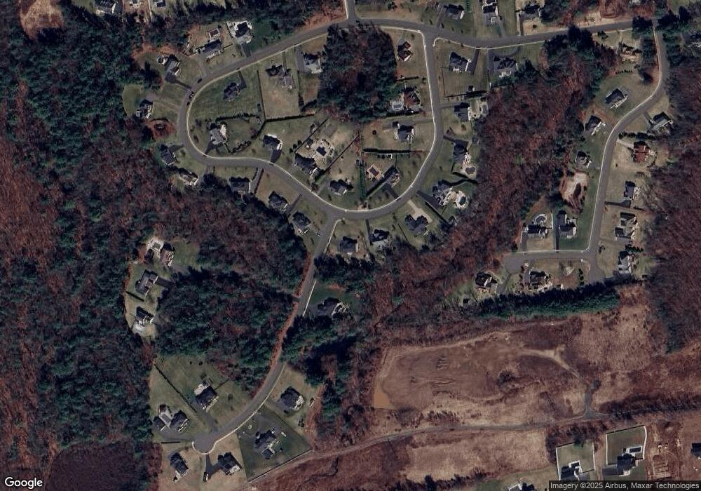
Map
Nearby Homes
- 338 W Pines Dr
- 61 Pine Hollow Dr
- 42 Whistling Straits Dr
- 0 Winchester Estates Lot 17
- 30 Oxford Ln
- 110 W Pines Dr
- 62 Bagno Dr
- 206 Mountain Pond Rd
- 1937 Mount Vernon Rd
- 2168 Mount Vernon Rd
- 132 Walkley Dr
- 554 Spring St
- 475 Jude Ln
- 1617 Mount Vernon Rd
- 490 Lazy Ln
- 30 Cortland Way Unit 30
- 1452 Mount Vernon Rd
- 1985 West St Unit 11
- 1985 West St Unit 9
- 240 Jude Ln
- 412 W Pines Dr
- 18 Brookfield Ct
- 397 W Pines Dr
- 424 W Pines Dr
- 67 Brookfield Ct
- 433 W Pines Dr
- 374 W Pines Dr
- 373 W Pines Dr
- 440 W Pines Dr
- 43 Sandy Pine Dr
- 352 W Pines Dr
- 461 W Pines Dr
- 359 W Pines Dr
- 452 W Pines Dr
- 491 W Pines Dr
- 75 Brookfield Ct
- 341 W Pines Dr
- 269 W Pines Dr
- 32 Sandy Pine Dr
- 466 W Pines Dr