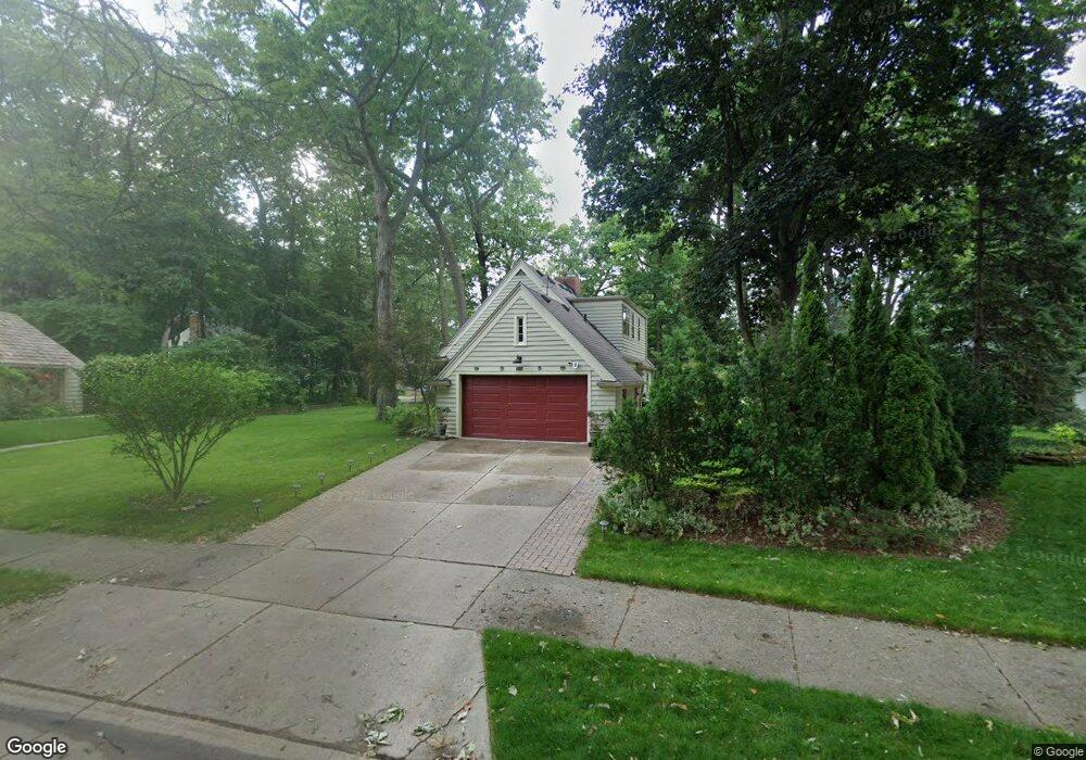
15 Brookline Ln Unit Bldg-Unit Dearborn, MI 48120
Springwells Dearborn NeighborhoodEstimated Value: $384,000 - $424,000
About This Home
This home is located at 15 Brookline Ln Unit Bldg-Unit, Dearborn, MI 48120 and is currently estimated at $409,356, approximately $253 per square foot. 15 Brookline Ln Unit Bldg-Unit is a home located in Wayne County with nearby schools including Geer Park Elementary School, Stout Middle School, and Edsel Ford High School.
Ownership History
We collect this data history from publicly available records. To have your information removed, we recommend requesting removal directly through your county’s website.
Purchase Details
Purchase Details
Purchase Details
Purchase Details
Home Values in the Area
Average Home Value in this Area
Purchase History
We collect this data history from publicly available records. To have your information removed, we recommend requesting removal directly through your county’s website.
| Date | Buyer | Sale Price | Title Company |
|---|---|---|---|
| $330,000 | None Available | ||
| -- | None Available | ||
| $252,000 | Title One Inc | ||
| $210,000 | Multiple |
Tax History
We collect this data history from publicly available records. To have your information removed, we recommend requesting removal directly through your county’s website.
| Year | Tax Paid | Tax Assessment Tax Assessment Total Assessment is a certain percentage of the fair market value that is determined by local assessors to be the total taxable value of land and additions on the property. | Land | Improvement |
|---|---|---|---|---|
| 2025 | $5,676 | $164,300 | $0 | $0 |
| 2024 | $5,552 | $161,100 | $0 | $0 |
| 2023 | $5,254 | $165,200 | $0 | $0 |
| 2022 | $5,912 | $115,000 | $0 | $0 |
| 2021 | $6,115 | $111,100 | $0 | $0 |
| 2019 | $6,052 | $95,900 | $0 | $0 |
| 2018 | $3,865 | $85,400 | $0 | $0 |
| 2017 | $1,109 | $82,700 | $0 | $0 |
| 2016 | $3,616 | $82,100 | $0 | $0 |
| 2015 | $6,834 | $83,700 | $0 | $0 |
| 2013 | $6,620 | $66,200 | $0 | $0 |
| 2011 | -- | $69,700 | $0 | $0 |
Map
- 30 Turnberry Ln
- 3124 Lindenwood Dr
- 3118 Lindenwood Dr Unit 61
- 3082 Lindenwood Dr
- 5 Barclay Ct
- 4509 Helen St
- 4545 Westland St
- 4535 Mead St
- 4901 Rosalie St
- 17215 Robert St
- 17169 Harman St
- 4858 Palmer St
- 4836 Firestone St
- 4835 Chovin St
- 17182 Henry St
- 43 Georgetown Ct Unit 74
- 5041 Payne Ave
- 7 Georgetown Ct
- 17646 Wood St
- 17913 Hanna St
Ask me questions while you tour the home.