15 Brooks Southshore Dr Addison, MI 49220
Estimated Value: $198,000 - $315,000
2
Beds
2
Baths
1,484
Sq Ft
$173/Sq Ft
Est. Value
About This Home
This home is located at 15 Brooks Southshore Dr, Addison, MI 49220 and is currently estimated at $256,500, approximately $172 per square foot. 15 Brooks Southshore Dr is a home located in Lenawee County with nearby schools including Columbia Lower Elementary School, Columbia Upper Elementary School, and Columbia Central Jr./Sr. High School.
Ownership History
Date
Name
Owned For
Owner Type
Purchase Details
Closed on
Oct 14, 2016
Sold by
Banas James J and Banas Arleen M
Bought by
Vermilya William R and Vermilya Lana K
Current Estimated Value
Home Financials for this Owner
Home Financials are based on the most recent Mortgage that was taken out on this home.
Original Mortgage
$85,840
Outstanding Balance
$68,904
Interest Rate
3.5%
Mortgage Type
New Conventional
Estimated Equity
$187,596
Purchase Details
Closed on
Jul 30, 1998
Bought by
Banas James J and Banas Arleen M
Create a Home Valuation Report for This Property
The Home Valuation Report is an in-depth analysis detailing your home's value as well as a comparison with similar homes in the area
Home Values in the Area
Average Home Value in this Area
Purchase History
| Date | Buyer | Sale Price | Title Company |
|---|---|---|---|
| Vermilya William R | $110,000 | American Title Company | |
| Banas James J | $44,900 | -- |
Source: Public Records
Mortgage History
| Date | Status | Borrower | Loan Amount |
|---|---|---|---|
| Open | Vermilya William R | $85,840 |
Source: Public Records
Tax History Compared to Growth
Tax History
| Year | Tax Paid | Tax Assessment Tax Assessment Total Assessment is a certain percentage of the fair market value that is determined by local assessors to be the total taxable value of land and additions on the property. | Land | Improvement |
|---|---|---|---|---|
| 2025 | $2,538 | $92,700 | $0 | $0 |
| 2024 | $1,392 | $84,200 | $0 | $0 |
| 2023 | -- | $83,800 | $0 | $0 |
| 2022 | $1,802 | $73,200 | $0 | $0 |
| 2021 | $1,762 | $65,200 | $0 | $0 |
| 2020 | $1,715 | $67,900 | $0 | $0 |
| 2019 | $241,299 | $67,900 | $0 | $0 |
| 2018 | $2,372 | $69,116 | $0 | $0 |
| 2017 | $2,287 | $70,168 | $0 | $0 |
| 2016 | $2,092 | $69,663 | $0 | $0 |
| 2014 | -- | $66,970 | $0 | $0 |
Source: Public Records
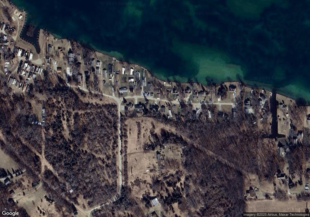
Map
Nearby Homes
- 186 Harris Dr
- 15816 Sanford Rd
- 17430 U S 12
- 14800 Canary Ct
- 17475 U S 223
- 900 Pamawa Dr
- 61 Pamawa Dr
- Lot 62 Pamawa Dr
- 9304 Parkhurst Hwy
- 15255 Wheaton Rd
- 10911 Devils Lake Hwy
- 407 Potter St
- 319 Neil St
- 15499 Cement City Rd
- 506 Lewis Rd
- 8000 Parkhurst Hwy Unit Carroll Dr ((1175)
- 129 Kathy Ln
- 120 Kathy Ln
- 16424 N Rollin Hwy
- 287 Somerset Dr
- 15 Brooks Southshore Dr
- 11 Brooks Southshore Dr
- 6 S Shore Dr
- 6 Brooks Southshore Dr
- 10 Brooks Southshore Dr
- 18 Brooks Southshore Dr
- 22 Brooks Southshore Dr
- 20 Brooks Southshore Dr
- 9 Brooks Southshore Dr
- 5 Brooks Southshore Dr
- 23 Brooks Southshore Dr
- 23 S Shore Dr
- 21 Brooks Southshore Dr
- 8 Brooks Southshore Dr
- 17 Brooks Shore S
- 17 Brooks Southshore Dr
- 25 Brooks Southshore Dr
- 25 S Shore Dr
- 4 Brooks Southshore Dr
- 4 S Shore Dr