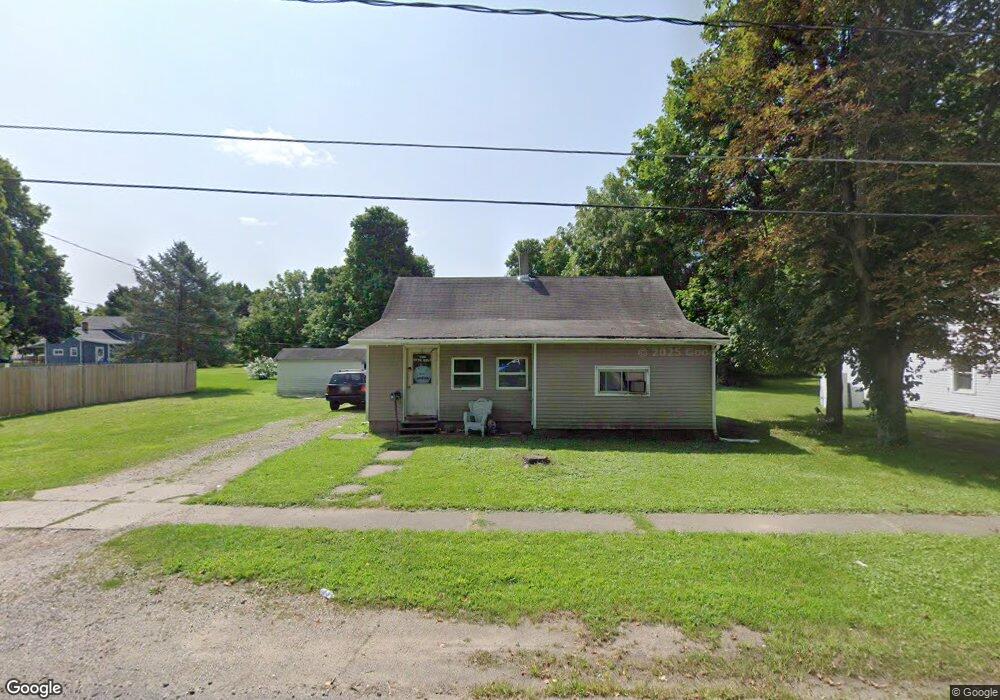
15 Broughton St Quincy, MI 49082
Estimated Value: $100,000 - $147,806
3
Beds
1
Bath
1,100
Sq Ft
$120/Sq Ft
Est. Value
About This Home
This home is located at 15 Broughton St, Quincy, MI 49082 and is currently estimated at $131,952, approximately $119 per square foot. 15 Broughton St is a home located in Branch County with nearby schools including Jennings Elementary School, Quincy Middle School, and Quincy High School.
Ownership History
Date
Name
Owned For
Owner Type
Purchase Details
Closed on
Jun 17, 2022
Sold by
Stanton Jerry J
Bought by
Manthri Properties Llc
Current Estimated Value
Purchase Details
Closed on
May 17, 2000
Sold by
Cline Dorita
Bought by
Stanton Jerry
Purchase Details
Closed on
May 14, 1999
Bought by
Cline Dorita D
Purchase Details
Closed on
May 21, 1998
Sold by
Parrot Dena and Ware Larry
Bought by
Commonpoint Mortage
Purchase Details
Closed on
Jul 21, 1997
Sold by
Stephens Curtis E and Stephens Deana M
Bought by
Parrot Dena and Ware Larry
Create a Home Valuation Report for This Property
The Home Valuation Report is an in-depth analysis detailing your home's value as well as a comparison with similar homes in the area
Home Values in the Area
Average Home Value in this Area
Purchase History
| Date | Buyer | Sale Price | Title Company |
|---|---|---|---|
| Manthri Properties Llc | $50,000 | None Listed On Document | |
| Stanton Jerry | $28,000 | -- | |
| Cline Dorita D | $25,500 | -- | |
| Commonpoint Mortage | $35,000 | -- | |
| Parrot Dena | $36,000 | -- |
Source: Public Records
Tax History Compared to Growth
Tax History
| Year | Tax Paid | Tax Assessment Tax Assessment Total Assessment is a certain percentage of the fair market value that is determined by local assessors to be the total taxable value of land and additions on the property. | Land | Improvement |
|---|---|---|---|---|
| 2025 | $2,611 | $48,953 | $0 | $0 |
| 2024 | $1,405 | $54,620 | $0 | $0 |
| 2023 | $1,031 | $53,187 | $0 | $0 |
| 2022 | $1,031 | $40,534 | $0 | $0 |
| 2021 | -- | $38,063 | $0 | $0 |
| 2020 | -- | $36,875 | $0 | $0 |
| 2019 | -- | $27,174 | $0 | $0 |
| 2018 | -- | $20,888 | $0 | $0 |
| 2017 | -- | $25,306 | $0 | $0 |
| 2016 | -- | $27,796 | $0 | $0 |
| 2015 | -- | $24,242 | $0 | $0 |
| 2014 | -- | $20,263 | $0 | $0 |
| 2013 | -- | $16,906 | $0 | $0 |
Source: Public Records
Map
Nearby Homes
- 69 N Main St
- 9 Cole St
- 1014 Aguadero Pkwy
- 34 Park St
- 42 W Chicago St
- 46 W Chicago St
- 34 W Liberty St
- 78 Taylor St
- 44 Berry St
- 1085 E Chicago Rd Unit B
- 1085 E Chicago Rd Unit A
- 1085 E Chicago Rd
- 424 Doris St
- 912 Beckwith Shore
- 988 Williams Dr
- 216 Sandalwood Dr
- 0 Wildwood Rd
- 732 Cambridge Dr
- 4251 Squires Rd
- 808 Rolling Meadows Dr