15 Bulkley Rd Sudbury, MA 01776
Estimated Value: $1,168,969 - $1,213,000
4
Beds
4
Baths
3,188
Sq Ft
$373/Sq Ft
Est. Value
About This Home
This home is located at 15 Bulkley Rd, Sudbury, MA 01776 and is currently estimated at $1,189,492, approximately $373 per square foot. 15 Bulkley Rd is a home located in Middlesex County with nearby schools including Peter Noyes Elementary School, Ephraim Curtis Middle School, and Lincoln-Sudbury Regional High School.
Ownership History
Date
Name
Owned For
Owner Type
Purchase Details
Closed on
Dec 3, 2020
Sold by
Resnic David J and Resnic Amy Z
Bought by
Resnic Ft
Current Estimated Value
Purchase Details
Closed on
Aug 25, 2015
Sold by
Macdonald Robert P and Macdonald Sharon J
Bought by
Resnic David J and Resnic Amy Z
Home Financials for this Owner
Home Financials are based on the most recent Mortgage that was taken out on this home.
Original Mortgage
$437,500
Interest Rate
4.07%
Mortgage Type
New Conventional
Purchase Details
Closed on
May 28, 2004
Sold by
Mellish Luanne C and Mellish Thomas J
Bought by
Macdonald Robert P and Macdonald Sharon J
Home Financials for this Owner
Home Financials are based on the most recent Mortgage that was taken out on this home.
Original Mortgage
$300,000
Interest Rate
5.88%
Mortgage Type
Purchase Money Mortgage
Purchase Details
Closed on
Jan 14, 2000
Sold by
Beck Carole J
Bought by
Mellish Thomas J and Mellish Luanne C
Home Financials for this Owner
Home Financials are based on the most recent Mortgage that was taken out on this home.
Original Mortgage
$248,000
Interest Rate
7.79%
Mortgage Type
Purchase Money Mortgage
Create a Home Valuation Report for This Property
The Home Valuation Report is an in-depth analysis detailing your home's value as well as a comparison with similar homes in the area
Home Values in the Area
Average Home Value in this Area
Purchase History
| Date | Buyer | Sale Price | Title Company |
|---|---|---|---|
| Resnic Ft | -- | None Available | |
| Resnic Ft | -- | None Available | |
| Resnic David J | $737,500 | -- | |
| Macdonald Robert P | $627,500 | -- | |
| Macdonald Robert P | $627,500 | -- | |
| Mellish Thomas J | $310,000 | -- |
Source: Public Records
Mortgage History
| Date | Status | Borrower | Loan Amount |
|---|---|---|---|
| Previous Owner | Resnic David J | $437,500 | |
| Previous Owner | Macdonald Robert P | $300,000 | |
| Previous Owner | Mellish Thomas J | $248,000 |
Source: Public Records
Tax History Compared to Growth
Tax History
| Year | Tax Paid | Tax Assessment Tax Assessment Total Assessment is a certain percentage of the fair market value that is determined by local assessors to be the total taxable value of land and additions on the property. | Land | Improvement |
|---|---|---|---|---|
| 2025 | $14,293 | $976,300 | $407,500 | $568,800 |
| 2024 | $13,764 | $942,100 | $395,500 | $546,600 |
| 2023 | $13,021 | $825,700 | $366,300 | $459,400 |
| 2022 | $12,908 | $715,100 | $336,000 | $379,100 |
| 2021 | $12,360 | $656,400 | $336,000 | $320,400 |
| 2020 | $12,111 | $656,400 | $336,000 | $320,400 |
| 2019 | $11,756 | $656,400 | $336,000 | $320,400 |
| 2018 | $11,608 | $647,400 | $353,600 | $293,800 |
| 2017 | $12,203 | $687,900 | $396,800 | $291,100 |
| 2016 | $11,832 | $664,700 | $381,600 | $283,100 |
| 2015 | $11,345 | $644,600 | $366,800 | $277,800 |
| 2014 | $11,332 | $628,500 | $356,000 | $272,500 |
Source: Public Records
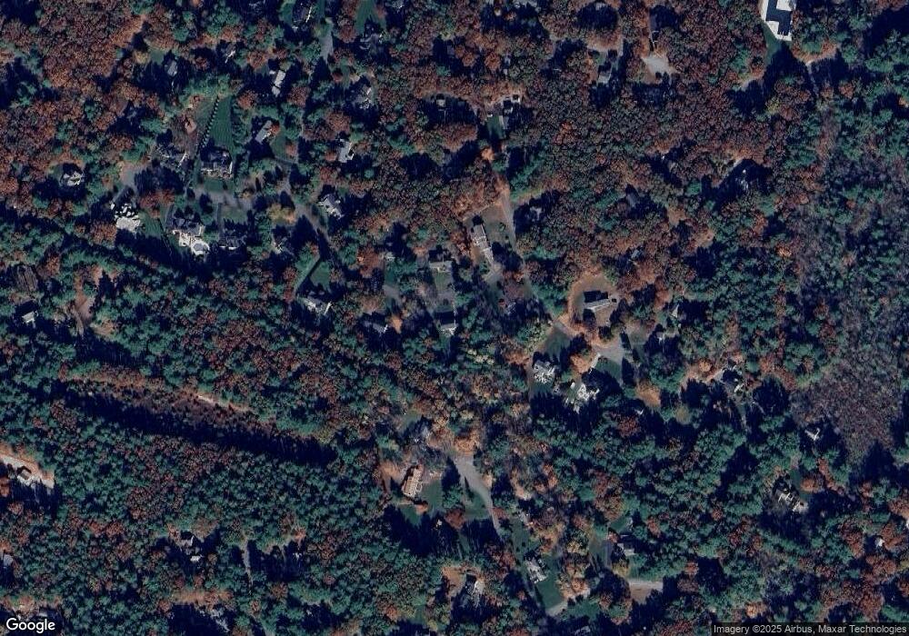
Map
Nearby Homes
- 7 Saddle Ridge Rd
- 143 Peakham Rd
- 14 Tanbark Rd
- 21 Summer St
- 30 Rolling Ln
- 12 Hickory Rd
- 54 Stone Rd
- 0 Robbins Rd
- 25 Bridle Path
- 0 Boston Post Rd
- 89 Bridle Path
- 123 Dutton Rd
- 7 Adams Rd
- 24 Woodland Rd
- 270 Old Lancaster Rd
- 47 Fairbank Rd
- 36 Old Forge Ln
- 4 Elderberry Cir
- 24 Goodnow Rd
- 1011 Boston Post Rd