15 Captain Kidd Rd East Sandwich, MA 02537
Estimated Value: $807,000 - $2,611,000
2
Beds
3
Baths
2,440
Sq Ft
$640/Sq Ft
Est. Value
About This Home
This home is located at 15 Captain Kidd Rd, East Sandwich, MA 02537 and is currently estimated at $1,560,999, approximately $639 per square foot. 15 Captain Kidd Rd is a home located in Barnstable County with nearby schools including Sandwich Middle High School and Riverview School.
Ownership History
Date
Name
Owned For
Owner Type
Purchase Details
Closed on
Feb 24, 2023
Sold by
15 Captain Kidd Rd Rt
Bought by
Mccune Richard M and Belden Heidi
Current Estimated Value
Create a Home Valuation Report for This Property
The Home Valuation Report is an in-depth analysis detailing your home's value as well as a comparison with similar homes in the area
Home Values in the Area
Average Home Value in this Area
Purchase History
| Date | Buyer | Sale Price | Title Company |
|---|---|---|---|
| Mccune Richard M | $599,900 | None Available |
Source: Public Records
Tax History Compared to Growth
Tax History
| Year | Tax Paid | Tax Assessment Tax Assessment Total Assessment is a certain percentage of the fair market value that is determined by local assessors to be the total taxable value of land and additions on the property. | Land | Improvement |
|---|---|---|---|---|
| 2025 | $10,025 | $948,400 | $498,900 | $449,500 |
| 2024 | $6,911 | $639,900 | $384,100 | $255,800 |
| 2023 | $6,731 | $585,300 | $349,200 | $236,100 |
| 2022 | $6,118 | $464,900 | $274,300 | $190,600 |
| 2021 | $5,144 | $373,600 | $203,800 | $169,800 |
| 2020 | $5,403 | $377,600 | $216,600 | $161,000 |
| 2019 | $5,870 | $409,900 | $258,700 | $151,200 |
| 2018 | $5,742 | $401,800 | $260,900 | $140,900 |
| 2017 | $5,576 | $373,500 | $241,700 | $131,800 |
| 2016 | $5,318 | $367,500 | $239,200 | $128,300 |
| 2015 | $5,208 | $351,400 | $225,100 | $126,300 |
Source: Public Records
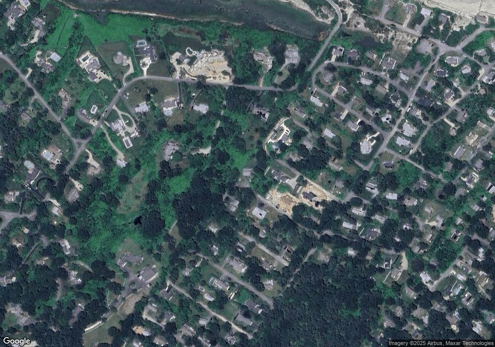
Map
Nearby Homes
- 0 Captain Kidd Rd
- 70 Wing Blvd E
- 566 Route 6a
- 7 Oak Ridge Rd
- 507 Massachusetts 6a Unit 9
- 12 Pine Terrace
- 3 Mulberry Cir
- 37 Ploughed Neck Rd
- 11 Locust Ln
- 420 Massachusetts 6a
- 99 N Shore Blvd Unit 1
- 99 N Shore Blvd Unit A
- 49 Atkins Rd
- 49 Atkins Rd
- 4 Cowslip Path
- 390 Massachusetts 6a
- 58 Williams Path
- 56 N Shore Blvd
- 20 Crestview Dr
- 6 Harpers Hollow
- 15 Captain Kidd Rd
- 9 Captain Morgan Rd
- 10 Captain Kidd Rd
- 5 Captain Morgan Rd
- 19 Captain Kidd Rd
- 14 Captain Kidd Rd
- 12 Captain Morgan Rd
- 6 Captain Kidd Rd
- 58 Torrey Rd
- 11 Captain Kidd Rd
- 14 Captain Morgan Rd
- 5 Captain Kidd Rd
- 5 Captain Kidd Rd Unit 54-076
- 1 Captain Morgan Rd
- 52 Torrey Rd
- 21 Captain Kidd Rd
- 11 Captain Morgan Rd
- 15 Captain Towne Rd
- 2 Captain Morgan Rd
- 2 Captain Kidd Rd