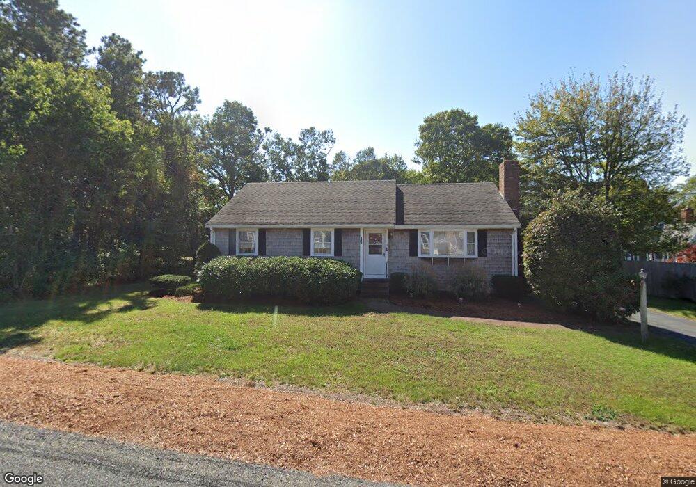
15 Captain Phillips Rd West Dennis, MA 02670
West Dennis NeighborhoodEstimated Value: $659,798 - $802,000
3
Beds
2
Baths
1,244
Sq Ft
$577/Sq Ft
Est. Value
About This Home
This home is located at 15 Captain Phillips Rd, West Dennis, MA 02670 and is currently estimated at $717,450, approximately $576 per square foot. 15 Captain Phillips Rd is a home located in Barnstable County with nearby schools including Dennis-Yarmouth Regional High School and St. Pius X. School.
Ownership History
Date
Name
Owned For
Owner Type
Purchase Details
Closed on
Jan 9, 2002
Sold by
Mento John L
Bought by
Oconnor John M and Oconnor Mary T
Current Estimated Value
Home Financials for this Owner
Home Financials are based on the most recent Mortgage that was taken out on this home.
Original Mortgage
$80,000
Outstanding Balance
$32,692
Interest Rate
7.04%
Mortgage Type
Purchase Money Mortgage
Estimated Equity
$684,758
Create a Home Valuation Report for This Property
The Home Valuation Report is an in-depth analysis detailing your home's value as well as a comparison with similar homes in the area
Home Values in the Area
Average Home Value in this Area
Purchase History
| Date | Buyer | Sale Price | Title Company |
|---|---|---|---|
| Oconnor John M | $101,000 | -- |
Source: Public Records
Mortgage History
| Date | Status | Borrower | Loan Amount |
|---|---|---|---|
| Open | Oconnor John M | $80,000 |
Source: Public Records
Tax History Compared to Growth
Tax History
| Year | Tax Paid | Tax Assessment Tax Assessment Total Assessment is a certain percentage of the fair market value that is determined by local assessors to be the total taxable value of land and additions on the property. | Land | Improvement |
|---|---|---|---|---|
| 2025 | $2,606 | $601,900 | $216,700 | $385,200 |
| 2024 | $2,498 | $569,000 | $208,400 | $360,600 |
| 2023 | $2,416 | $517,300 | $189,400 | $327,900 |
| 2022 | $2,211 | $394,900 | $147,900 | $247,000 |
| 2021 | $2,118 | $351,200 | $145,000 | $206,200 |
| 2020 | $2,109 | $345,700 | $156,100 | $189,600 |
| 2019 | $2,082 | $337,400 | $164,000 | $173,400 |
| 2018 | $1,911 | $301,400 | $145,700 | $155,700 |
| 2017 | $1,823 | $296,500 | $145,700 | $150,800 |
| 2016 | $1,817 | $278,300 | $150,900 | $127,400 |
| 2015 | $1,781 | $278,300 | $150,900 | $127,400 |
| 2014 | $1,752 | $275,900 | $150,900 | $125,000 |
Source: Public Records
Map
Nearby Homes
- 178 School St
- 61 Trotters Ln
- 401 Main St Unit 201
- 401 Main St Unit 101
- 6 Baker Way
- 467 Main St
- 23 Doric Ave
- 14 Schoolhouse Ln
- 209 Main St Unit 3
- 209 Main St Unit 6
- 209 Main St Unit 1
- 209 Main St Unit 2
- 209 Main St Unit 4
- 209 Main St Unit 5
- 15 Woodside Park Rd
- 80 Michaels Ave
- 37 Ocean Dr Unit 2
- 12 Spoonbill Rd
- 2 Rita Mary Way
- 64 Beaten Rd
- 13 Captain Phillips Rd
- 14 Clarlaw Way
- 18 Clarlaw Way
- 18 Bevins Ct
- 22 Captain Phillips Rd
- 16 Captain Phillips Rd
- 9 Captain Phillips Rd
- 8 Clarlaw Way
- 12 Captain Phillips Rd
- 19 Folger Ln
- 15 Folger Ln
- 23 Folger Ln
- 5 Captain Phillips Rd
- 17 Clarlaw Way
- 13 Clarlaw Way
- 9 Folger Ln
- 2 Clarlaw Way
- 8 Captain Phillips Rd
- 25 Bevins Ct
- 11 Bevins Ct