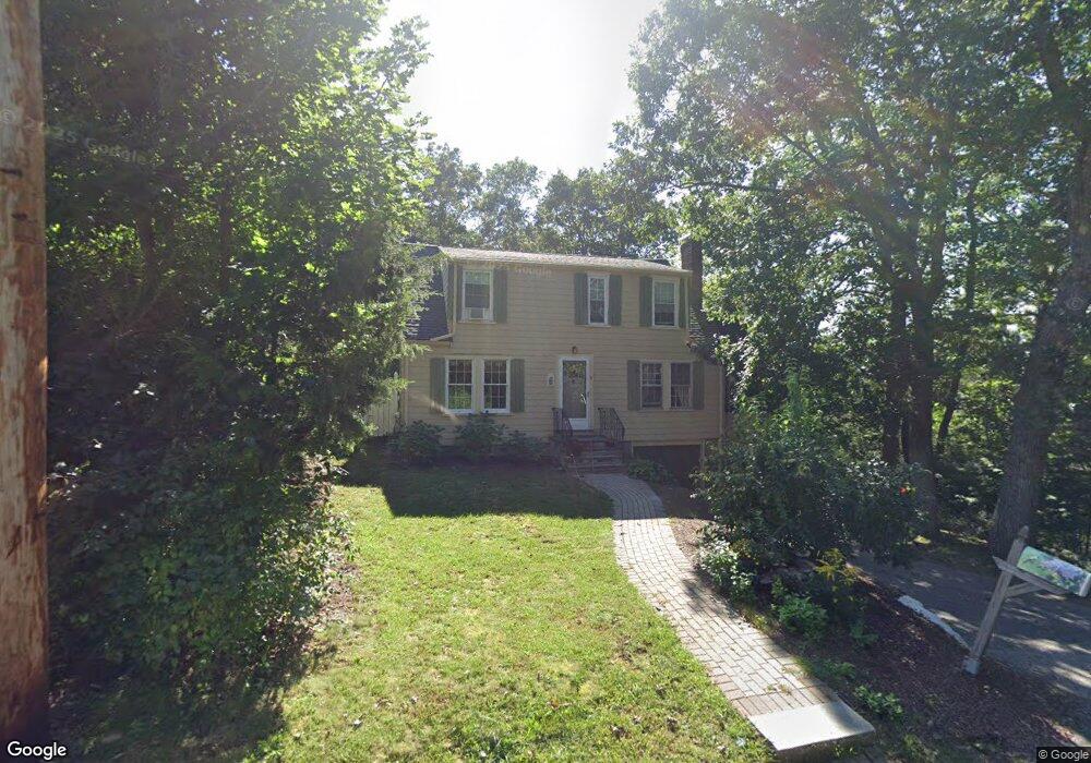
15 Card Ave Westwood, MA 02090
Estimated Value: $798,885 - $996,000
2
Beds
2
Baths
1,414
Sq Ft
$614/Sq Ft
Est. Value
About This Home
This home is located at 15 Card Ave, Westwood, MA 02090 and is currently estimated at $868,221, approximately $614 per square foot. 15 Card Ave is a home located in Norfolk County with nearby schools including Westwood High School, St Catherine Of Siena School, and Xaverian Brothers High School.
Ownership History
Date
Name
Owned For
Owner Type
Purchase Details
Closed on
Sep 3, 2002
Sold by
Dubbs Steven H and Dubbs Andrea B
Bought by
Kalamvokis James T and Kalamvokis Cynthia A
Current Estimated Value
Home Financials for this Owner
Home Financials are based on the most recent Mortgage that was taken out on this home.
Original Mortgage
$195,000
Outstanding Balance
$83,298
Interest Rate
6.55%
Mortgage Type
Purchase Money Mortgage
Estimated Equity
$784,923
Purchase Details
Closed on
Nov 19, 1993
Sold by
Reichert George H and Reichert Virginia A
Bought by
Spence Justin R and Spence Natalie B
Home Financials for this Owner
Home Financials are based on the most recent Mortgage that was taken out on this home.
Original Mortgage
$162,900
Interest Rate
6.77%
Mortgage Type
Purchase Money Mortgage
Create a Home Valuation Report for This Property
The Home Valuation Report is an in-depth analysis detailing your home's value as well as a comparison with similar homes in the area
Home Values in the Area
Average Home Value in this Area
Purchase History
| Date | Buyer | Sale Price | Title Company |
|---|---|---|---|
| Kalamvokis James T | $362,000 | -- | |
| Spence Justin R | $181,000 | -- |
Source: Public Records
Mortgage History
| Date | Status | Borrower | Loan Amount |
|---|---|---|---|
| Open | Kalamvokis James T | $195,000 | |
| Previous Owner | Spence Justin R | $162,900 |
Source: Public Records
Tax History Compared to Growth
Tax History
| Year | Tax Paid | Tax Assessment Tax Assessment Total Assessment is a certain percentage of the fair market value that is determined by local assessors to be the total taxable value of land and additions on the property. | Land | Improvement |
|---|---|---|---|---|
| 2025 | $9,235 | $721,500 | $441,800 | $279,700 |
| 2024 | $8,827 | $689,100 | $420,700 | $268,400 |
| 2023 | $7,885 | $551,400 | $350,600 | $200,800 |
| 2022 | $7,574 | $510,750 | $309,900 | $200,850 |
| 2021 | $7,681 | $519,700 | $295,200 | $224,500 |
| 2020 | $7,279 | $501,650 | $295,200 | $206,450 |
| 2019 | $7,061 | $481,950 | $281,100 | $200,850 |
| 2018 | $6,751 | $447,350 | $281,100 | $166,250 |
| 2017 | $6,506 | $446,550 | $281,100 | $165,450 |
| 2016 | $6,432 | $438,750 | $281,100 | $157,650 |
| 2015 | $6,296 | $413,150 | $281,100 | $132,050 |
Source: Public Records
Map
Nearby Homes