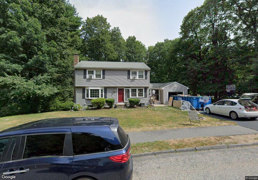
15 Carolyn Dr Westborough, MA 01581
Estimated Value: $677,000 - $771,000
4
Beds
2
Baths
1,666
Sq Ft
$442/Sq Ft
Est. Value
About This Home
This home is located at 15 Carolyn Dr, Westborough, MA 01581 and is currently estimated at $735,789, approximately $441 per square foot. 15 Carolyn Dr is a home located in Worcester County with nearby schools including Westborough High School, Al-Hamra Academy, and Ebridge Montessori School.
Ownership History
Date
Name
Owned For
Owner Type
Purchase Details
Closed on
May 28, 2015
Sold by
Burke Neil J and Burke Leslie C
Bought by
Grosfelt Justin E and Grosfelt Katrina E
Current Estimated Value
Home Financials for this Owner
Home Financials are based on the most recent Mortgage that was taken out on this home.
Original Mortgage
$396,150
Outstanding Balance
$305,730
Interest Rate
3.65%
Mortgage Type
New Conventional
Estimated Equity
$430,059
Purchase Details
Closed on
May 15, 1987
Sold by
Galusha Wayne F
Bought by
Burke Neil J
Create a Home Valuation Report for This Property
The Home Valuation Report is an in-depth analysis detailing your home's value as well as a comparison with similar homes in the area
Home Values in the Area
Average Home Value in this Area
Purchase History
| Date | Buyer | Sale Price | Title Company |
|---|---|---|---|
| Grosfelt Justin E | $417,000 | -- | |
| Burke Neil J | $219,900 | -- |
Source: Public Records
Mortgage History
| Date | Status | Borrower | Loan Amount |
|---|---|---|---|
| Open | Grosfelt Justin E | $396,150 | |
| Previous Owner | Burke Neil J | $280,000 | |
| Previous Owner | Burke Neil J | $155,000 |
Source: Public Records
Tax History Compared to Growth
Tax History
| Year | Tax Paid | Tax Assessment Tax Assessment Total Assessment is a certain percentage of the fair market value that is determined by local assessors to be the total taxable value of land and additions on the property. | Land | Improvement |
|---|---|---|---|---|
| 2025 | $10,264 | $630,100 | $334,500 | $295,600 |
| 2024 | $9,656 | $588,400 | $318,400 | $270,000 |
| 2023 | $9,275 | $550,800 | $300,300 | $250,500 |
| 2022 | $8,609 | $465,600 | $245,700 | $219,900 |
| 2021 | $8,185 | $441,500 | $221,600 | $219,900 |
| 2020 | $7,916 | $432,100 | $217,600 | $214,500 |
| 2019 | $7,622 | $415,800 | $215,600 | $200,200 |
| 2018 | $7,155 | $387,600 | $207,500 | $180,100 |
| 2017 | $6,899 | $387,600 | $207,500 | $180,100 |
| 2016 | $6,721 | $378,200 | $201,500 | $176,700 |
| 2015 | $6,573 | $353,600 | $189,400 | $164,200 |
Source: Public Records
Map
Nearby Homes
- 10 Linda St
- 30 Arch St
- 8 Arch St
- 49 Arch St Unit 2
- 71 Nourse St
- Lot 1 Beeton Path
- 17 Olde Hickory Path
- 8 Arch St
- 30 Old Nourse St
- 1 Benjamin Dr
- 16 Daania Dr Unit 16
- 22 Capt Samuel Forbush Rd
- 457 Walnut St
- 201 Old Westboro Rd
- 14 Nourse St
- 603 South St
- 165 Green St
- 16 Ward Ln
- 562 South St
- 9 Westminster Way