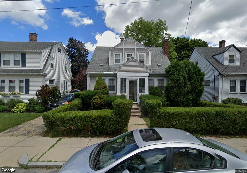
15 Carroll St West Roxbury, MA 02132
West Roxbury NeighborhoodEstimated Value: $655,000 - $916,000
2
Beds
2
Baths
1,332
Sq Ft
$562/Sq Ft
Est. Value
About This Home
This home is located at 15 Carroll St, West Roxbury, MA 02132 and is currently estimated at $748,365, approximately $561 per square foot. 15 Carroll St is a home located in Suffolk County with nearby schools including St Theresa School, Catholic Memorial School, and The Roxbury Latin School.
Ownership History
Date
Name
Owned For
Owner Type
Purchase Details
Closed on
Aug 13, 2018
Sold by
Otoole Catherine A and Lubar Nancy E
Bought by
Lubar Rt
Current Estimated Value
Purchase Details
Closed on
Jan 17, 1992
Sold by
Hobbs Wendy L and Pollets John R
Bought by
Otoole Katherine A and Lubar Nancy E
Home Financials for this Owner
Home Financials are based on the most recent Mortgage that was taken out on this home.
Original Mortgage
$136,125
Interest Rate
8.57%
Mortgage Type
Purchase Money Mortgage
Purchase Details
Closed on
Jun 23, 1988
Sold by
Davidow Ernest P
Bought by
Pollets John R
Home Financials for this Owner
Home Financials are based on the most recent Mortgage that was taken out on this home.
Original Mortgage
$134,000
Interest Rate
10.32%
Mortgage Type
Purchase Money Mortgage
Create a Home Valuation Report for This Property
The Home Valuation Report is an in-depth analysis detailing your home's value as well as a comparison with similar homes in the area
Home Values in the Area
Average Home Value in this Area
Purchase History
| Date | Buyer | Sale Price | Title Company |
|---|---|---|---|
| Lubar Rt | -- | -- | |
| Otoole Katherine A | $151,250 | -- | |
| Pollets John R | $167,500 | -- |
Source: Public Records
Mortgage History
| Date | Status | Borrower | Loan Amount |
|---|---|---|---|
| Previous Owner | Pollets John R | $20,000 | |
| Previous Owner | Pollets John R | $124,500 | |
| Previous Owner | Pollets John R | $136,125 | |
| Previous Owner | Pollets John R | $134,000 |
Source: Public Records
Tax History Compared to Growth
Tax History
| Year | Tax Paid | Tax Assessment Tax Assessment Total Assessment is a certain percentage of the fair market value that is determined by local assessors to be the total taxable value of land and additions on the property. | Land | Improvement |
|---|---|---|---|---|
| 2025 | $6,435 | $555,700 | $180,900 | $374,800 |
| 2024 | $5,518 | $506,200 | $183,500 | $322,700 |
| 2023 | $5,179 | $482,200 | $174,800 | $307,400 |
| 2022 | $4,770 | $438,400 | $158,900 | $279,500 |
| 2021 | $4,586 | $429,800 | $155,800 | $274,000 |
| 2020 | $4,268 | $404,200 | $141,100 | $263,100 |
| 2019 | $4,057 | $384,900 | $118,400 | $266,500 |
| 2018 | $3,735 | $356,400 | $118,400 | $238,000 |
| 2017 | $3,699 | $349,300 | $118,400 | $230,900 |
| 2016 | $3,731 | $339,200 | $118,400 | $220,800 |
| 2015 | $3,857 | $318,500 | $139,600 | $178,900 |
| 2014 | $3,780 | $300,500 | $139,600 | $160,900 |
Source: Public Records
Map
Nearby Homes
- 9 Carroll St
- 180 Dent St
- 15 Atlantis St
- 68 Carroll St
- 615 Lagrange St
- 100 Keith St
- 57 Glenham St
- 840 Vfw Pkwy
- 381 Baker St
- 583 Baker St Unit 583
- 990 Vfw Pkwy Unit 302
- 349 Baker St
- 349 Baker St Unit A
- 26 Vermont St
- 80 Mount Vernon St
- 50 Bonair St
- 33 Furbush Rd
- 95 Anderer Ln Unit 7
- 18 Richwood St
- 97 Anderer Ln Unit 105