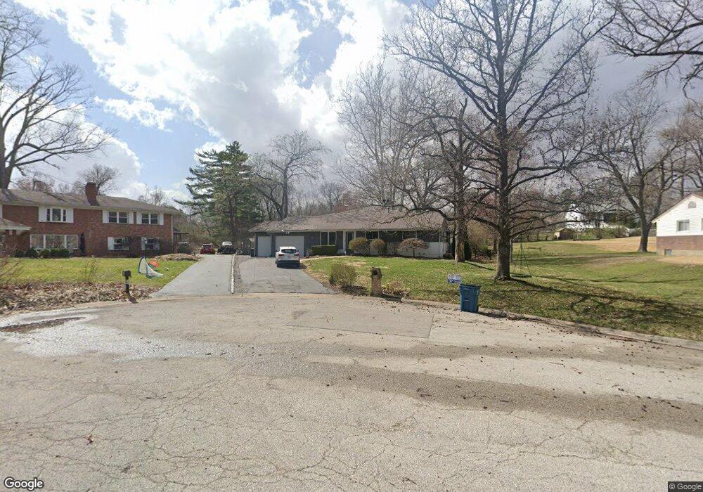
15 Carter Ct Saint Louis, MO 63132
Estimated Value: $748,758 - $895,000
4
Beds
3
Baths
2,875
Sq Ft
$279/Sq Ft
Est. Value
About This Home
This home is located at 15 Carter Ct, Saint Louis, MO 63132 and is currently estimated at $803,190, approximately $279 per square foot. 15 Carter Ct is a home located in St. Louis County with nearby schools including Spoede Elementary School, Ladue 5th Grade Center, and Ladue Middle School.
Ownership History
Date
Name
Owned For
Owner Type
Purchase Details
Closed on
Nov 8, 2011
Sold by
Federal Home Loan Mortgage Corporation
Bought by
Minoff Michael J and Minoff Alana D
Current Estimated Value
Home Financials for this Owner
Home Financials are based on the most recent Mortgage that was taken out on this home.
Original Mortgage
$280,000
Interest Rate
4.04%
Mortgage Type
New Conventional
Purchase Details
Closed on
Nov 1, 2010
Sold by
Schalk Kimberly K and Schalk Nick H
Bought by
Federal Home Loan Mortgage Corp
Purchase Details
Closed on
Jul 31, 1997
Sold by
Schalk Nick H and Schalk Kimberly K
Bought by
Kupferer Joseph and Kupferer Sylvia
Create a Home Valuation Report for This Property
The Home Valuation Report is an in-depth analysis detailing your home's value as well as a comparison with similar homes in the area
Home Values in the Area
Average Home Value in this Area
Purchase History
| Date | Buyer | Sale Price | Title Company |
|---|---|---|---|
| Minoff Michael J | $255,000 | None Available | |
| Federal Home Loan Mortgage Corp | $443,710 | None Available | |
| Kupferer Joseph | -- | -- |
Source: Public Records
Mortgage History
| Date | Status | Borrower | Loan Amount |
|---|---|---|---|
| Previous Owner | Minoff Michael J | $280,000 |
Source: Public Records
Tax History
| Year | Tax Paid | Tax Assessment Tax Assessment Total Assessment is a certain percentage of the fair market value that is determined by local assessors to be the total taxable value of land and additions on the property. | Land | Improvement |
|---|---|---|---|---|
| 2025 | $7,782 | $126,790 | $57,290 | $69,500 |
| 2024 | $7,782 | $110,710 | $39,140 | $71,570 |
| 2023 | $7,872 | $110,710 | $39,140 | $71,570 |
| 2022 | $6,445 | $87,400 | $39,140 | $48,260 |
| 2021 | $6,408 | $87,400 | $39,140 | $48,260 |
| 2020 | $6,484 | $87,480 | $33,350 | $54,130 |
| 2019 | $5,530 | $76,990 | $33,350 | $43,640 |
| 2018 | $4,701 | $60,370 | $28,180 | $32,190 |
| 2016 | $4,535 | $56,540 | $20,440 | $36,100 |
Source: Public Records
Map
Nearby Homes
- 740 Payson Dr
- 9706 Mansfield Dr
- 1193 Noa Ln Unit 30
- 9409 Olie Way Rd Unit 27
- 1181 Rd Unit 33
- 9401 Olie Way Rd Unit 30
- 1185 Noa Lane Rd Unit 32
- 1189 Noa Lane Rd Unit 31
- 9425 Olie Way Rd Unit 29
- 4 Homestead
- 9501 Old Bonhomme Rd
- 9504 Old Bonhomme Rd
- 546 White Rose Ln
- 10328 Forest Brook Ln Unit H
- 5 Ridgegate Dr
- 9820 Warington Square
- 23 Saint Alfred Rd
- 21 Ramsgate Dr
- 10429 Corbeil Dr Unit 60
- 10379 Forest Brook Ln Unit G
Your Personal Tour Guide
Ask me questions while you tour the home.