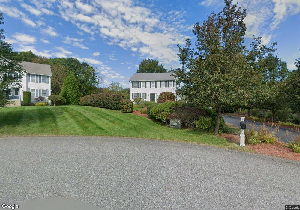
15 Carters Way Unit (Lot 4) Seekonk, MA 02771
Estimated Value: $663,846 - $778,000
3
Beds
3
Baths
2,040
Sq Ft
$348/Sq Ft
Est. Value
About This Home
This home is located at 15 Carters Way Unit (Lot 4), Seekonk, MA 02771 and is currently estimated at $710,212, approximately $348 per square foot. 15 Carters Way Unit (Lot 4) is a home located in Bristol County with nearby schools including Seekonk High School, St Margaret School, and Ocean State Montessori School.
Ownership History
Date
Name
Owned For
Owner Type
Purchase Details
Closed on
Feb 6, 2020
Sold by
White Laurie
Bought by
White Laurie and White William
Current Estimated Value
Purchase Details
Closed on
Jun 28, 2013
Sold by
Poole Marsha A
Bought by
Poole Marsha A and White Laurie
Purchase Details
Closed on
Jan 29, 2010
Sold by
Costa Dev Llc and Costa
Bought by
Poole Gary B and Poole Marsha A
Home Financials for this Owner
Home Financials are based on the most recent Mortgage that was taken out on this home.
Original Mortgage
$69,000
Interest Rate
4.95%
Mortgage Type
Purchase Money Mortgage
Create a Home Valuation Report for This Property
The Home Valuation Report is an in-depth analysis detailing your home's value as well as a comparison with similar homes in the area
Home Values in the Area
Average Home Value in this Area
Purchase History
| Date | Buyer | Sale Price | Title Company |
|---|---|---|---|
| White Laurie | -- | None Available | |
| Poole Marsha A | -- | -- | |
| Poole Gary B | $339,000 | -- |
Source: Public Records
Mortgage History
| Date | Status | Borrower | Loan Amount |
|---|---|---|---|
| Previous Owner | Poole Gary B | $69,000 |
Source: Public Records
Tax History Compared to Growth
Tax History
| Year | Tax Paid | Tax Assessment Tax Assessment Total Assessment is a certain percentage of the fair market value that is determined by local assessors to be the total taxable value of land and additions on the property. | Land | Improvement |
|---|---|---|---|---|
| 2025 | $6,958 | $563,400 | $217,600 | $345,800 |
| 2024 | $6,399 | $518,100 | $197,600 | $320,500 |
| 2023 | $6,213 | $473,900 | $179,200 | $294,700 |
| 2022 | $5,667 | $424,800 | $173,700 | $251,100 |
| 2021 | $5,462 | $402,500 | $157,700 | $244,800 |
| 2020 | $5,285 | $401,300 | $158,000 | $243,300 |
| 2019 | $5,083 | $389,200 | $158,000 | $231,200 |
| 2018 | $4,952 | $370,900 | $152,300 | $218,600 |
| 2017 | $4,831 | $358,900 | $152,300 | $206,600 |
| 2016 | $4,596 | $342,700 | $140,800 | $201,900 |
| 2015 | $4,492 | $339,500 | $140,800 | $198,700 |
Source: Public Records
Map
Nearby Homes
- 0 Milton St Unit 72633661
- 296 Fall River Ave
- 0 Taunton Ave
- 0 Pleasant St
- 12 Arthur St
- 54 Raymond St
- 698 Fall River Ave
- 16 N Rose St
- 11 N Rose St
- 20 Elmsgate Way
- 26 Mayflower St
- 56 Irving Ave
- 270 Woodward Ave
- 132 S Rose St
- 260 Grosvenor Ave
- 30 Metacomet Ave
- 57 Redwood Ln
- 674 N Broadway
- 454 Fall River Ave
- 25 Ide Ave
- 15 Carters Way
- 82 Milton St
- 72 Milton St
- 19 Carters Way
- 11 Carters Way
- 84 Milton St
- 24 Carters Way
- 0 Milton St Unit 419505
- 0 Milton St Unit 911813
- 0 Milton St Unit 1185810
- 88 Milton St
- 0 Milton St
- 20 Carters Way
- 110 Ipswich St
- 9 Carters Way
- 16 Carters Way
- 18 Milton St
- 12 Carters Way
- 91 Ipswich St
- 63 Milton St