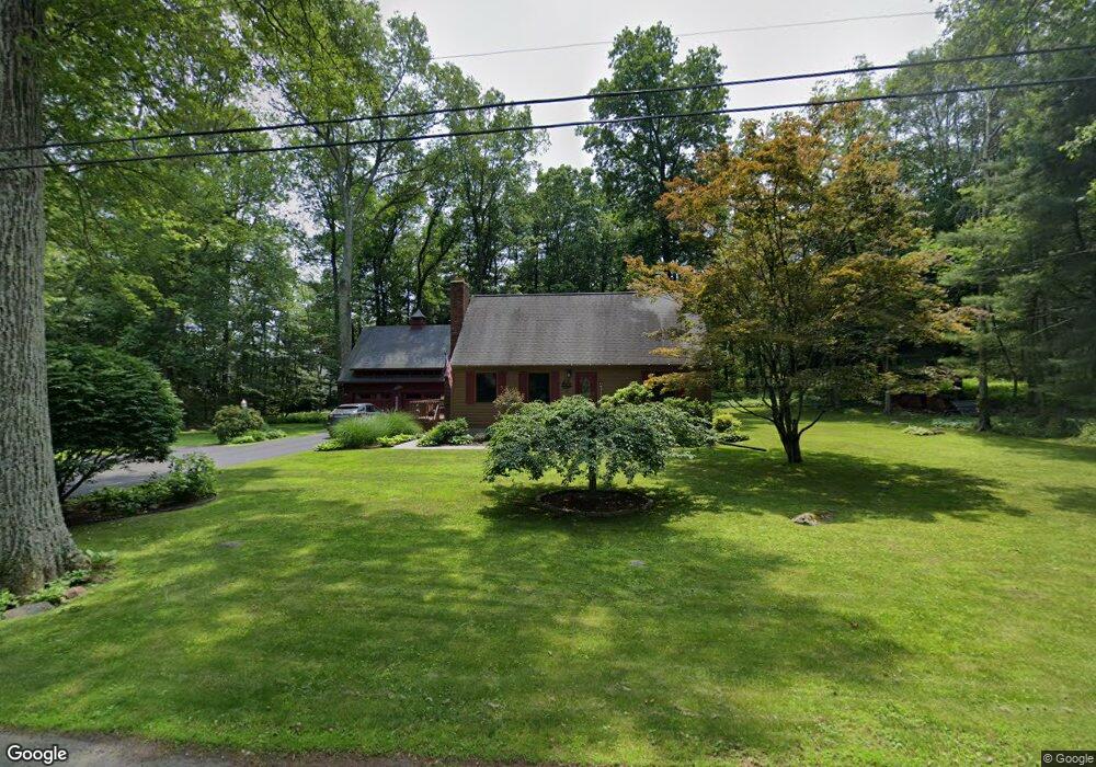
15 Cemetery Rd Seymour, CT 06483
Seymour AreaEstimated Value: $436,000 - $475,000
About This Home
This home is located at 15 Cemetery Rd, Seymour, CT 06483 and is currently estimated at $456,682, approximately $320 per square foot. 15 Cemetery Rd is a home located in New Haven County with nearby schools including Bungay Elementary School, Seymour Middle School, and Seymour High School.
Ownership History
We collect this data history from publicly available records. To have your information removed, we recommend requesting removal directly through your county’s website.
Purchase Details
Purchase Details
Home Values in the Area
Average Home Value in this Area
Purchase History
We collect this data history from publicly available records. To have your information removed, we recommend requesting removal directly through your county’s website.
| Date | Buyer | Sale Price | Title Company |
|---|---|---|---|
| -- | None Available | ||
| -- | -- |
Mortgage History
We collect this data history from publicly available records. To have your information removed, we recommend requesting removal directly through your county’s website.
| Date | Status | Borrower | Loan Amount |
|---|---|---|---|
| Previous Owner | $75,000 | ||
| Previous Owner | $75,000 |
Tax History
We collect this data history from publicly available records. To have your information removed, we recommend requesting removal directly through your county’s website.
| Year | Tax Paid | Tax Assessment Tax Assessment Total Assessment is a certain percentage of the fair market value that is determined by local assessors to be the total taxable value of land and additions on the property. | Land | Improvement |
|---|---|---|---|---|
| 2025 | $7,108 | $256,410 | $53,200 | $203,210 |
| 2024 | $7,066 | $191,800 | $54,600 | $137,200 |
| 2023 | $6,901 | $191,800 | $54,600 | $137,200 |
| 2022 | $6,826 | $191,800 | $54,600 | $137,200 |
| 2021 | $6,657 | $191,800 | $54,600 | $137,200 |
| 2020 | $6,051 | $168,070 | $64,120 | $103,950 |
| 2019 | $6,051 | $168,070 | $64,120 | $103,950 |
| 2018 | $6,051 | $168,070 | $64,120 | $103,950 |
| 2017 | $6,051 | $168,070 | $64,120 | $103,950 |
| 2016 | $5,723 | $158,970 | $64,120 | $94,850 |
| 2015 | $5,639 | $163,030 | $67,410 | $95,620 |
| 2014 | $5,550 | $163,030 | $67,410 | $95,620 |
Map
- 9 Stanley Dr
- 67 Botsford Rd
- 32 Kathy Dr
- 53 Holbrook Rd
- 26 Greenwood Cir
- 32 Shari Dr
- 114 Balance Rock Rd Unit 10
- 4 Mead Farm Rd
- 5 Old Town Rd
- 51 Brookfield Rd
- 22 Frances Dr
- 45 Peach Dr
- 14 Poplar Dr
- 9 Osprey Dr
- 74 Quaker Farms Rd
- 5 Bungay Terrace
- 223 Meadow Brook Rd Unit 223
- 38 Micko Dr
- 40 Micko Dr
- 51 Micko Dr
- 180 Mountain Rd
- 184 Mountain Rd
- 10 Cemetery Rd
- 2 Cemetery Rd
- 188 Mountain Rd
- 16 Cemetery Rd
- 176 Mountain Rd
- 181 Mountain Rd
- 10 Patrick Dr
- 10a Patrick Dr
- 10a Patrick Dr Unit Lot 10a
- 191 Mountain Rd
- 173 Mountain Rd
- 12 Patrick Dr
- 11 William Ln
- 14 Patrick Dr
- 174 Mountain Rd
- 7 William Ln
- 5 William Ln
- 15 Canfield Rd
Ask me questions while you tour the home.