15 Chapman Ln Plymouth, MA 02360
Estimated Value: $493,741 - $598,000
3
Beds
2
Baths
1,104
Sq Ft
$479/Sq Ft
Est. Value
About This Home
This home is located at 15 Chapman Ln, Plymouth, MA 02360 and is currently estimated at $528,685, approximately $478 per square foot. 15 Chapman Ln is a home located in Plymouth County with nearby schools including Manomet Elementary School, Plymouth Community Intermediate, and Plymouth North High School.
Ownership History
Date
Name
Owned For
Owner Type
Purchase Details
Closed on
Jun 18, 2012
Sold by
Diamond John T and Diamond Margaret M
Bought by
Diamond Ft and Diamond
Current Estimated Value
Purchase Details
Closed on
Mar 13, 2012
Sold by
Diamond Ft and Diamond
Bought by
Diamond John T and Diamond Margaret M
Purchase Details
Closed on
Oct 21, 2010
Sold by
Diamond John T and Diamond Margaret M
Bought by
Diamond Tr John T and Culkins Jayne D
Create a Home Valuation Report for This Property
The Home Valuation Report is an in-depth analysis detailing your home's value as well as a comparison with similar homes in the area
Home Values in the Area
Average Home Value in this Area
Purchase History
| Date | Buyer | Sale Price | Title Company |
|---|---|---|---|
| Diamond Ft | -- | -- | |
| Diamond John T | -- | -- | |
| Diamond Tr John T | -- | -- |
Source: Public Records
Tax History Compared to Growth
Tax History
| Year | Tax Paid | Tax Assessment Tax Assessment Total Assessment is a certain percentage of the fair market value that is determined by local assessors to be the total taxable value of land and additions on the property. | Land | Improvement |
|---|---|---|---|---|
| 2025 | $5,723 | $451,000 | $216,400 | $234,600 |
| 2024 | $5,345 | $415,300 | $197,400 | $217,900 |
| 2023 | $5,213 | $380,200 | $177,400 | $202,800 |
| 2022 | $4,978 | $322,600 | $167,200 | $155,400 |
| 2021 | $4,843 | $299,700 | $167,200 | $132,500 |
| 2020 | $4,629 | $283,100 | $152,200 | $130,900 |
| 2019 | $4,381 | $264,900 | $142,200 | $122,700 |
| 2018 | $4,174 | $253,600 | $132,200 | $121,400 |
| 2017 | $4,039 | $243,600 | $132,200 | $111,400 |
| 2016 | $3,817 | $234,600 | $122,200 | $112,400 |
| 2015 | $3,584 | $230,600 | $117,200 | $113,400 |
| 2014 | $3,442 | $227,500 | $117,200 | $110,300 |
Source: Public Records
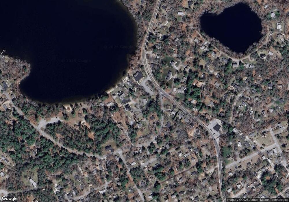
Map
Nearby Homes
- 881 State Rd
- 3 Hiawatha Rd
- 61 Crescent Ave
- 11 April Way
- 32 Ray Rd
- 115 Andrews Way
- 84 Bartlett Rd
- 39 Miter Dr Unit 8-1
- 24 Drum Dr Unit 24
- 22 Presidents Ln
- 90 Miter Dr Unit 1-3
- 91 Miter Dr Unit 18-1
- The Hickory Plan at Alden's Reach - Attached & Detached Single Family Homes
- 91 Miter Dr Unit 3-2
- The Spruce Plan at Alden's Reach - Attached & Detached Single Family Homes
- The Pine Plan at Alden's Reach - Attached & Detached Single Family Homes
- 91 Miter Dr Unit 25-2
- 91 Miter Dr Unit 18-2
- 91 Miter Dr Unit 16-3
- The Oak Plan at Alden's Reach - Attached & Detached Single Family Homes
- 18 Chapman Ln
- 19 Chapman Ln
- 7 Chapman Ln
- 949 State Rd Unit 206
- 949 State Rd Unit 203
- 949 State Rd Unit 202
- 949 State Rd Unit 105
- 949 State Rd Unit 5-9
- 949 State Rd Unit 305
- 949 State Rd Unit 205
- 949 State Rd
- 949 State Rd Unit 101
- 949 State Rd Unit 103
- 949 State Rd Unit 204
- 949 State Rd Unit 306
- 949 State Rd Unit 104
- 949 State Rd Unit 304
- 949 State Rd Unit 201
- 949 State Rd Unit 301
- 949 State Rd Unit 303