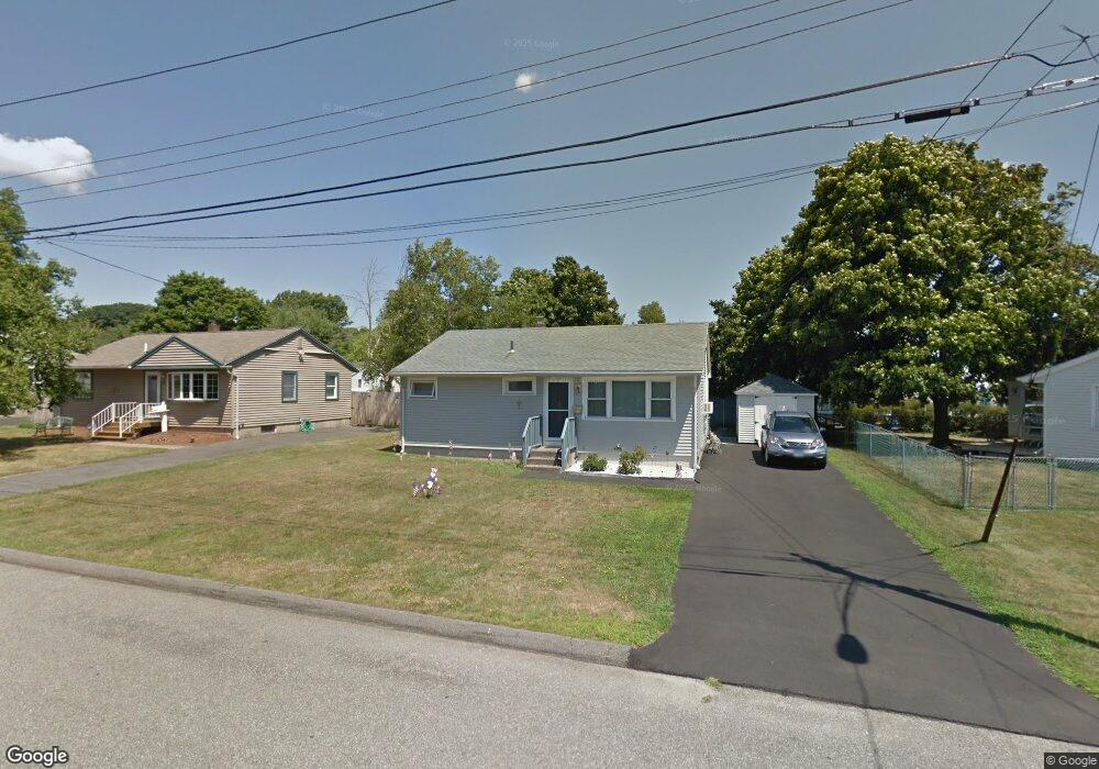
15 Check Point Ln West Haven, CT 06516
West Shore NeighborhoodEstimated Value: $261,000 - $354,000
3
Beds
1
Bath
875
Sq Ft
$373/Sq Ft
Est. Value
About This Home
This home is located at 15 Check Point Ln, West Haven, CT 06516 and is currently estimated at $326,787, approximately $373 per square foot. 15 Check Point Ln is a home located in New Haven County with nearby schools including Carrigan 5/6 Intermediate School, Harry M. Bailey Middle School, and West Haven High School.
Ownership History
Date
Name
Owned For
Owner Type
Purchase Details
Closed on
Jun 6, 1997
Sold by
Dwyer Raymond J Est and Gates
Bought by
Mcmahon James B and Leigh Toni J
Current Estimated Value
Home Financials for this Owner
Home Financials are based on the most recent Mortgage that was taken out on this home.
Original Mortgage
$74,962
Interest Rate
7.98%
Mortgage Type
Purchase Money Mortgage
Create a Home Valuation Report for This Property
The Home Valuation Report is an in-depth analysis detailing your home's value as well as a comparison with similar homes in the area
Home Values in the Area
Average Home Value in this Area
Purchase History
| Date | Buyer | Sale Price | Title Company |
|---|---|---|---|
| Mcmahon James B | $75,000 | -- | |
| Mcmahon James B | $75,000 | -- |
Source: Public Records
Mortgage History
| Date | Status | Borrower | Loan Amount |
|---|---|---|---|
| Open | Mcmahon James B | $99,700 | |
| Closed | Mcmahon James B | $74,962 |
Source: Public Records
Tax History Compared to Growth
Tax History
| Year | Tax Paid | Tax Assessment Tax Assessment Total Assessment is a certain percentage of the fair market value that is determined by local assessors to be the total taxable value of land and additions on the property. | Land | Improvement |
|---|---|---|---|---|
| 2025 | $6,590 | $200,480 | $82,320 | $118,160 |
| 2024 | $5,727 | $122,220 | $56,980 | $65,240 |
| 2023 | $5,512 | $122,220 | $56,980 | $65,240 |
| 2022 | $5,413 | $122,220 | $56,980 | $65,240 |
| 2021 | $5,413 | $122,220 | $56,980 | $65,240 |
| 2020 | $5,346 | $109,970 | $52,150 | $57,820 |
| 2019 | $5,175 | $109,970 | $52,150 | $57,820 |
| 2018 | $5,102 | $109,970 | $52,150 | $57,820 |
| 2017 | $4,964 | $109,970 | $52,150 | $57,820 |
| 2016 | $4,909 | $109,970 | $52,150 | $57,820 |
| 2015 | $4,430 | $111,090 | $57,540 | $53,550 |
| 2014 | $4,430 | $111,090 | $57,540 | $53,550 |
Source: Public Records
Map
Nearby Homes
- 19 Check Point Ln
- 5 Check Point Ln
- 141 Skyline Dr
- 149 Skyline Dr
- 23 Check Point Ln
- 137 Skyline Dr
- 14 Check Point Ln
- 20 Check Point Ln
- 6 Check Point Ln
- 131 Skyline Dr
- 29 Check Point Ln
- 24 Check Point Ln
- 15 Fair Sailing Rd
- 21 Fair Sailing Rd
- 127 Skyline Dr
- 157 Skyline Dr
- 25 Fair Sailing Rd
- 15 Easy Rudder Ln
- 150 Skyline Dr
- 30 Check Point Ln