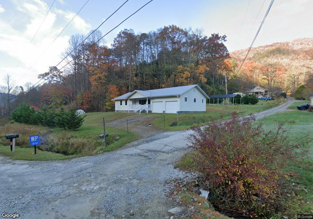
15 Cherokee Ave Andrews, NC 28901
Estimated Value: $275,000 - $387,000
3
Beds
2
Baths
1,474
Sq Ft
$215/Sq Ft
Est. Value
About This Home
This home is located at 15 Cherokee Ave, Andrews, NC 28901 and is currently estimated at $316,240, approximately $214 per square foot. 15 Cherokee Ave is a home located in Cherokee County with nearby schools including Andrews Elementary School, Andrews Middle School, and Andrews High School.
Ownership History
Date
Name
Owned For
Owner Type
Purchase Details
Closed on
Dec 20, 2023
Sold by
Bentley Christopher and Bentley Amy
Bought by
Sanchez Eleovalys Parra and Oliu Stephanie Marie
Current Estimated Value
Home Financials for this Owner
Home Financials are based on the most recent Mortgage that was taken out on this home.
Original Mortgage
$287,693
Outstanding Balance
$282,918
Interest Rate
7.5%
Mortgage Type
FHA
Estimated Equity
$33,322
Purchase Details
Closed on
Sep 23, 2021
Sold by
Nelson Earl June and Stricker Marguerite E
Bought by
Bentley Christopher and Weidenfeller Amy
Purchase Details
Closed on
Apr 1, 2000
Bought by
Nelson Earl J and Nelson Peggy
Create a Home Valuation Report for This Property
The Home Valuation Report is an in-depth analysis detailing your home's value as well as a comparison with similar homes in the area
Home Values in the Area
Average Home Value in this Area
Purchase History
| Date | Buyer | Sale Price | Title Company |
|---|---|---|---|
| Sanchez Eleovalys Parra | $293,000 | None Listed On Document | |
| Bentley Christopher | $180,000 | None Listed On Document | |
| Nelson Earl J | $90,000 | -- |
Source: Public Records
Mortgage History
| Date | Status | Borrower | Loan Amount |
|---|---|---|---|
| Open | Sanchez Eleovalys Parra | $287,693 |
Source: Public Records
Tax History Compared to Growth
Tax History
| Year | Tax Paid | Tax Assessment Tax Assessment Total Assessment is a certain percentage of the fair market value that is determined by local assessors to be the total taxable value of land and additions on the property. | Land | Improvement |
|---|---|---|---|---|
| 2025 | $1,334 | $175,370 | $0 | $0 |
| 2024 | $1,334 | $175,370 | $0 | $0 |
| 2023 | $1,314 | $175,370 | $0 | $0 |
| 2022 | $1,314 | $175,370 | $0 | $0 |
| 2021 | $0 | $148,940 | $10,000 | $138,940 |
| 2020 | $916 | $148,940 | $0 | $0 |
| 2019 | $889 | $127,670 | $0 | $0 |
| 2018 | $889 | $127,670 | $0 | $0 |
| 2017 | $889 | $127,670 | $0 | $0 |
| 2016 | $889 | $127,670 | $0 | $0 |
| 2015 | $889 | $127,670 | $11,400 | $116,270 |
| 2012 | -- | $127,670 | $11,400 | $116,270 |
Source: Public Records
Map
Nearby Homes
- 34 Kadie Ln
- 119 Rhododenron
- 00 Noon Day Sun Ridge
- 1050 U S 19
- 826 Noon Day Sun Ridge
- 00
- 00 Deer Run - Lot 25
- 00
- 00 Deer Run - Lot 27
- 00
- 6200 Tallulah Rd
- 21804 U S 19
- 4.90 Wayah Road (Hwy 1310)
- 804 Ledbetter Rd
- 606 Nantahala Acres Rd
- 1593 Anthony Branch Rd
- 4 Moms Falls Rd
- Lot 19 Preserve Valley Rd
- Lot 17 Black Bear Trail
- 386 Preserve Valley Rd
- 30 Cherokee Ave
- 56 Cherokee
- 59 Cherokee Ave
- 24181 U S 19
- 24181 U S 19
- 61 Topton Rd
- 77 Cherokee Ave
- 84 Cherokee Ave
- 7 Campbell Terrace
- 95 Cherokee Ave
- TBD Mystic River Village Way
- TBD Mystic River Village Way Unit V1A
- 208 Mystic Way
- 208 Mystic Way Unit V21
- V21 Mystic Way
- 107 Cherokee Ave
- 26 Kadie Ln
- 71 Campbell Terrace
- 54 Mystic Way
- 54 Mystic Way Unit V28