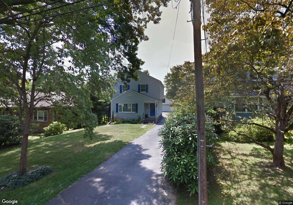
15 Chestnut St Darien, CT 06820
Estimated Value: $1,353,000 - $1,465,000
3
Beds
3
Baths
1,864
Sq Ft
$750/Sq Ft
Est. Value
About This Home
This home is located at 15 Chestnut St, Darien, CT 06820 and is currently estimated at $1,398,885, approximately $750 per square foot. 15 Chestnut St is a home located in Fairfield County with nearby schools including Royle Elementary School, Middlesex Middle School, and Darien High School.
Ownership History
Date
Name
Owned For
Owner Type
Purchase Details
Closed on
Aug 6, 2001
Sold by
Dunn Kevin M
Bought by
Molwitz Henry R and Hughes Candice M
Current Estimated Value
Home Financials for this Owner
Home Financials are based on the most recent Mortgage that was taken out on this home.
Original Mortgage
$250,000
Interest Rate
7.14%
Create a Home Valuation Report for This Property
The Home Valuation Report is an in-depth analysis detailing your home's value as well as a comparison with similar homes in the area
Home Values in the Area
Average Home Value in this Area
Purchase History
| Date | Buyer | Sale Price | Title Company |
|---|---|---|---|
| Molwitz Henry R | $545,000 | -- |
Source: Public Records
Mortgage History
| Date | Status | Borrower | Loan Amount |
|---|---|---|---|
| Closed | Molwitz Henry R | $244,800 | |
| Closed | Molwitz Henry R | $250,000 |
Source: Public Records
Tax History
| Year | Tax Paid | Tax Assessment Tax Assessment Total Assessment is a certain percentage of the fair market value that is determined by local assessors to be the total taxable value of land and additions on the property. | Land | Improvement |
|---|---|---|---|---|
| 2025 | $9,900 | $639,520 | $397,180 | $242,340 |
| 2024 | $9,395 | $639,520 | $397,180 | $242,340 |
| 2023 | $9,769 | $554,750 | $378,280 | $176,470 |
| 2022 | $9,558 | $554,750 | $378,280 | $176,470 |
| 2021 | $9,342 | $554,750 | $378,280 | $176,470 |
| 2020 | $12,739 | $554,750 | $378,280 | $176,470 |
| 2019 | $9,137 | $554,750 | $378,280 | $176,470 |
| 2018 | $8,227 | $511,630 | $312,340 | $199,290 |
| 2017 | $8,268 | $511,630 | $312,340 | $199,290 |
| 2016 | $8,068 | $511,630 | $312,340 | $199,290 |
| 2015 | $7,854 | $511,630 | $312,340 | $199,290 |
| 2014 | $7,680 | $511,630 | $312,340 | $199,290 |
Source: Public Records
Map
Nearby Homes
- 17 Chestnut St
- 13 Chestnut St
- 19 Chestnut St
- 19 Chestnut St Unit RIGHT
- 19 Chestnut St Unit B
- 19 Chestnut St Unit A
- 11 Chestnut St
- 21 Chestnut St
- 27 Chestnut St
- 23 Chestnut St
- 14 Elm St
- 14 Chestnut St
- 14 Chestnut St Unit A
- 14 Chestnut St Unit 2
- 16 Elm St
- 12 Elm St
- 18 Elm St
- 16 Chestnut St
- 5 Chestnut St
- 18 Chestnut St
Your Personal Tour Guide
Ask me questions while you tour the home.