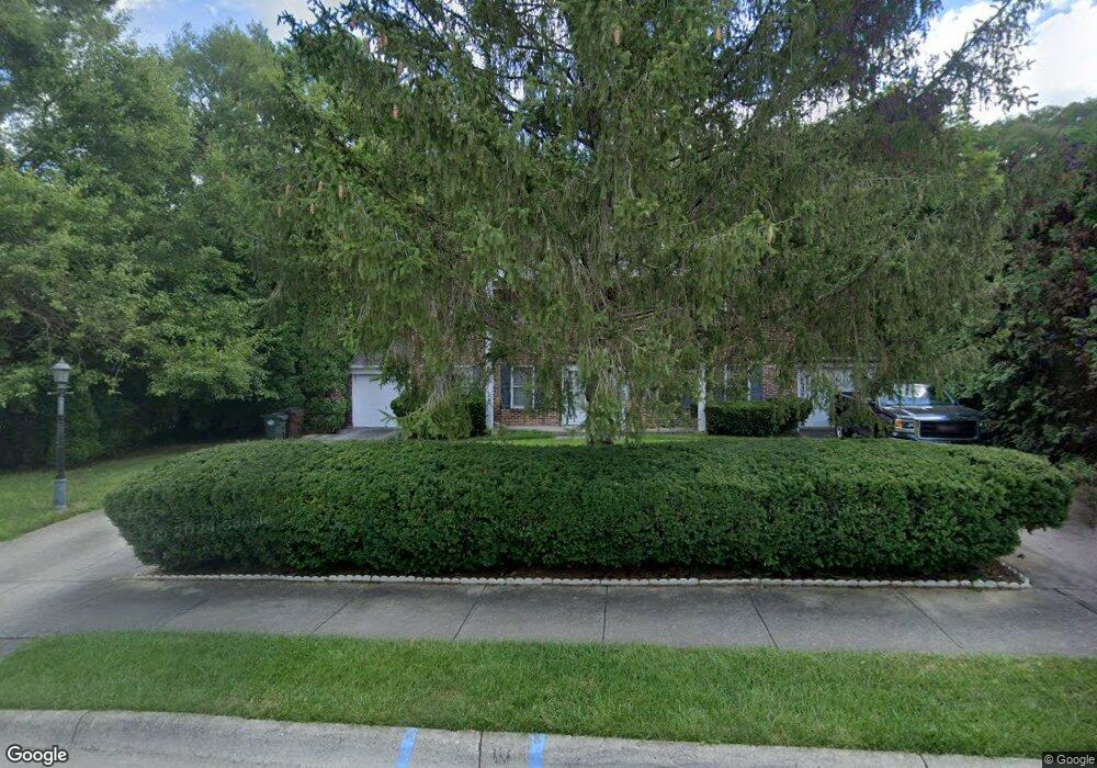
15 Christopher Dr Oxford, OH 45056
Estimated Value: $289,000 - $397,000
6
Beds
4
Baths
2,610
Sq Ft
$130/Sq Ft
Est. Value
About This Home
This home is located at 15 Christopher Dr, Oxford, OH 45056 and is currently estimated at $339,507, approximately $130 per square foot. 15 Christopher Dr is a home located in Butler County with nearby schools including Talawanda Middle School, Talawanda High School, and Mcguffey Montessori School.
Ownership History
Date
Name
Owned For
Owner Type
Purchase Details
Closed on
Jun 3, 2022
Sold by
Amarantos Andrew T and Amarantos Ginger L
Bought by
Amarantos Family Trust
Current Estimated Value
Purchase Details
Closed on
Aug 7, 1998
Sold by
Clark Matthew M and Clark Melanie H
Bought by
Amarantos Andrew T
Home Financials for this Owner
Home Financials are based on the most recent Mortgage that was taken out on this home.
Original Mortgage
$165,000
Interest Rate
7.12%
Mortgage Type
Purchase Money Mortgage
Purchase Details
Closed on
Mar 6, 1997
Sold by
Weichelt Roberta R
Bought by
Clark Matthew M and Clark Melanie
Home Financials for this Owner
Home Financials are based on the most recent Mortgage that was taken out on this home.
Original Mortgage
$109,300
Interest Rate
7.93%
Mortgage Type
New Conventional
Create a Home Valuation Report for This Property
The Home Valuation Report is an in-depth analysis detailing your home's value as well as a comparison with similar homes in the area
Home Values in the Area
Average Home Value in this Area
Purchase History
| Date | Buyer | Sale Price | Title Company |
|---|---|---|---|
| Amarantos Family Trust | -- | -- | |
| Amarantos Andrew T | $165,000 | -- | |
| Clark Matthew M | $125,250 | -- |
Source: Public Records
Mortgage History
| Date | Status | Borrower | Loan Amount |
|---|---|---|---|
| Previous Owner | Amarantos Andrew T | $165,000 | |
| Previous Owner | Clark Matthew M | $109,300 |
Source: Public Records
Tax History Compared to Growth
Tax History
| Year | Tax Paid | Tax Assessment Tax Assessment Total Assessment is a certain percentage of the fair market value that is determined by local assessors to be the total taxable value of land and additions on the property. | Land | Improvement |
|---|---|---|---|---|
| 2024 | $2,956 | $78,200 | $17,590 | $60,610 |
| 2023 | $2,839 | $78,200 | $17,590 | $60,610 |
| 2022 | $2,669 | $66,970 | $17,590 | $49,380 |
| 2021 | $2,541 | $66,970 | $17,590 | $49,380 |
| 2020 | $2,657 | $66,970 | $17,590 | $49,380 |
| 2019 | $4,064 | $53,800 | $17,330 | $36,470 |
| 2018 | $2,251 | $53,800 | $17,330 | $36,470 |
| 2017 | $2,028 | $53,800 | $17,330 | $36,470 |
| 2016 | $2,096 | $53,800 | $17,330 | $36,470 |
| 2015 | $2,133 | $53,800 | $17,330 | $36,470 |
| 2014 | $2,866 | $53,800 | $17,330 | $36,470 |
| 2013 | $2,866 | $71,000 | $17,330 | $53,670 |
Source: Public Records
Map
Nearby Homes
- 435 Lincoln Ave
- 126 Northridge Dr Unit 126
- 136 N Ridge Dr
- 138 N Ridge Dr
- 317 N Beech St
- 115 W Sycamore St
- 327 N College Ave
- 108 W Vine St
- 215 N College Ave
- 843 Dufour Ln
- 5706 Forest Ridge Dr
- 5280 Hester Rd
- 230 W Collins St
- 5400 Hester Rd
- 5700 Forest Ridge Dr
- 6200 Hester Rd
- 5115 Bonham Rd
- 107 Melanee Dr
- 5285 College Corner Pike
- 6101 Contreras Rd