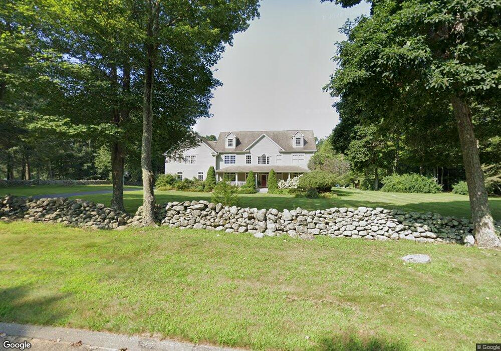
15 Clarkson Rd Killingworth, CT 06419
Estimated Value: $993,000 - $1,611,000
6
Beds
5
Baths
4,485
Sq Ft
$301/Sq Ft
Est. Value
About This Home
This home is located at 15 Clarkson Rd, Killingworth, CT 06419 and is currently estimated at $1,347,962, approximately $300 per square foot. 15 Clarkson Rd is a home located in Middlesex County with nearby schools including Haddam-Killingworth High School and Haddam-Killingworth Intermediate School.
Ownership History
Date
Name
Owned For
Owner Type
Purchase Details
Closed on
Jul 31, 2018
Sold by
Kops Amy K
Bought by
Peslak Alexander W and Peslak Melody A
Current Estimated Value
Home Financials for this Owner
Home Financials are based on the most recent Mortgage that was taken out on this home.
Original Mortgage
$528,000
Outstanding Balance
$459,548
Interest Rate
4.6%
Mortgage Type
Purchase Money Mortgage
Estimated Equity
$888,414
Create a Home Valuation Report for This Property
The Home Valuation Report is an in-depth analysis detailing your home's value as well as a comparison with similar homes in the area
Home Values in the Area
Average Home Value in this Area
Purchase History
| Date | Buyer | Sale Price | Title Company |
|---|---|---|---|
| Peslak Alexander W | $660,000 | -- |
Source: Public Records
Mortgage History
| Date | Status | Borrower | Loan Amount |
|---|---|---|---|
| Open | Peslak Alexander W | $528,000 | |
| Previous Owner | Peslak Alexander W | $150,000 | |
| Previous Owner | Peslak Alexander W | $685,850 |
Source: Public Records
Tax History Compared to Growth
Tax History
| Year | Tax Paid | Tax Assessment Tax Assessment Total Assessment is a certain percentage of the fair market value that is determined by local assessors to be the total taxable value of land and additions on the property. | Land | Improvement |
|---|---|---|---|---|
| 2025 | $17,543 | $669,060 | $95,200 | $573,860 |
| 2024 | $16,205 | $669,060 | $95,200 | $573,860 |
| 2023 | $15,703 | $669,060 | $95,200 | $573,860 |
| 2022 | $15,536 | $669,060 | $95,200 | $573,860 |
| 2021 | $14,048 | $525,760 | $105,680 | $420,080 |
| 2020 | $14,048 | $525,760 | $105,680 | $420,080 |
| 2019 | $14,443 | $525,760 | $105,680 | $420,080 |
| 2018 | $14,318 | $521,230 | $105,680 | $415,550 |
| 2017 | $14,318 | $521,230 | $105,680 | $415,550 |
| 2016 | $14,988 | $578,910 | $159,080 | $419,830 |
| 2015 | $14,606 | $578,910 | $159,080 | $419,830 |
| 2014 | $14,201 | $578,910 | $159,080 | $419,830 |
Source: Public Records
Map
Nearby Homes
- 179 Route 81
- 37 Titus Coan Rd
- 14 Ely Ln
- 262 Connecticut 81
- 25 Roast Meat Hill Rd
- 8 Linnea Ln
- 115 Hemlock Dr
- 100 N Tower Hill Rd
- 25 Kelseytown Bridge Rd
- 36 Silver Birch Ln
- 180 Green Hill Rd
- 0 Kelseytown Bridge Rd
- 4 Laurel Ln
- 11 Silver Birch Ln
- 14 Kenilworth Dr
- 33 Whitewood Rd
- 10 Whitewood Rd
- 8 Livemore Trail
- 3 Circle Dr
- 11 Pleasant Trail
- 15 Clarkson Ln
- 5 Clarkson Rd
- 10 Clarkson Rd
- 21 Clarkson Ln
- 6 Clarkson Ln
- 1 Clarkson Rd
- 16 Clarkson Rd
- 6 Clarkson Rd
- 22 Clarkson Rd
- 17 Stevens Rd
- 164 Roast Meat Hill Rd
- 19 Stevens Rd
- 147 Roast Meat Hill Rd
- 41 Stevens Rd
- 140 Roast Meat Hill Rd
- 140 Roast Meat Hill Rd
- 33 Stevens Rd
- 177 Roast Meat Hill Rd
- 151 Route 81
- 139 Roast Meat Hill Rd