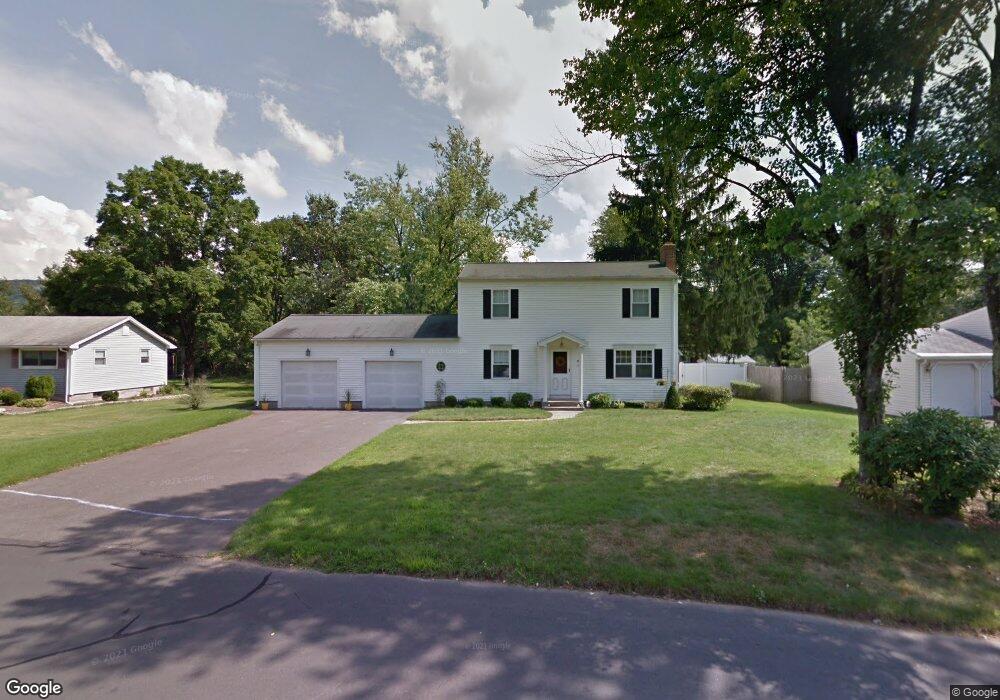
15 Colonial Dr Weatogue, CT 06089
Estimated Value: $431,000 - $506,000
4
Beds
2
Baths
1,650
Sq Ft
$283/Sq Ft
Est. Value
About This Home
This home is located at 15 Colonial Dr, Weatogue, CT 06089 and is currently estimated at $466,534, approximately $282 per square foot. 15 Colonial Dr is a home located in Hartford County with nearby schools including Latimer Lane School, Henry James Memorial School, and Simsbury High School.
Ownership History
Date
Name
Owned For
Owner Type
Purchase Details
Closed on
Jul 1, 2011
Sold by
Cataldo Martha B
Bought by
Agli Elizabeth K
Current Estimated Value
Home Financials for this Owner
Home Financials are based on the most recent Mortgage that was taken out on this home.
Original Mortgage
$216,000
Outstanding Balance
$146,676
Interest Rate
4.62%
Estimated Equity
$319,858
Create a Home Valuation Report for This Property
The Home Valuation Report is an in-depth analysis detailing your home's value as well as a comparison with similar homes in the area
Home Values in the Area
Average Home Value in this Area
Purchase History
| Date | Buyer | Sale Price | Title Company |
|---|---|---|---|
| Agli Elizabeth K | $270,000 | -- |
Source: Public Records
Mortgage History
| Date | Status | Borrower | Loan Amount |
|---|---|---|---|
| Open | Agli Elizabeth K | $216,000 | |
| Previous Owner | Agli Elizabeth K | $48,000 | |
| Previous Owner | Agli Elizabeth K | $25,000 | |
| Previous Owner | Agli Elizabeth K | $70,000 |
Source: Public Records
Tax History
| Year | Tax Paid | Tax Assessment Tax Assessment Total Assessment is a certain percentage of the fair market value that is determined by local assessors to be the total taxable value of land and additions on the property. | Land | Improvement |
|---|---|---|---|---|
| 2025 | $7,386 | $216,230 | $70,070 | $146,160 |
| 2024 | $7,203 | $216,230 | $70,070 | $146,160 |
| 2023 | $6,880 | $216,230 | $70,070 | $146,160 |
| 2022 | $6,238 | $161,470 | $73,590 | $87,880 |
| 2021 | $6,238 | $161,470 | $73,590 | $87,880 |
| 2020 | $5,989 | $161,470 | $73,590 | $87,880 |
| 2019 | $6,026 | $161,470 | $73,590 | $87,880 |
| 2018 | $6,070 | $161,470 | $73,590 | $87,880 |
| 2017 | $5,813 | $149,970 | $73,580 | $76,390 |
| 2016 | $5,567 | $149,970 | $73,580 | $76,390 |
| 2015 | $5,567 | $149,970 | $73,580 | $76,390 |
| 2014 | $5,570 | $149,970 | $73,580 | $76,390 |
Source: Public Records
Map
Nearby Homes
- 24 Valley View Dr
- 126 Hopmeadow St Unit 3H
- 126 Hopmeadow St Unit 8B
- 10 Old Meadow Way
- 28 Park Rd
- 93 Old Meadow Plain Rd
- 64 Pine Glen Rd
- 3 Ronan Way
- 3 Candlewood Ct
- 37 Bantry Rd
- 7 Shaw Dr
- 8 Gargan Place
- 2 Gillette Ct Unit D
- 47 Ashton Cir Unit 47
- 13 Hopmeadow St
- 29 Long View Dr
- 24 Ichabod Rd
- 44 Climax Rd
- 5 Abbottsford Unit 5
- 24 Hendricks Ln
- 17 Colonial Dr
- 13 Colonial Dr
- 19 Colonial Dr
- 18 Colonial Dr
- 16 Colonial Dr
- 12 Kings Rd
- 20 Colonial Dr
- 13 Kings Rd
- 14 Colonial Dr
- 11 Colonial Dr
- 10 Kings Rd
- 24 Mountain View Dr
- 3 Simsbury Manor Dr
- 22 Mountain View Dr
- 12 Colonial Dr
- 7 Simsbury Manor Dr
- 5 Simsbury Manor Dr
- 11 Kings Rd
- 8 Kings Rd
- 7 Kings Rd
Your Personal Tour Guide
Ask me questions while you tour the home.