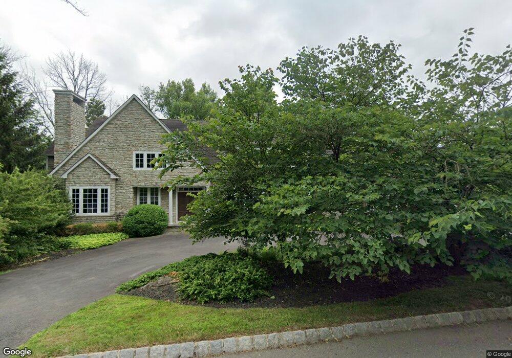
15 Coniston Ct Princeton, NJ 08540
Estimated Value: $2,149,000 - $2,814,000
5
Beds
7
Baths
4,781
Sq Ft
$536/Sq Ft
Est. Value
About This Home
This home is located at 15 Coniston Ct, Princeton, NJ 08540 and is currently estimated at $2,560,626, approximately $535 per square foot. 15 Coniston Ct is a home located in Mercer County with nearby schools including Johnson Park School, Princeton Middle School, and Princeton High School.
Ownership History
Date
Name
Owned For
Owner Type
Purchase Details
Closed on
Nov 24, 2009
Sold by
Davies John Desmond and Davies Susan M
Bought by
Kang Roger J
Current Estimated Value
Purchase Details
Closed on
Nov 22, 1999
Sold by
Pond View Assoc
Bought by
Davies John and Davies Susan
Home Financials for this Owner
Home Financials are based on the most recent Mortgage that was taken out on this home.
Original Mortgage
$650,000
Interest Rate
7.73%
Create a Home Valuation Report for This Property
The Home Valuation Report is an in-depth analysis detailing your home's value as well as a comparison with similar homes in the area
Home Values in the Area
Average Home Value in this Area
Purchase History
| Date | Buyer | Sale Price | Title Company |
|---|---|---|---|
| Kang Roger J | $1,450,000 | None Available | |
| Davies John | $1,323,870 | -- |
Source: Public Records
Mortgage History
| Date | Status | Borrower | Loan Amount |
|---|---|---|---|
| Previous Owner | Davies John | $650,000 |
Source: Public Records
Tax History Compared to Growth
Tax History
| Year | Tax Paid | Tax Assessment Tax Assessment Total Assessment is a certain percentage of the fair market value that is determined by local assessors to be the total taxable value of land and additions on the property. | Land | Improvement |
|---|---|---|---|---|
| 2025 | $35,953 | $1,350,100 | $409,000 | $941,100 |
| 2024 | $33,942 | $1,350,100 | $409,000 | $941,100 |
| 2023 | $33,942 | $1,350,100 | $409,000 | $941,100 |
| 2022 | $32,834 | $1,350,100 | $409,000 | $941,100 |
| 2021 | $32,929 | $1,350,100 | $409,000 | $941,100 |
| 2020 | $32,672 | $1,350,100 | $409,000 | $941,100 |
| 2019 | $32,024 | $1,350,100 | $409,000 | $941,100 |
| 2018 | $31,484 | $1,350,100 | $409,000 | $941,100 |
| 2017 | $31,052 | $1,350,100 | $409,000 | $941,100 |
| 2016 | $30,566 | $1,350,100 | $409,000 | $941,100 |
| 2015 | $29,864 | $1,350,100 | $409,000 | $941,100 |
| 2014 | $29,500 | $1,350,100 | $409,000 | $941,100 |
Source: Public Records
Map
Nearby Homes
- 94 North Rd
- 18 Winfield Rd
- 116 Hunt Dr
- 8 Winfield Rd
- 18 Katies Pond Rd
- 600 Pretty Brook Rd
- 95 Westcott Rd
- 149 Highland Terrace
- 240 Library Place
- 192 Bayard Ln
- 188 Bayard Ln
- 14 Walker Dr
- 1005 Stuart Rd
- 176 Bayard Ln
- 155 Hodge Rd
- 1107 Great Rd
- 536 Rosedale Rd
- 62 Ettl Cir
- 945 Stuart Rd
- 1851 Stuart Rd W
- 19 Coniston Ct
- 14 Coniston Ct
- 11 Coniston Ct
- 26 Coniston Ct
- 18 Coniston Ct
- 23 Coniston Ct
- 22 Coniston Ct
- 81 Pretty Brook Rd
- 132 Pretty Brook Rd
- 115 North Rd
- 590 Great Rd
- 69 Pretty Brook Rd
- 75 North Rd
- 108 North Rd
- 263 Pretty Brook Rd
- 10 Brooks Bend
- 76 North Rd
- 00 North Rd
- 29 Puritan Ct
- 7 Coventry Farm Ln