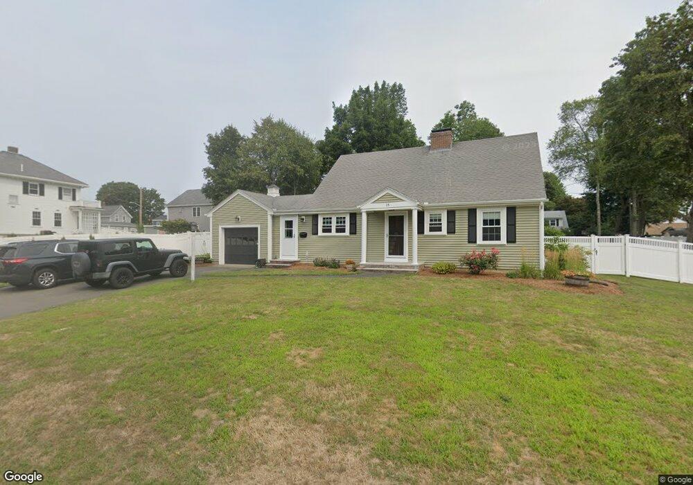
15 Corcoran Rd Brockton, MA 02301
Winters Corner NeighborhoodEstimated Value: $576,000 - $619,000
4
Beds
2
Baths
1,470
Sq Ft
$409/Sq Ft
Est. Value
About This Home
This home is located at 15 Corcoran Rd, Brockton, MA 02301 and is currently estimated at $601,045, approximately $408 per square foot. 15 Corcoran Rd is a home located in Plymouth County with nearby schools including Manthala George Jr. School, Hancock Elementary School, and Louis F Angelo Elementary School.
Ownership History
Date
Name
Owned For
Owner Type
Purchase Details
Closed on
Feb 26, 2010
Sold by
Carroll Nancy L and Woodman Janet E
Bought by
Wilkinson Kathleen and Wilkinson John F
Current Estimated Value
Home Financials for this Owner
Home Financials are based on the most recent Mortgage that was taken out on this home.
Original Mortgage
$221,906
Outstanding Balance
$150,844
Interest Rate
5.5%
Mortgage Type
FHA
Estimated Equity
$450,201
Create a Home Valuation Report for This Property
The Home Valuation Report is an in-depth analysis detailing your home's value as well as a comparison with similar homes in the area
Home Values in the Area
Average Home Value in this Area
Purchase History
| Date | Buyer | Sale Price | Title Company |
|---|---|---|---|
| Wilkinson Kathleen | $226,000 | -- |
Source: Public Records
Mortgage History
| Date | Status | Borrower | Loan Amount |
|---|---|---|---|
| Open | Wilkinson Kathleen | $221,906 |
Source: Public Records
Tax History Compared to Growth
Tax History
| Year | Tax Paid | Tax Assessment Tax Assessment Total Assessment is a certain percentage of the fair market value that is determined by local assessors to be the total taxable value of land and additions on the property. | Land | Improvement |
|---|---|---|---|---|
| 2025 | $6,734 | $556,100 | $161,400 | $394,700 |
| 2024 | $6,285 | $522,900 | $161,400 | $361,500 |
| 2023 | $6,088 | $469,000 | $127,500 | $341,500 |
| 2022 | $5,744 | $411,200 | $116,400 | $294,800 |
| 2021 | $5,045 | $347,900 | $105,400 | $242,500 |
| 2020 | $4,718 | $311,400 | $101,000 | $210,400 |
| 2019 | $4,678 | $301,000 | $93,900 | $207,100 |
| 2018 | $8,825 | $281,600 | $93,900 | $187,700 |
| 2017 | $4,378 | $271,900 | $93,900 | $178,000 |
| 2016 | $4,413 | $254,200 | $90,500 | $163,700 |
| 2015 | $4,559 | $251,200 | $90,500 | $160,700 |
| 2014 | $4,184 | $230,800 | $90,500 | $140,300 |
Source: Public Records
Map
Nearby Homes
- 37 West St
- 28 Fern Ave
- 25 Monson St
- 20 Montauk Rd
- 48 N Belcher Ave
- 21 Oneida Ave
- 17 Moraine Place
- 67 Sycamore Ave Unit 3
- 72 W Elm Terrace
- 161 Moraine St
- 78 Keene St
- 77 Colonel Bell Dr Unit 4
- 45 Briarcliff Rd
- 61 Fairfield St
- 141 Prospect Ave
- 114 Crickett Rd
- 175 Belmont Ave
- 281 Spring St
- 15 Byron Ave
- 190 Highland St