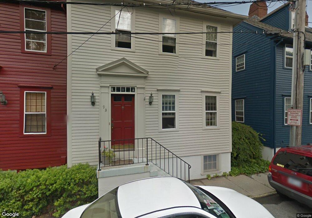
15 Corne St Unit B Newport, RI 02840
Historic Hill NeighborhoodEstimated Value: $1,024,455 - $1,836,000
3
Beds
3
Baths
2,386
Sq Ft
$574/Sq Ft
Est. Value
About This Home
This home is located at 15 Corne St Unit B, Newport, RI 02840 and is currently estimated at $1,369,114, approximately $573 per square foot. 15 Corne St Unit B is a home located in Newport County with nearby schools including Rogers High School, St Michael's Country Day School, and St George's School.
Ownership History
Date
Name
Owned For
Owner Type
Purchase Details
Closed on
Jan 17, 2001
Sold by
Miller Paul and Burns Charles
Bought by
Baldwin W Barton
Current Estimated Value
Purchase Details
Closed on
Jan 28, 2000
Sold by
Oneil William J and Oneil Judith S
Bought by
Burns Charles J and Miller Paul
Home Financials for this Owner
Home Financials are based on the most recent Mortgage that was taken out on this home.
Original Mortgage
$168,000
Interest Rate
7.83%
Create a Home Valuation Report for This Property
The Home Valuation Report is an in-depth analysis detailing your home's value as well as a comparison with similar homes in the area
Home Values in the Area
Average Home Value in this Area
Purchase History
| Date | Buyer | Sale Price | Title Company |
|---|---|---|---|
| Baldwin W Barton | $275,000 | -- | |
| Burns Charles J | $240,000 | -- |
Source: Public Records
Mortgage History
| Date | Status | Borrower | Loan Amount |
|---|---|---|---|
| Previous Owner | Burns Charles J | $168,000 |
Source: Public Records
Tax History Compared to Growth
Tax History
| Year | Tax Paid | Tax Assessment Tax Assessment Total Assessment is a certain percentage of the fair market value that is determined by local assessors to be the total taxable value of land and additions on the property. | Land | Improvement |
|---|---|---|---|---|
| 2025 | $6,015 | $837,800 | $0 | $837,800 |
| 2024 | $5,839 | $837,800 | $0 | $837,800 |
| 2023 | $5,594 | $563,900 | $0 | $563,900 |
| 2022 | $5,419 | $563,900 | $0 | $563,900 |
| 2021 | $5,261 | $563,900 | $0 | $563,900 |
| 2020 | $4,693 | $456,500 | $0 | $456,500 |
| 2019 | $4,693 | $456,500 | $0 | $456,500 |
| 2018 | $4,560 | $456,500 | $0 | $456,500 |
| 2017 | $4,005 | $357,300 | $0 | $357,300 |
| 2016 | $3,905 | $357,300 | $0 | $357,300 |
| 2015 | $3,812 | $357,300 | $0 | $357,300 |
| 2014 | $4,106 | $340,500 | $0 | $340,500 |
Source: Public Records
Map
Nearby Homes
- 75 Pelham St Unit B
- 26 Franklin St
- 50 School St Unit 7
- 130 Spring St Unit 132
- 30 Brewer St Unit 3
- 28 Young St
- 12 Mount Vernon St Unit 5
- 10 Barney St Unit 102
- 10 Barney St Unit 107
- 10 Barney St Unit 101
- 10 Barney St Unit U106
- 8 Cottage St Unit 2
- 24 Old Beach Rd
- 24 Brown and Howard Wharf Unit 301
- 34 Bull St
- 33 Kay St
- 30 S Baptist St
- 1 Pell St
- 27 Soar Way
- 23 Mann Ave Unit 4
- 15 Corne St Unit A
- 15 Corne St Unit 15A
- 93 Mill St Unit A
- 93 Mill St Unit B
- 93 Mill St Unit D-A
- 93 Mill St
- 93 Mill St Unit D-B
- 9 Corne St Unit B
- 9 Corne St Unit A
- 9 Corne St Unit B-B
- 9 Corne St Unit 9B
- 2 Corne St
- 6 Corne St
- 85 Mill St Unit 2
- 85 Mill St
- 12 Corne St
- 80 Pelham St
- 86B Pelham St Unit 86B
- 86 Pelham St Unit B
- 86 Pelham St Unit A