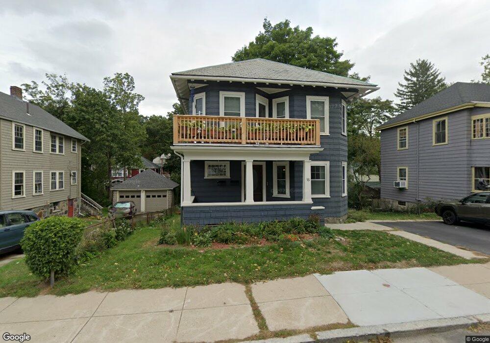
15 Cotton St Unit 17 Roslindale, MA 02131
Roslindale NeighborhoodEstimated Value: $585,238 - $705,000
3
Beds
1
Bath
927
Sq Ft
$680/Sq Ft
Est. Value
About This Home
This home is located at 15 Cotton St Unit 17, Roslindale, MA 02131 and is currently estimated at $630,060, approximately $679 per square foot. 15 Cotton St Unit 17 is a home located in Suffolk County with nearby schools including Brooke Charter School Roslindale, Holy Name Parish School, and The Croft School - Jamaica Plain.
Ownership History
Date
Name
Owned For
Owner Type
Purchase Details
Closed on
Jul 23, 2004
Sold by
Barrow Amanda M and Celements Carl J
Bought by
Sincavage Mary J
Current Estimated Value
Home Financials for this Owner
Home Financials are based on the most recent Mortgage that was taken out on this home.
Original Mortgage
$42,600
Interest Rate
6.28%
Mortgage Type
Purchase Money Mortgage
Create a Home Valuation Report for This Property
The Home Valuation Report is an in-depth analysis detailing your home's value as well as a comparison with similar homes in the area
Home Values in the Area
Average Home Value in this Area
Purchase History
| Date | Buyer | Sale Price | Title Company |
|---|---|---|---|
| Sincavage Mary J | $338,000 | -- |
Source: Public Records
Mortgage History
| Date | Status | Borrower | Loan Amount |
|---|---|---|---|
| Open | Sincavage Mary J | $238,000 | |
| Closed | Sincavage Mary J | $42,600 |
Source: Public Records
Tax History Compared to Growth
Tax History
| Year | Tax Paid | Tax Assessment Tax Assessment Total Assessment is a certain percentage of the fair market value that is determined by local assessors to be the total taxable value of land and additions on the property. | Land | Improvement |
|---|---|---|---|---|
| 2025 | $5,473 | $472,600 | $0 | $472,600 |
| 2024 | $4,659 | $427,400 | $0 | $427,400 |
| 2023 | $4,500 | $419,000 | $0 | $419,000 |
| 2022 | $4,262 | $391,700 | $0 | $391,700 |
| 2021 | $4,097 | $384,000 | $0 | $384,000 |
| 2020 | $3,293 | $311,800 | $0 | $311,800 |
| 2019 | $3,155 | $299,300 | $0 | $299,300 |
| 2018 | $2,823 | $269,400 | $0 | $269,400 |
| 2017 | $2,924 | $276,100 | $0 | $276,100 |
| 2016 | $2,640 | $240,000 | $0 | $240,000 |
| 2015 | $2,663 | $219,900 | $0 | $219,900 |
| 2014 | $2,569 | $204,200 | $0 | $204,200 |
Source: Public Records
Map
Nearby Homes
- 46 Cotton St Unit 46
- 2 Weld Hill St Unit 301
- 2 Weld Hill St Unit PH2
- 2 Weld Hill St Unit 302
- 20 Taft Hill Park Unit 5
- 620 South St
- 74 Selwyn St Unit 2
- 22 Walter St Unit 2
- 27 Sheffield Rd Unit 3
- 57 Ardale St
- 15 S Fairview St Unit 3
- 21 Bexley Rd
- 79 Robert St Unit 3
- 18 Robert St Unit 14
- 18 Robert St Unit 4
- 38 Hazelmere Rd
- 87 Knoll St
- 127 Selwyn St
- 46 Belgrade Ave Unit 2
- 108 Florence St Unit 1
- 15 Cotton St Unit 17
- 15 Cotton St Unit 2
- 19 Cotton St Unit 21
- 11 Cotton St
- 25 Cotton St
- 8 Mendum St
- 14 Mendum St
- 16 Cotton St
- 12 Cotton St
- 6 Mendum St Unit 2
- 6 Mendum St Unit 1
- 20 Cotton St
- 50 Fairview St
- 8 Cotton St Unit 2
- 8 Cotton St Unit 1
- 27 Cotton St
- 27 Cotton St Unit 2
- 27 Cotton St Unit 1
- 4 Mendum St
- 18 Mendum St