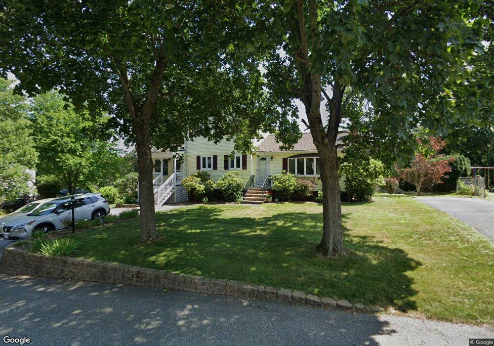
15 Crest Ave Wilmington, MA 01887
Estimated Value: $643,000 - $785,000
4
Beds
2
Baths
1,704
Sq Ft
$424/Sq Ft
Est. Value
About This Home
This home is located at 15 Crest Ave, Wilmington, MA 01887 and is currently estimated at $723,192, approximately $424 per square foot. 15 Crest Ave is a home located in Middlesex County with nearby schools including Wilmington Middle School, Wilmington High School, and Austin Preparatory School.
Ownership History
Date
Name
Owned For
Owner Type
Purchase Details
Closed on
Apr 16, 2014
Sold by
Smith George K and Smith Donna C
Bought by
Smith Ft and Smith
Current Estimated Value
Purchase Details
Closed on
Apr 26, 2000
Sold by
Constabile Cheryl A
Bought by
Diperri Lisa A
Create a Home Valuation Report for This Property
The Home Valuation Report is an in-depth analysis detailing your home's value as well as a comparison with similar homes in the area
Home Values in the Area
Average Home Value in this Area
Purchase History
| Date | Buyer | Sale Price | Title Company |
|---|---|---|---|
| Smith Ft | -- | -- | |
| Smith Ft | -- | -- | |
| Diperri Lisa A | $206,000 | -- | |
| Diperri Lisa A | $206,000 | -- |
Source: Public Records
Mortgage History
| Date | Status | Borrower | Loan Amount |
|---|---|---|---|
| Previous Owner | Diperri Lisa A | $120,000 |
Source: Public Records
Tax History Compared to Growth
Tax History
| Year | Tax Paid | Tax Assessment Tax Assessment Total Assessment is a certain percentage of the fair market value that is determined by local assessors to be the total taxable value of land and additions on the property. | Land | Improvement |
|---|---|---|---|---|
| 2025 | $7,825 | $683,400 | $272,500 | $410,900 |
| 2024 | $7,624 | $667,000 | $272,500 | $394,500 |
| 2023 | $7,067 | $591,900 | $247,700 | $344,200 |
| 2022 | $6,813 | $522,900 | $206,400 | $316,500 |
| 2021 | $6,818 | $492,600 | $187,600 | $305,000 |
| 2020 | $6,433 | $473,700 | $187,600 | $286,100 |
| 2019 | $5,778 | $420,200 | $178,700 | $241,500 |
| 2018 | $5,777 | $400,900 | $170,200 | $230,700 |
| 2017 | $5,793 | $400,900 | $162,100 | $238,800 |
| 2016 | $5,649 | $386,100 | $154,400 | $231,700 |
| 2015 | $5,190 | $361,200 | $154,400 | $206,800 |
| 2014 | $4,844 | $340,200 | $147,000 | $193,200 |
Source: Public Records
Map
Nearby Homes
- 3 Strout Ave
- 203 Lowell St Unit 119
- 203 Lowell St Unit 115
- 203 Lowell St Unit 220
- 203 Lowell St Unit 103
- 452 Lowell St
- 3 Bradford Rd
- 1 March Rd
- 5 Morse Ave
- 33 Marla Ln
- 2 Inwood Dr Unit 1010
- 99 Grove St
- 28 Martin Rd
- 25 Martin Rd
- 17 Molloy Rd
- 5 Flynn Way
- 61 Lowell St
- 149 Forest St
- 7 Cross St Unit 306
- 7 Cross St Unit 304