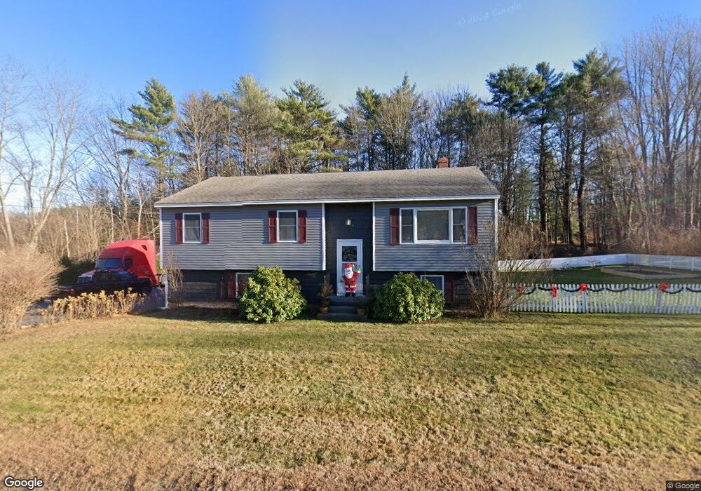
15 Cumberland Ave Saco, ME 04072
Central Saco NeighborhoodEstimated Value: $434,000 - $472,143
3
Beds
1
Bath
1,298
Sq Ft
$352/Sq Ft
Est. Value
About This Home
This home is located at 15 Cumberland Ave, Saco, ME 04072 and is currently estimated at $457,286, approximately $352 per square foot. 15 Cumberland Ave is a home located in York County with nearby schools including C K Burns School, Saco Middle School, and Florence Lombard Christian School.
Ownership History
Date
Name
Owned For
Owner Type
Purchase Details
Closed on
Aug 10, 2006
Sold by
Donovan Leanne
Bought by
Winslow Edward A and Garcia Marilou J
Current Estimated Value
Home Financials for this Owner
Home Financials are based on the most recent Mortgage that was taken out on this home.
Original Mortgage
$1,784,000
Outstanding Balance
$1,062,285
Interest Rate
6.8%
Mortgage Type
Purchase Money Mortgage
Estimated Equity
-$604,999
Create a Home Valuation Report for This Property
The Home Valuation Report is an in-depth analysis detailing your home's value as well as a comparison with similar homes in the area
Home Values in the Area
Average Home Value in this Area
Purchase History
| Date | Buyer | Sale Price | Title Company |
|---|---|---|---|
| Winslow Edward A | -- | -- |
Source: Public Records
Mortgage History
| Date | Status | Borrower | Loan Amount |
|---|---|---|---|
| Open | Winslow Edward A | $1,784,000 | |
| Closed | Winslow Edward A | $334,000 |
Source: Public Records
Tax History Compared to Growth
Tax History
| Year | Tax Paid | Tax Assessment Tax Assessment Total Assessment is a certain percentage of the fair market value that is determined by local assessors to be the total taxable value of land and additions on the property. | Land | Improvement |
|---|---|---|---|---|
| 2024 | $5,036 | $358,400 | $122,700 | $235,700 |
| 2023 | $5,286 | $358,400 | $122,700 | $235,700 |
| 2022 | $4,705 | $256,700 | $93,400 | $163,300 |
| 2021 | $4,561 | $241,600 | $83,400 | $158,200 |
| 2020 | $4,290 | $218,100 | $73,400 | $144,700 |
| 2019 | $4,227 | $218,100 | $73,400 | $144,700 |
| 2018 | $4,099 | $211,500 | $66,800 | $144,700 |
| 2017 | $4,066 | $209,800 | $66,800 | $143,000 |
| 2016 | $3,624 | $186,600 | $58,900 | $127,700 |
| 2015 | $3,556 | $185,000 | $58,900 | $126,100 |
| 2014 | $3,445 | $185,000 | $58,900 | $126,100 |
| 2013 | $3,437 | $185,000 | $58,900 | $126,100 |
Source: Public Records
Map
Nearby Homes
- 16 Heritage Way Unit 17
- 18 Heritage Way Unit 14
- 8 Heritage Way Unit 15
- 8 Heritage Way Unit 21
- 36 Lafayette St
- 61 Ocean Park Rd Unit 11
- 15 Lafayette St
- 15 Lucille St
- 50 Ocean Park Rd Unit 101
- 29 Old Orchard Rd Unit 10
- 5 Academy Place Unit 57
- 162 Beach St Unit 10
- 4 Mainsail Ln Unit 4
- 22 Ocean Park Rd Unit 133
- 22 Ocean Park Rd Unit 136
- 11 Louise St
- 2 Breakwater Way Unit 2
- 1 Pine Ridge Rd
- 372 Main St Unit 201
- 11 Smithwheel Rd Unit 15
- 11 Cumberland Ave
- 18 Cumberland Ave
- 10 Cumberland Ave
- 9 Cumberland Ave
- 49 Wood Ave
- 8 Cumberland Ave
- 7 Cumberland Ave
- 43 Wood Ave
- 48 Wood Ave
- 5 Cumberland Ave
- 3 Delputt Ln
- 6 Cumberland Ave
- 37 Wood Ave
- 24 Lillian Ave
- 40 Wood Ave
- 65 Washington Ave
- 20 Lillian Ave
- 33 Wood Ave
- 1 Delputt Ln
- L 101 Washington Ave