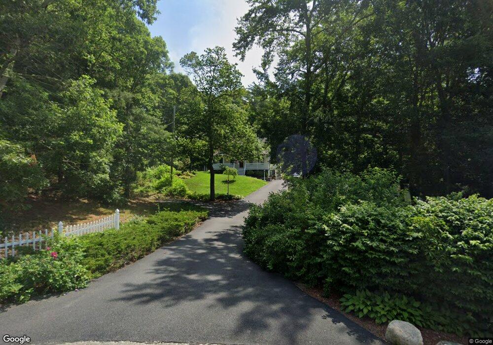
15 Cypress St Bourne, MA 2532
Buzzards Bay NeighborhoodEstimated Value: $540,000 - $611,667
3
Beds
2
Baths
1,428
Sq Ft
$414/Sq Ft
Est. Value
About This Home
This home is located at 15 Cypress St, Bourne, MA 2532 and is currently estimated at $591,667, approximately $414 per square foot. 15 Cypress St is a home located in Barnstable County with nearby schools including Bourne High School and St Margaret Regional School.
Ownership History
Date
Name
Owned For
Owner Type
Purchase Details
Closed on
Feb 25, 1998
Sold by
Gendron Edwin V and Gendron Mary L
Bought by
Rogers Paul M
Current Estimated Value
Purchase Details
Closed on
Dec 19, 1997
Sold by
Gendron Edwin V and Gendron Mary L
Bought by
Rogers Paul M
Purchase Details
Closed on
Oct 16, 1996
Sold by
Ditalia John J
Bought by
Gendron Edwin and Gendron Mary L
Purchase Details
Closed on
Jul 11, 1991
Sold by
Ruth M Est Henshaw
Bought by
Spliid Camilla
Create a Home Valuation Report for This Property
The Home Valuation Report is an in-depth analysis detailing your home's value as well as a comparison with similar homes in the area
Home Values in the Area
Average Home Value in this Area
Purchase History
| Date | Buyer | Sale Price | Title Company |
|---|---|---|---|
| Rogers Paul M | $134,000 | -- | |
| Rogers Paul M | $134,000 | -- | |
| Gendron Edwin | $90,000 | -- | |
| Spliid Camilla | $26,800 | -- | |
| Rogers Paul M | $134,000 | -- | |
| Rogers Paul M | $134,000 | -- | |
| Gendron Edwin V | $90,000 | -- | |
| Spliid Camilla | $26,800 | -- |
Source: Public Records
Mortgage History
| Date | Status | Borrower | Loan Amount |
|---|---|---|---|
| Open | Spliid Camilla | $98,000 | |
| Closed | Spliid Camilla | $86,700 |
Source: Public Records
Tax History Compared to Growth
Tax History
| Year | Tax Paid | Tax Assessment Tax Assessment Total Assessment is a certain percentage of the fair market value that is determined by local assessors to be the total taxable value of land and additions on the property. | Land | Improvement |
|---|---|---|---|---|
| 2025 | $4,265 | $546,100 | $252,600 | $293,500 |
| 2024 | $4,198 | $523,400 | $240,600 | $282,800 |
| 2023 | $4,107 | $466,200 | $212,900 | $253,300 |
| 2022 | $3,727 | $369,400 | $188,400 | $181,000 |
| 2021 | $3,643 | $338,300 | $171,400 | $166,900 |
| 2020 | $3,473 | $323,400 | $169,800 | $153,600 |
| 2019 | $3,326 | $316,500 | $169,800 | $146,700 |
| 2018 | $3,178 | $301,500 | $161,700 | $139,800 |
| 2017 | $3,076 | $298,600 | $160,200 | $138,400 |
| 2016 | $3,000 | $295,300 | $160,200 | $135,100 |
| 2015 | $2,974 | $295,300 | $160,200 | $135,100 |
Source: Public Records
Map
Nearby Homes
- 162 Puritan Rd
- 17 Maple St
- 4 Finch Ln
- 171 Puritan Rd
- 304 Main St
- 4 Knob Ln
- 41 Lewis Point Rd
- 0 Lewis Point Rd
- 38 Old Bridge Rd
- 65 Lewis Point Rd
- 46 Holt Rd
- 46 Holt Rd Unit A
- 73 Lewis Point Rd
- 151 - 153 Main St
- 90-92 Sandwich Rd Unit 9C
- 34 Washington Ave
- 3 Wolf Rd
- 60 Sandwich Rd
- 16 Washington Ave
- 23 Settlers Way