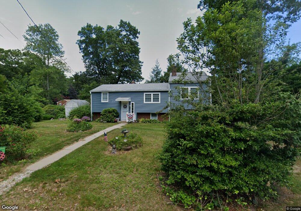
15 Doris Rd Halifax, MA 02338
Estimated Value: $449,000 - $532,000
2
Beds
2
Baths
1,507
Sq Ft
$321/Sq Ft
Est. Value
About This Home
This home is located at 15 Doris Rd, Halifax, MA 02338 and is currently estimated at $483,030, approximately $320 per square foot. 15 Doris Rd is a home located in Plymouth County with nearby schools including Silver Lake Regional High School, Halifax Elementary School, and Silver Lake Regional Middle School.
Ownership History
Date
Name
Owned For
Owner Type
Purchase Details
Closed on
Oct 20, 2022
Sold by
Redding Kathleen V
Bought by
Kathleen V Redding Lt
Current Estimated Value
Purchase Details
Closed on
Dec 23, 1971
Bought by
Redding Richard L and Redding Kathleen
Create a Home Valuation Report for This Property
The Home Valuation Report is an in-depth analysis detailing your home's value as well as a comparison with similar homes in the area
Home Values in the Area
Average Home Value in this Area
Purchase History
| Date | Buyer | Sale Price | Title Company |
|---|---|---|---|
| Kathleen V Redding Lt | -- | None Available | |
| Redding Richard L | $19,300 | -- |
Source: Public Records
Mortgage History
| Date | Status | Borrower | Loan Amount |
|---|---|---|---|
| Previous Owner | Redding Richard L | $25,000 |
Source: Public Records
Tax History Compared to Growth
Tax History
| Year | Tax Paid | Tax Assessment Tax Assessment Total Assessment is a certain percentage of the fair market value that is determined by local assessors to be the total taxable value of land and additions on the property. | Land | Improvement |
|---|---|---|---|---|
| 2025 | $5,739 | $402,200 | $161,600 | $240,600 |
| 2024 | $5,570 | $386,800 | $155,400 | $231,400 |
| 2023 | $5,393 | $362,400 | $150,800 | $211,600 |
| 2022 | $5,186 | $323,900 | $134,700 | $189,200 |
| 2021 | $5,055 | $290,700 | $129,500 | $161,200 |
| 2020 | $4,822 | $276,500 | $129,500 | $147,000 |
| 2019 | $4,691 | $268,500 | $125,700 | $142,800 |
| 2018 | $4,370 | $247,600 | $112,700 | $134,900 |
| 2017 | $4,397 | $237,300 | $112,700 | $124,600 |
| 2016 | $4,270 | $221,800 | $105,300 | $116,500 |
| 2015 | $4,242 | $223,400 | $105,300 | $118,100 |
Source: Public Records
Map
Nearby Homes
- 37 Annawon Dr
- 43 Buttonwood Rd
- 477 Twin Lakes Dr
- 151 Plymouth St Unit 151A
- 553 Monponsett St
- 17 Lake St
- 25 Lawrence Rd
- 5 Rosewood Dr
- 3 Natureway Cir
- 343 Monponsett St
- 20 Forestdale Dr
- 8 Beechwood Rd
- 1 Ferndale Dr
- 49 Thompson St
- The Drift Plan at Featherwinds
- 265 Monponsett St Unit 2210
- The Expanded Cloud Plan at Featherwinds
- The Cirrus Plan at Featherwinds
- 265 Monponsett St Unit 2203
- The Breeze Plan at Featherwinds