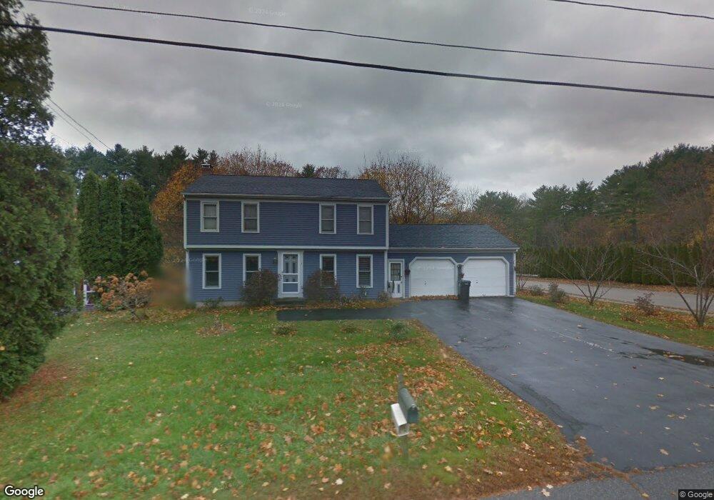
15 Dunstan Landing Rd Scarborough, ME 04074
Estimated Value: $585,861 - $627,000
4
Beds
3
Baths
1,666
Sq Ft
$364/Sq Ft
Est. Value
About This Home
This home is located at 15 Dunstan Landing Rd, Scarborough, ME 04074 and is currently estimated at $606,965, approximately $364 per square foot. 15 Dunstan Landing Rd is a home located in Cumberland County with nearby schools including Scarborough High School and Cornerstone Baptist Academy.
Ownership History
Date
Name
Owned For
Owner Type
Purchase Details
Closed on
Jun 19, 2019
Sold by
Ho Yong
Bought by
Ho Lon
Current Estimated Value
Home Financials for this Owner
Home Financials are based on the most recent Mortgage that was taken out on this home.
Original Mortgage
$216,000
Interest Rate
4.1%
Mortgage Type
New Conventional
Create a Home Valuation Report for This Property
The Home Valuation Report is an in-depth analysis detailing your home's value as well as a comparison with similar homes in the area
Home Values in the Area
Average Home Value in this Area
Purchase History
| Date | Buyer | Sale Price | Title Company |
|---|---|---|---|
| Ho Lon | -- | -- | |
| Ho Lon | -- | -- |
Source: Public Records
Mortgage History
| Date | Status | Borrower | Loan Amount |
|---|---|---|---|
| Closed | Ho Lon | $216,000 |
Source: Public Records
Tax History Compared to Growth
Tax History
| Year | Tax Paid | Tax Assessment Tax Assessment Total Assessment is a certain percentage of the fair market value that is determined by local assessors to be the total taxable value of land and additions on the property. | Land | Improvement |
|---|---|---|---|---|
| 2025 | $5,628 | $496,700 | $189,700 | $307,000 |
| 2024 | $5,429 | $496,700 | $189,700 | $307,000 |
| 2023 | $5,190 | $325,000 | $123,800 | $201,200 |
| 2022 | $5,002 | $325,000 | $123,800 | $201,200 |
| 2021 | $4,882 | $325,000 | $123,800 | $201,200 |
| 2020 | $4,830 | $325,000 | $123,800 | $201,200 |
| 2019 | $4,778 | $325,000 | $123,800 | $201,200 |
| 2017 | $4,418 | $267,900 | $113,700 | $154,200 |
| 2016 | $4,265 | $267,900 | $113,700 | $154,200 |
| 2015 | $4,150 | $267,900 | $113,700 | $154,200 |
| 2014 | $4,045 | $267,900 | $113,700 | $154,200 |
| 2013 | -- | $267,900 | $113,700 | $154,200 |
Source: Public Records
Map
Nearby Homes
- Lot 5 Jean's Way
- 626 Us Route 1
- 6 Rose Hill Way
- 25 Broadturn Rd
- 31 Old Blue Point Rd
- 19 Paulsen Dr
- 9 Paulsen Dr
- 72 Stewart Dr
- 166 Pine Point Rd
- 29 Mccann Way Unit 29
- 192 Stewart Dr
- 149 Stewart Dr
- 11 Hillside Ave
- 153 Stewart Dr
- 155 Stewart Dr
- 159 Stewart Dr
- 4 Sylvan Rd
- 81 Creeks Edge Dr
- 90 Broadturn Rd Unit 9
- 79 Creeks Edge Dr
- 17 Dunstan Landing Rd
- 13 Dunstan Landing Rd
- 11 Dunstan Landing Rd
- 19 Dunstan Landing Rd
- 22 Dunstan Landing Rd
- 2 Equestrian Way
- 4 Equestrian Way
- 5 Dunstan Landing Rd
- 10 Dunstan Landing Rd
- 25 Dunstan Landing Rd
- 2 Bridle Ct
- 49 Pine Point Rd
- 24 Dunstan Landing Rd
- 47 Pine Point Rd
- 7A Dunstan Landing Rd
- 26 Dunstan Landing Rd
- 4 Bridle Ct
- 51 Pine Point Rd
- 7 Dunstan Landing Rd
- 27 Dunstan Landing Rd