15 Dunster Rd Sudbury, MA 01776
Estimated Value: $806,000 - $1,238,000
4
Beds
4
Baths
1,678
Sq Ft
$615/Sq Ft
Est. Value
About This Home
This home is located at 15 Dunster Rd, Sudbury, MA 01776 and is currently estimated at $1,032,629, approximately $615 per square foot. 15 Dunster Rd is a home located in Middlesex County with nearby schools including Josiah Haynes Elementary School, Ephraim Curtis Middle School, and Lincoln-Sudbury Regional High School.
Ownership History
Date
Name
Owned For
Owner Type
Purchase Details
Closed on
Jul 28, 1997
Sold by
Chryssolouris George and Chryssolouris Katerina
Bought by
Mickey Charles E and Mickey Dale A
Current Estimated Value
Home Financials for this Owner
Home Financials are based on the most recent Mortgage that was taken out on this home.
Original Mortgage
$261,000
Interest Rate
7.7%
Mortgage Type
Purchase Money Mortgage
Purchase Details
Closed on
Jan 7, 1988
Sold by
Barrett James D
Bought by
Chryssolouris George
Home Financials for this Owner
Home Financials are based on the most recent Mortgage that was taken out on this home.
Original Mortgage
$208,000
Interest Rate
10.52%
Mortgage Type
Purchase Money Mortgage
Create a Home Valuation Report for This Property
The Home Valuation Report is an in-depth analysis detailing your home's value as well as a comparison with similar homes in the area
Home Values in the Area
Average Home Value in this Area
Purchase History
| Date | Buyer | Sale Price | Title Company |
|---|---|---|---|
| Mickey Charles E | $290,000 | -- | |
| Chryssolouris George | $250,000 | -- |
Source: Public Records
Mortgage History
| Date | Status | Borrower | Loan Amount |
|---|---|---|---|
| Open | Chryssolouris George | $75,000 | |
| Open | Chryssolouris George | $261,000 | |
| Closed | Chryssolouris George | $261,000 | |
| Previous Owner | Chryssolouris George | $208,000 |
Source: Public Records
Tax History Compared to Growth
Tax History
| Year | Tax Paid | Tax Assessment Tax Assessment Total Assessment is a certain percentage of the fair market value that is determined by local assessors to be the total taxable value of land and additions on the property. | Land | Improvement |
|---|---|---|---|---|
| 2025 | $13,078 | $893,300 | $441,400 | $451,900 |
| 2024 | $12,661 | $866,600 | $428,600 | $438,000 |
| 2023 | $12,528 | $794,400 | $397,000 | $397,400 |
| 2022 | $11,742 | $650,500 | $364,600 | $285,900 |
| 2021 | $11,490 | $610,200 | $364,600 | $245,600 |
| 2020 | $11,258 | $610,200 | $364,600 | $245,600 |
| 2019 | $10,929 | $610,200 | $364,600 | $245,600 |
| 2018 | $10,611 | $591,800 | $388,600 | $203,200 |
| 2017 | $9,940 | $560,300 | $369,800 | $190,500 |
| 2016 | $9,616 | $540,200 | $355,800 | $184,400 |
| 2015 | $9,277 | $527,100 | $342,200 | $184,900 |
| 2014 | $9,276 | $514,500 | $332,200 | $182,300 |
Source: Public Records
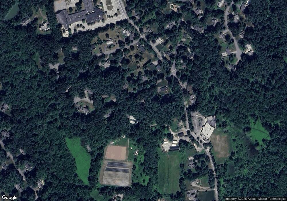
Map
Nearby Homes
- 42 Dakin Rd
- 16 Blacksmith Dr
- 14 Frost Ln
- 63 Canterbury Dr
- 57 Longfellow Rd
- 67 Powder Mill Rd
- 55 Widow Rites Ln
- 45 Widow Rites Ln
- 5 Taintor Dr
- 401 Emery Ln Unit 104
- 589 North Rd
- 24 Rookery Ln Unit 6
- 56 Rookery Ln Unit 4
- 40 Rookery Ln Unit 5
- 72 Rookery Ln Unit 3
- 369 Border Rd
- 941 Concord Rd
- 10 Oak Ridge Dr Unit 5
- 5 Oak Ridge Dr Unit 7
- Lot 5 Sailaway Ln