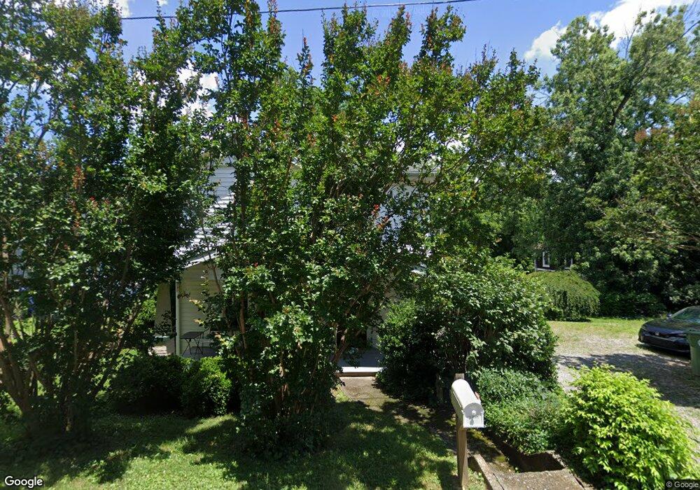
15 Dysart St Asheville, NC 28806
West Asheville NeighborhoodEstimated Value: $486,000 - $545,000
3
Beds
2
Baths
1,482
Sq Ft
$348/Sq Ft
Est. Value
About This Home
This home is located at 15 Dysart St, Asheville, NC 28806 and is currently estimated at $515,786, approximately $348 per square foot. 15 Dysart St is a home located in Buncombe County with nearby schools including Hall Fletcher Elementary, Isaac Dickson Elementary, and Ira B Jones Elementary.
Ownership History
Date
Name
Owned For
Owner Type
Purchase Details
Closed on
Dec 13, 2005
Sold by
Hendrix Myrna R and Hendrix Wilbur Lee
Bought by
Wood Robert J
Current Estimated Value
Home Financials for this Owner
Home Financials are based on the most recent Mortgage that was taken out on this home.
Original Mortgage
$128,000
Outstanding Balance
$71,361
Interest Rate
6.23%
Mortgage Type
Fannie Mae Freddie Mac
Estimated Equity
$444,425
Create a Home Valuation Report for This Property
The Home Valuation Report is an in-depth analysis detailing your home's value as well as a comparison with similar homes in the area
Home Values in the Area
Average Home Value in this Area
Purchase History
| Date | Buyer | Sale Price | Title Company |
|---|---|---|---|
| Wood Robert J | $128,000 | -- |
Source: Public Records
Mortgage History
| Date | Status | Borrower | Loan Amount |
|---|---|---|---|
| Open | Wood Robert J | $128,000 |
Source: Public Records
Tax History Compared to Growth
Tax History
| Year | Tax Paid | Tax Assessment Tax Assessment Total Assessment is a certain percentage of the fair market value that is determined by local assessors to be the total taxable value of land and additions on the property. | Land | Improvement |
|---|---|---|---|---|
| 2025 | $3,300 | $319,400 | $101,500 | $217,900 |
| 2024 | $3,300 | $319,400 | $101,500 | $217,900 |
| 2023 | $3,300 | $319,400 | $101,500 | $217,900 |
| 2022 | $3,185 | $319,400 | $0 | $0 |
| 2021 | $3,185 | $319,400 | $0 | $0 |
| 2020 | $2,870 | $266,300 | $0 | $0 |
| 2019 | $2,870 | $266,300 | $0 | $0 |
| 2018 | $2,870 | $266,300 | $0 | $0 |
| 2017 | $2,897 | $170,000 | $0 | $0 |
| 2016 | $2,089 | $170,000 | $0 | $0 |
| 2015 | $2,089 | $170,000 | $0 | $0 |
| 2014 | $2,064 | $170,000 | $0 | $0 |
Source: Public Records
Map
Nearby Homes
- 20 Cloyes St
- 31 Oakwood St
- 5 Orrinel Way
- 99999 Haywood Rd
- 55 Herron Ave
- 30 Sand Hill Rd
- 18 Sand Hill Rd
- 27 Mauricet Ln
- 32 Harnett St
- 0000 New Leicester Hwy
- 7 Mauricet Ln
- 141 Louisiana Ave
- 155 Sulphur Springs Rd
- 54 Louisiana Ave
- 197 Brucemont Cir
- 18 Jarrett St
- 74 Brucemont Cir
- 23 Laurel Loop
- 56 Brevard Rd
- 43 Vermont Ct Unit D14