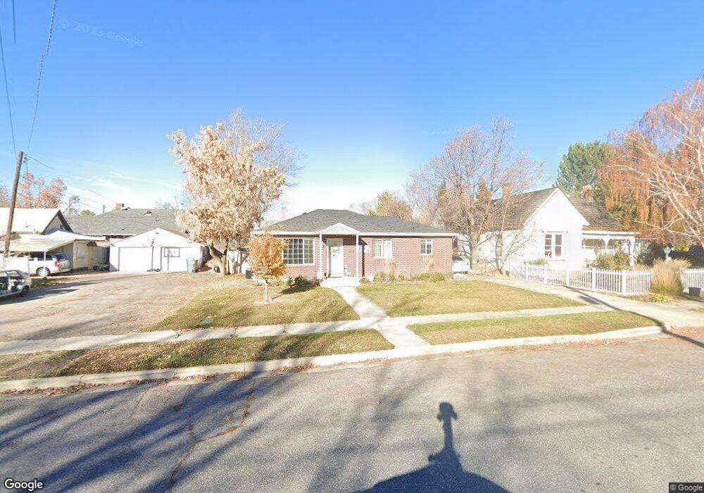
15 E 100 S American Fork, UT 84003
Estimated Value: $421,000 - $479,123
4
Beds
2
Baths
1,896
Sq Ft
$238/Sq Ft
Est. Value
About This Home
This home is located at 15 E 100 S, American Fork, UT 84003 and is currently estimated at $450,781, approximately $237 per square foot. 15 E 100 S is a home located in Utah County with nearby schools including Greenwood Elementary School, American Fork Junior High School, and American Fork High School.
Ownership History
Date
Name
Owned For
Owner Type
Purchase Details
Closed on
May 17, 2016
Sold by
Truman Marketing Llc
Bought by
Mercer Colton and Mercer Charly
Current Estimated Value
Home Financials for this Owner
Home Financials are based on the most recent Mortgage that was taken out on this home.
Original Mortgage
$210,123
Interest Rate
4.4%
Mortgage Type
FHA
Purchase Details
Closed on
Oct 23, 2015
Sold by
Smith Ryan L and Smith Michelle W
Bought by
Smith Ryan L and Smith Michelle W
Home Financials for this Owner
Home Financials are based on the most recent Mortgage that was taken out on this home.
Original Mortgage
$160,863
Interest Rate
3.81%
Mortgage Type
Purchase Money Mortgage
Create a Home Valuation Report for This Property
The Home Valuation Report is an in-depth analysis detailing your home's value as well as a comparison with similar homes in the area
Home Values in the Area
Average Home Value in this Area
Purchase History
| Date | Buyer | Sale Price | Title Company |
|---|---|---|---|
| Mercer Colton | -- | Founders Title Co | |
| Mercer Colton | -- | Founders Title Co | |
| Smith Ryan L | -- | Pro Title And Escrow Inc | |
| Truman Marketing Llc | -- | Cottonwood Title Ins Ag |
Source: Public Records
Mortgage History
| Date | Status | Borrower | Loan Amount |
|---|---|---|---|
| Previous Owner | Mercer Colton | $210,123 | |
| Previous Owner | Mercer Colton | $7,490 | |
| Previous Owner | Truman Marketing Llc | $160,863 |
Source: Public Records
Tax History
| Year | Tax Paid | Tax Assessment Tax Assessment Total Assessment is a certain percentage of the fair market value that is determined by local assessors to be the total taxable value of land and additions on the property. | Land | Improvement |
|---|---|---|---|---|
| 2025 | $1,934 | $233,475 | -- | -- |
| 2024 | $1,934 | $214,885 | $0 | $0 |
| 2023 | $1,819 | $214,225 | $0 | $0 |
| 2022 | $1,838 | $213,620 | $0 | $0 |
| 2021 | $1,571 | $285,300 | $129,100 | $156,200 |
| 2020 | $1,468 | $258,600 | $115,300 | $143,300 |
| 2019 | $1,329 | $242,100 | $98,800 | $143,300 |
| 2018 | $1,226 | $213,500 | $88,900 | $124,600 |
| 2017 | $1,155 | $108,570 | $0 | $0 |
| 2016 | $1,040 | $90,860 | $0 | $0 |
| 2015 | $1,058 | $87,725 | $0 | $0 |
| 2014 | $1,002 | $81,950 | $0 | $0 |
Source: Public Records
Map
Nearby Homes
- 171 S Center St
- 6 S 100 W
- 258 E Duck Wood Cove Unit 160
- 105 N 100 W
- 148 N 100 E
- 65 E 400 S Unit 8
- 273 S 300 E
- 341 S 190 W
- 336 S 300 E
- 51 N 370 E
- 53 N 370 E
- 428 S 300 E
- 80 N 400 E Unit G-2
- 80 N 400 E Unit B-3
- 80 N 400 E Unit 4
- 447 S 300 E
- 429 S Storrs Ave
- 120 N 350 W Unit 127
- 120 N 350 W Unit 133
- 120 N 350 W Unit 130