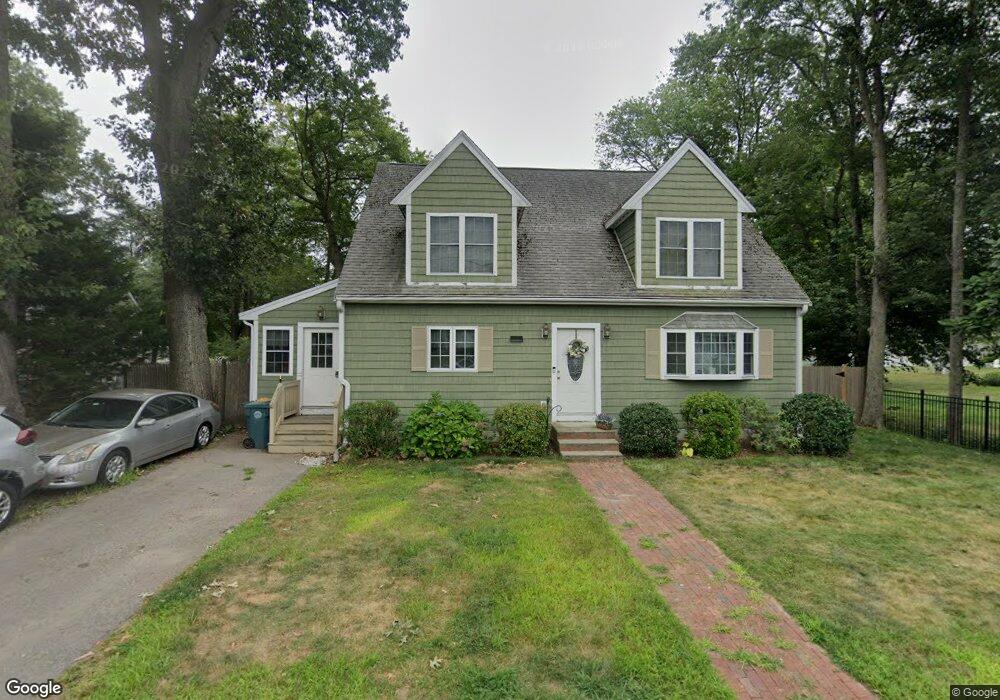
15 E Battery St Abington, MA 02351
Estimated Value: $709,000 - $755,000
4
Beds
2
Baths
2,414
Sq Ft
$301/Sq Ft
Est. Value
About This Home
This home is located at 15 E Battery St, Abington, MA 02351 and is currently estimated at $727,166, approximately $301 per square foot. 15 E Battery St is a home located in Plymouth County with nearby schools including Beaver Brook Elementary School, Abington Middle School, and Woodsdale School.
Ownership History
Date
Name
Owned For
Owner Type
Purchase Details
Closed on
Aug 1, 1983
Bought by
Desieno David and Desieno Sandra
Current Estimated Value
Create a Home Valuation Report for This Property
The Home Valuation Report is an in-depth analysis detailing your home's value as well as a comparison with similar homes in the area
Home Values in the Area
Average Home Value in this Area
Purchase History
| Date | Buyer | Sale Price | Title Company |
|---|---|---|---|
| Desieno David | $57,000 | -- |
Source: Public Records
Mortgage History
| Date | Status | Borrower | Loan Amount |
|---|---|---|---|
| Open | Desieno David | $165,000 | |
| Closed | Desieno David | $100,000 | |
| Closed | Desieno David | $10,000 | |
| Closed | Desieno David | $42,000 |
Source: Public Records
Tax History
| Year | Tax Paid | Tax Assessment Tax Assessment Total Assessment is a certain percentage of the fair market value that is determined by local assessors to be the total taxable value of land and additions on the property. | Land | Improvement |
|---|---|---|---|---|
| 2025 | $8,332 | $638,000 | $212,900 | $425,100 |
| 2024 | $8,535 | $637,900 | $193,600 | $444,300 |
| 2023 | $8,219 | $578,400 | $168,300 | $410,100 |
| 2022 | $8,278 | $543,900 | $147,300 | $396,600 |
| 2021 | $7,437 | $451,300 | $133,600 | $317,700 |
| 2020 | $7,840 | $461,200 | $140,300 | $320,900 |
| 2019 | $7,561 | $434,800 | $133,600 | $301,200 |
| 2018 | $7,513 | $421,600 | $133,600 | $288,000 |
| 2017 | $6,788 | $369,900 | $133,600 | $236,300 |
| 2016 | $6,277 | $350,100 | $127,200 | $222,900 |
| 2015 | $5,464 | $321,400 | $127,200 | $194,200 |
Source: Public Records
Map
Nearby Homes
- 120 Glen St
- 56 Townsend St Unit D26
- 338 Adams St
- 590 Adams St
- 1077 Bedford St
- 40 Fir Rd Unit 386
- 17 Birch St Unit 135
- 73 Monroe St
- 1353 Washington St
- 120 Temple St
- 9 Chestnut Cir
- 11 Chestnut Cir
- 46 Carey St
- 6 Chestnut Cir
- 0 Bedford St
- 3 Hickory Cir
- 11 Hawthorne St
- 1 Canterbury Ln
- 86 Leisurewoods Dr Unit 279
- 9 Juniper Cir
- 25 E Battery St
- 8 E Battery St
- 26 E Battery St
- 33 E Battery St
- 2 John r Keeley Cir
- 4 E Battery St
- 175 Spruce St
- 4 John r Keeley Cir
- 41 E Battery St
- 165 Spruce St
- 1 E Battery St
- 40 E Battery St
- 199 Spruce St
- 153 Spruce St
- 3 Fairview Ave
- 11 Fairview Ave
- 6 John r Keeley Cir
- 186 Spruce St
- 44 E Battery St
- 223 Spruce St
Your Personal Tour Guide
Ask me questions while you tour the home.