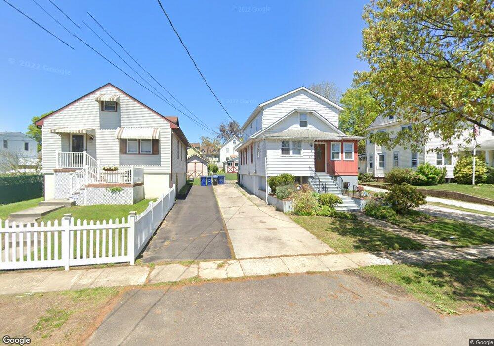
15 E Linwood Ave Maple Shade, NJ 08052
Estimated Value: $290,000 - $440,000
Studio
--
Bath
1,804
Sq Ft
$209/Sq Ft
Est. Value
About This Home
This home is located at 15 E Linwood Ave, Maple Shade, NJ 08052 and is currently estimated at $377,346, approximately $209 per square foot. 15 E Linwood Ave is a home located in Burlington County with nearby schools including Ralph J Steinhauer Elementary School, Maude M. Wilkins Elementary School, and Howard R Yocum School.
Ownership History
Date
Name
Owned For
Owner Type
Purchase Details
Closed on
Aug 2, 2024
Sold by
Howarth George D and Howarth Gail
Bought by
Metzger Sheena
Current Estimated Value
Home Financials for this Owner
Home Financials are based on the most recent Mortgage that was taken out on this home.
Original Mortgage
$255,000
Outstanding Balance
$252,109
Interest Rate
6.86%
Mortgage Type
New Conventional
Estimated Equity
$125,237
Purchase Details
Closed on
Apr 8, 2004
Sold by
Howarth Mary M
Bought by
Howarth George D
Create a Home Valuation Report for This Property
The Home Valuation Report is an in-depth analysis detailing your home's value as well as a comparison with similar homes in the area
Home Values in the Area
Average Home Value in this Area
Purchase History
| Date | Buyer | Sale Price | Title Company |
|---|---|---|---|
| Metzger Sheena | $340,000 | Surety Title | |
| Metzger Sheena | $340,000 | Surety Title | |
| Howarth George D | -- | -- |
Source: Public Records
Mortgage History
| Date | Status | Borrower | Loan Amount |
|---|---|---|---|
| Open | Metzger Sheena | $255,000 | |
| Closed | Metzger Sheena | $255,000 |
Source: Public Records
Tax History
| Year | Tax Paid | Tax Assessment Tax Assessment Total Assessment is a certain percentage of the fair market value that is determined by local assessors to be the total taxable value of land and additions on the property. | Land | Improvement |
|---|---|---|---|---|
| 2025 | $7,505 | $197,700 | $45,800 | $151,900 |
| 2024 | $7,287 | $197,700 | $45,800 | $151,900 |
| 2023 | $7,287 | $197,700 | $45,800 | $151,900 |
| 2022 | $7,175 | $197,700 | $45,800 | $151,900 |
| 2021 | $7,105 | $197,700 | $45,800 | $151,900 |
| 2020 | $7,125 | $197,700 | $45,800 | $151,900 |
| 2019 | $6,864 | $197,700 | $45,800 | $151,900 |
| 2018 | $6,746 | $197,700 | $45,800 | $151,900 |
| 2017 | $6,666 | $197,700 | $45,800 | $151,900 |
| 2016 | $6,568 | $197,700 | $45,800 | $151,900 |
| 2015 | $6,425 | $197,700 | $45,800 | $151,900 |
| 2014 | $6,230 | $197,700 | $45,800 | $151,900 |
Source: Public Records
Map
Nearby Homes
- 400 N Forklanding Rd
- 207 E Park Ave
- 47 S Lippincott Ave
- 57 S Terrace Ave
- 42 Spruce Ave
- 61 S Maple Ave
- 411 A3 Stiles Ave Unit A-3
- 411 C12 Stiles Ave Unit C-12
- 411 A2 Stiles Ave Unit A-2
- 712 E Woodlawn Ave
- 35 Farnsworth Ave
- 206 S Maple Ave
- 331 Collins Ln
- 27 Indian Queen Ln
- 304 S Forklanding Rd
- 115 S Walnut Ave
- 9 Woodbine Ave
- 15 S Pine Ave
- 44 S Pine Ave
- 26 Morris Ave
- 11 E Linwood Ave
- 19 E Linwood Ave
- 203 N Forklanding Rd
- 207 N Forklanding Rd
- 24 E Park Ave
- 20 Mecray Ln
- 211 N Forklanding Rd
- 28 E Park Ave
- 123 N Forklanding Rd
- 16 Mecray Ln
- 27 E Linwood Ave
- 32 E Park Ave
- 119 N Forklanding Rd
- 16 E Linwood Ave
- 213 N Forklanding Rd
- 18 E Linwood Ave
- 117 N Forklanding Rd
- 12 Mecray Ln
- 22 E Linwood Ave
- 40 E Park Ave
Your Personal Tour Guide
Ask me questions while you tour the home.