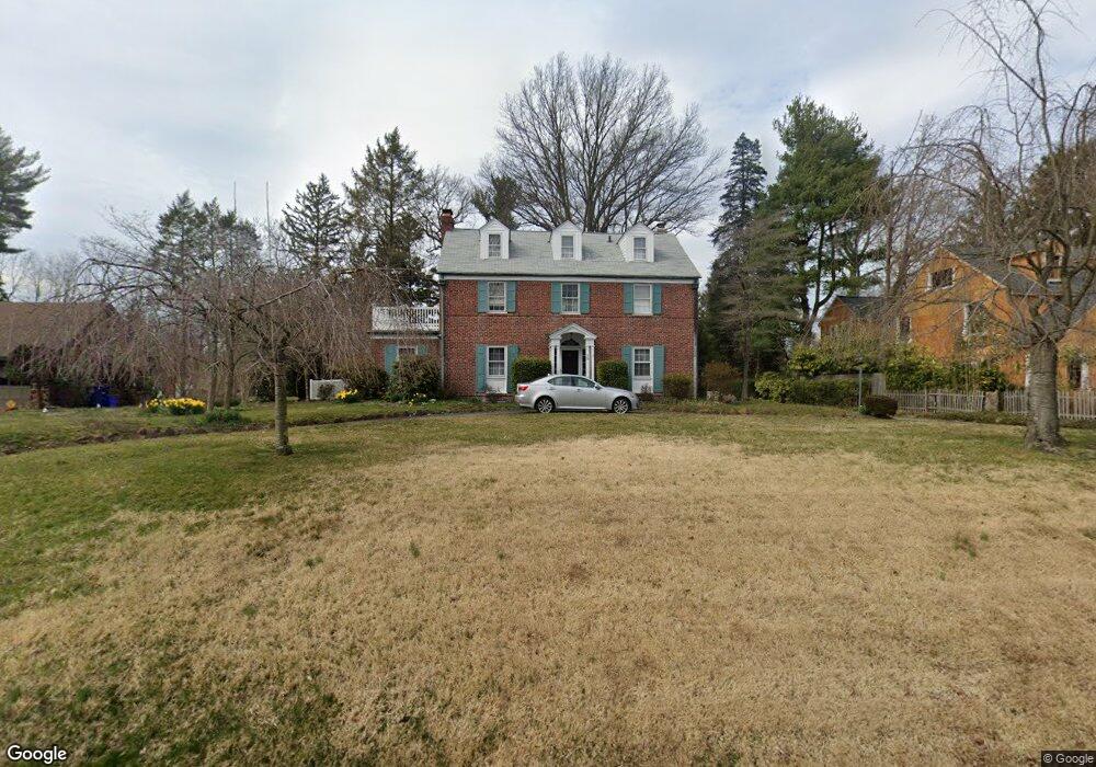
15 E Maple Ave Moorestown, NJ 08057
Estimated Value: $1,151,000 - $1,250,000
Studio
--
Bath
3,374
Sq Ft
$352/Sq Ft
Est. Value
About This Home
This home is located at 15 E Maple Ave, Moorestown, NJ 08057 and is currently estimated at $1,189,106, approximately $352 per square foot. 15 E Maple Ave is a home located in Burlington County with nearby schools including George C. Baker Elementary School, Moorestown Upper Elementary School, and William Allen Middle School.
Ownership History
Date
Name
Owned For
Owner Type
Purchase Details
Closed on
Jul 16, 1998
Sold by
Flick Deborah Adams and Flick Theodore S
Bought by
Yankell Morris and Kohl Kristina
Current Estimated Value
Create a Home Valuation Report for This Property
The Home Valuation Report is an in-depth analysis detailing your home's value as well as a comparison with similar homes in the area
Home Values in the Area
Average Home Value in this Area
Purchase History
| Date | Buyer | Sale Price | Title Company |
|---|---|---|---|
| Yankell Morris | $300,000 | Chicago Title Insurance Co |
Source: Public Records
Tax History
| Year | Tax Paid | Tax Assessment Tax Assessment Total Assessment is a certain percentage of the fair market value that is determined by local assessors to be the total taxable value of land and additions on the property. | Land | Improvement |
|---|---|---|---|---|
| 2025 | $17,677 | $623,100 | $232,600 | $390,500 |
| 2024 | $16,616 | $623,100 | $232,600 | $390,500 |
| 2023 | $16,229 | $623,100 | $232,600 | $390,500 |
| 2022 | $16,229 | $604,000 | $0 | $0 |
| 2021 | $16,229 | $604,000 | $0 | $0 |
| 2020 | $16,127 | $604,000 | $0 | $0 |
| 2019 | $15,353 | $623,100 | $232,600 | $390,500 |
| 2018 | $15,633 | $623,100 | $232,600 | $390,500 |
| 2017 | $15,660 | $608,400 | $232,600 | $375,800 |
| 2016 | $15,605 | $608,400 | $232,600 | $375,800 |
| 2015 | $15,417 | $608,400 | $232,600 | $375,800 |
| 2014 | $14,638 | $608,400 | $232,600 | $375,800 |
Source: Public Records
Map
Nearby Homes
- 700 Lippincott Ave
- 66 E 3rd St
- 228 Mill St
- 80 E 3rd St
- 205 E Central Ave
- 133 Plum St Unit 6
- 543 Bethel Ave
- 127 Schooley St
- 308 Elm St
- 129 S Church St
- 316 Farmdale Rd
- 15 W Close Unit 15
- 863 Golf View Rd
- 307 Fairview Ave
- 22 E Close Unit 22
- 104 Mount Laurel Rd
- 611 New Albany Rd
- 401 W 3rd St
- 408 N Stanwick Rd
- 8 S Close Unit 8
- 17 E Maple Ave
- 13 E Maple Ave
- 19 E Maple Ave
- 10 E Spruce Ave
- 14 E Spruce Ave
- 6 E Spruce Ave
- 18 E Spruce Ave
- 20 E Maple Ave
- 24 E Maple Ave
- 3 E Maple Ave
- 16 E Maple Ave
- 1 E Maple Ave
- 550 Lippincott Ave
- 10 E Maple Ave
- 2 E Spruce Ave
- 45 E Maple Ave
- 9 E Spruce Ave
- 17 E Spruce Ave
- 2 E Maple Ave
- 601 Lippincott Ave
Your Personal Tour Guide
Ask me questions while you tour the home.