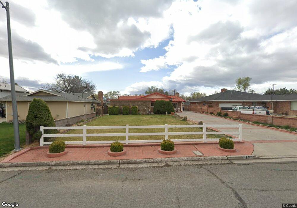
15 E Quail St Sparks, NV 89431
McCarran Boulevard-Probasco NeighborhoodEstimated Value: $485,000 - $496,845
4
Beds
3
Baths
2,120
Sq Ft
$231/Sq Ft
Est. Value
About This Home
This home is located at 15 E Quail St, Sparks, NV 89431 and is currently estimated at $490,711, approximately $231 per square foot. 15 E Quail St is a home located in Washoe County with nearby schools including Greenbrae Elementary School, George L Dilworth Middle School, and Sparks High School.
Ownership History
Date
Name
Owned For
Owner Type
Purchase Details
Closed on
Apr 11, 2005
Sold by
Scibilia Frank and Scibilia Georgina H
Bought by
Vasquez Jorge A and Vasquez Adriana G
Current Estimated Value
Home Financials for this Owner
Home Financials are based on the most recent Mortgage that was taken out on this home.
Original Mortgage
$288,000
Outstanding Balance
$129,521
Interest Rate
4.12%
Mortgage Type
Negative Amortization
Estimated Equity
$361,190
Create a Home Valuation Report for This Property
The Home Valuation Report is an in-depth analysis detailing your home's value as well as a comparison with similar homes in the area
Home Values in the Area
Average Home Value in this Area
Purchase History
| Date | Buyer | Sale Price | Title Company |
|---|---|---|---|
| Vasquez Jorge A | $365,000 | Western Title Incorporated |
Source: Public Records
Mortgage History
| Date | Status | Borrower | Loan Amount |
|---|---|---|---|
| Open | Vasquez Jorge A | $288,000 | |
| Closed | Vasquez Jorge A | $36,000 |
Source: Public Records
Tax History
| Year | Tax Paid | Tax Assessment Tax Assessment Total Assessment is a certain percentage of the fair market value that is determined by local assessors to be the total taxable value of land and additions on the property. | Land | Improvement |
|---|---|---|---|---|
| 2026 | $1,257 | $71,888 | $38,367 | $33,521 |
| 2024 | $1,636 | $69,298 | $36,493 | $32,806 |
| 2023 | $1,589 | $67,112 | $36,677 | $30,435 |
| 2022 | $1,544 | $54,679 | $29,878 | $24,801 |
| 2021 | $1,501 | $44,777 | $20,617 | $24,160 |
| 2020 | $1,454 | $43,757 | $18,743 | $25,014 |
| 2019 | $1,412 | $44,408 | $19,661 | $24,747 |
| 2018 | $1,370 | $39,094 | $14,222 | $24,872 |
| 2017 | $1,332 | $38,282 | $12,679 | $25,603 |
| 2016 | $1,298 | $38,883 | $12,128 | $26,755 |
| 2015 | $1,297 | $37,239 | $9,886 | $27,353 |
| 2014 | $1,260 | $35,475 | $8,379 | $27,096 |
| 2013 | -- | $33,544 | $6,284 | $27,260 |
Source: Public Records
Map
Nearby Homes
- 8 E O St
- 181 Quail St
- 14 E Greenbrae Dr
- 115 P St
- 28 Arndell Way
- 91 E York Way
- 343 Richards Way
- 1940 4th St Unit 20
- 1940 4th St Unit 51
- 1940 4th St Unit 46
- 314 M St
- 31 E L St
- 136 York Way Unit 1
- 1945 4th St Unit 22
- 1945 4th St Unit 51
- 355 York Way
- 11 E J St
- 370 O'Brien Way
- 480 E Mclean Way
- 2455 Coppa Way
Your Personal Tour Guide
Ask me questions while you tour the home.