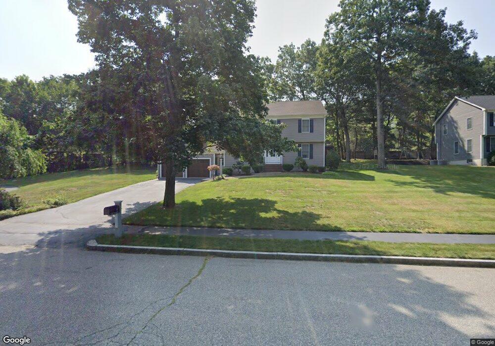
15 Earles Row Wilmington, MA 01887
North Wilmington NeighborhoodEstimated Value: $847,000 - $1,148,000
4
Beds
3
Baths
2,833
Sq Ft
$366/Sq Ft
Est. Value
About This Home
This home is located at 15 Earles Row, Wilmington, MA 01887 and is currently estimated at $1,037,749, approximately $366 per square foot. 15 Earles Row is a home located in Middlesex County with nearby schools including Wilmington Middle School, Wilmington High School, and Abundant Life Christian School and Childcare.
Ownership History
Date
Name
Owned For
Owner Type
Purchase Details
Closed on
Mar 3, 2025
Sold by
Longo Gregory E and Longo Christina M
Bought by
Longo Ft and Longo
Current Estimated Value
Purchase Details
Closed on
Apr 7, 2016
Sold by
Longo Edward L and Longo Anita R
Bought by
Longo Gregory E
Home Financials for this Owner
Home Financials are based on the most recent Mortgage that was taken out on this home.
Original Mortgage
$460,000
Interest Rate
3.62%
Mortgage Type
New Conventional
Purchase Details
Closed on
Sep 2, 1992
Sold by
Paul K Butt Bldrs
Bought by
Longo Edward L
Create a Home Valuation Report for This Property
The Home Valuation Report is an in-depth analysis detailing your home's value as well as a comparison with similar homes in the area
Home Values in the Area
Average Home Value in this Area
Purchase History
| Date | Buyer | Sale Price | Title Company |
|---|---|---|---|
| Longo Ft | -- | None Available | |
| Longo Ft | -- | None Available | |
| Longo Gregory E | $600,000 | -- | |
| Longo Gregory E | $600,000 | -- | |
| Longo Edward L | $256,000 | -- | |
| Longo Edward L | $256,000 | -- |
Source: Public Records
Mortgage History
| Date | Status | Borrower | Loan Amount |
|---|---|---|---|
| Previous Owner | Longo Gregory E | $460,000 | |
| Previous Owner | Longo Edward L | $25,000 | |
| Previous Owner | Longo Edward L | $8,000 | |
| Previous Owner | Longo Edward L | $85,000 |
Source: Public Records
Tax History Compared to Growth
Tax History
| Year | Tax Paid | Tax Assessment Tax Assessment Total Assessment is a certain percentage of the fair market value that is determined by local assessors to be the total taxable value of land and additions on the property. | Land | Improvement |
|---|---|---|---|---|
| 2025 | $10,745 | $938,400 | $333,700 | $604,700 |
| 2024 | $10,517 | $920,100 | $333,700 | $586,400 |
| 2023 | $9,571 | $801,600 | $283,200 | $518,400 |
| 2022 | $9,045 | $694,200 | $235,900 | $458,300 |
| 2021 | $9,170 | $662,600 | $214,400 | $448,200 |
| 2020 | $8,963 | $660,000 | $214,400 | $445,600 |
| 2019 | $7,759 | $564,300 | $209,600 | $354,700 |
| 2018 | $7,656 | $531,300 | $199,700 | $331,600 |
| 2017 | $7,572 | $524,000 | $199,700 | $324,300 |
| 2016 | $7,116 | $486,400 | $190,300 | $296,100 |
| 2015 | $6,847 | $476,500 | $190,300 | $286,200 |
| 2014 | $6,377 | $447,800 | $181,300 | $266,500 |
Source: Public Records
Map
Nearby Homes
- 12 Lockwood Rd
- 3 Oakdale Rd
- 3 Adelman Rd
- 8 McDonald Rd
- 1 Summer St
- 220 Martins Landing Unit 309
- 260 Martins Landing Unit 508
- 260 Martins Landing Unit 103
- 300 Martins Landing Unit 107
- 62 Faulkner Ave
- 5 Flynn Way
- 5 Oak St
- 320 Martins Landing Unit 108
- 320 Martins Landing Unit 109
- 320 Martins Landing Unit 110
- 320 Martins Landing Unit 303
- 320 Martins Landing Unit 102
- 320 Martins Landing Unit 103
- 320 Martins Landing Unit 2410
- 320 Martins Landing Unit 403