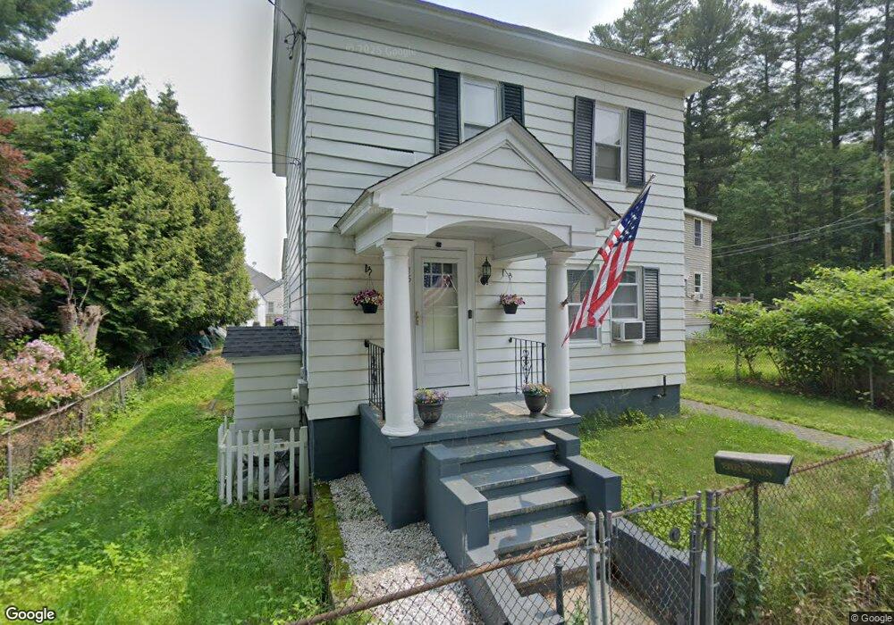
15 Eastland Rd Dracut, MA 01826
Estimated Value: $461,000 - $491,000
3
Beds
2
Baths
1,342
Sq Ft
$356/Sq Ft
Est. Value
About This Home
This home is located at 15 Eastland Rd, Dracut, MA 01826 and is currently estimated at $478,316, approximately $356 per square foot. 15 Eastland Rd is a home located in Middlesex County with nearby schools including Brookside Elementary School, Richardson Middle School, and Dracut Senior High School.
Ownership History
Date
Name
Owned For
Owner Type
Purchase Details
Closed on
Apr 13, 1994
Sold by
Prescott Amy H
Bought by
Bernier Richard A and Bernier Dorothea
Current Estimated Value
Create a Home Valuation Report for This Property
The Home Valuation Report is an in-depth analysis detailing your home's value as well as a comparison with similar homes in the area
Home Values in the Area
Average Home Value in this Area
Purchase History
| Date | Buyer | Sale Price | Title Company |
|---|---|---|---|
| Bernier Richard A | $89,000 | -- |
Source: Public Records
Mortgage History
| Date | Status | Borrower | Loan Amount |
|---|---|---|---|
| Open | Bernier Richard A | $170,000 | |
| Closed | Bernier Richard A | $149,000 | |
| Closed | Bernier Richard A | $29,500 | |
| Closed | Bernier Richard A | $98,500 |
Source: Public Records
Tax History Compared to Growth
Tax History
| Year | Tax Paid | Tax Assessment Tax Assessment Total Assessment is a certain percentage of the fair market value that is determined by local assessors to be the total taxable value of land and additions on the property. | Land | Improvement |
|---|---|---|---|---|
| 2025 | $3,710 | $366,600 | $161,900 | $204,700 |
| 2024 | $3,699 | $354,000 | $154,200 | $199,800 |
| 2023 | $3,540 | $305,700 | $134,100 | $171,600 |
| 2022 | $3,522 | $286,600 | $121,900 | $164,700 |
| 2021 | $3,397 | $261,100 | $110,800 | $150,300 |
| 2020 | $3,404 | $255,000 | $107,600 | $147,400 |
| 2019 | $215 | $227,500 | $102,500 | $125,000 |
| 2018 | $3,964 | $217,900 | $102,500 | $115,400 |
| 2017 | $2,923 | $217,900 | $102,500 | $115,400 |
| 2016 | $2,833 | $190,900 | $98,500 | $92,400 |
| 2015 | $2,722 | $182,300 | $98,500 | $83,800 |
| 2014 | $2,559 | $176,600 | $98,500 | $78,100 |
Source: Public Records
Map
Nearby Homes
- 135 Stewart St Unit 1
- 30 Walnut St
- 20 Birchmont St
- 54 Mascuppic Trail
- 12 Trotting Park Rd
- 14 Trotting Park Rd
- 55 Glendale Ave
- 57 Parham Rd
- 91 Hillcrest Rd
- 98 Varnum Rd
- 46 Long Pond Rd
- 51 C St
- 25 Settlers Way
- 1222 Mammoth Rd
- 17 Summer St
- 18 Settlers Way
- 79 B St
- 13 Dallas Dr Unit 101
- 13 Dallas Dr Unit 308
- 97 Passaconaway Dr
- 9 Eastland Rd
- 43 County Rd
- 48 Willowdale Ave
- 54 Willowdale Ave
- 50 Willowdale Ave
- 10 Eastland Rd
- 29 County Rd
- 56 Willowdale Ave
- L165-101 Meadow Creek
- LOT 22 Autumn Rd
- LOT 29 Clough Dr
- LOT 73 Summer Hill Rd
- LOT3 Harley Dr
- LOT 5 Macintosh Dr
- LOT 39 Autumn Rd
- OLOT A Jones Ave
- 58 Willowdale Ave
- 55 County Rd
- 25 Prides Crossing Rd
- 36 Willowdale Ave