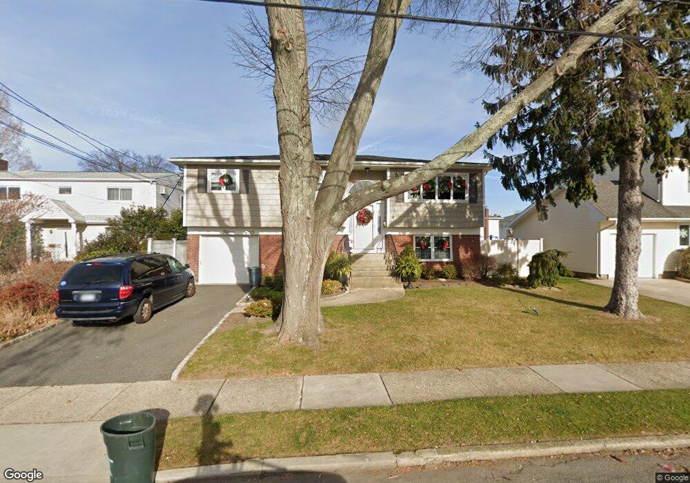
15 Edward St Bethpage, NY 11714
Estimated Value: $801,096 - $839,000
Studio
3
Baths
1,414
Sq Ft
$580/Sq Ft
Est. Value
About This Home
This home is located at 15 Edward St, Bethpage, NY 11714 and is currently estimated at $820,048, approximately $579 per square foot. 15 Edward St is a home located in Nassau County with nearby schools including Michael F. Stokes Elementary School, J Fred Sparke Elementary School, and Island Trees Middle School.
Ownership History
Date
Name
Owned For
Owner Type
Purchase Details
Closed on
Mar 22, 2024
Sold by
Deinhardt Regina
Bought by
Tuseo Regina and The Regina Deinhardt Trust
Current Estimated Value
Purchase Details
Closed on
Oct 7, 2022
Sold by
Tusbo Regina and The Regina Deinhardt Trust
Bought by
Deinhardt Regina
Purchase Details
Closed on
Sep 8, 2021
Sold by
Deinhardt Regina and Deinhardt Michael
Bought by
Deinhardt Trust
Purchase Details
Closed on
Oct 30, 1998
Sold by
Finora Robert
Bought by
Dienhardt Michael and Dienhardt Regina
Create a Home Valuation Report for This Property
The Home Valuation Report is an in-depth analysis detailing your home's value as well as a comparison with similar homes in the area
Home Values in the Area
Average Home Value in this Area
Purchase History
| Date | Buyer | Sale Price | Title Company |
|---|---|---|---|
| Tuseo Regina | -- | None Available | |
| Tuseo Regina | -- | None Available | |
| Deinhardt Regina | -- | None Available | |
| Deinhardt Regina | -- | None Available | |
| Deinhardt Regina | -- | None Available | |
| Deinhardt Trust | -- | None Available | |
| Deinhardt Trust | -- | None Available | |
| Deinhardt Trust | -- | None Available | |
| Dienhardt Michael | $225,000 | -- | |
| Dienhardt Michael | $225,000 | -- |
Source: Public Records
Tax History
| Year | Tax Paid | Tax Assessment Tax Assessment Total Assessment is a certain percentage of the fair market value that is determined by local assessors to be the total taxable value of land and additions on the property. | Land | Improvement |
|---|---|---|---|---|
| 2025 | $11,233 | $577 | $256 | $321 |
| 2024 | $4,539 | $554 | $256 | $298 |
Source: Public Records
Map
Nearby Homes
- 120 Brenner Ave
- 15 N Butehorn St
- 15 Scherer St
- 5 Scherer St
- 472 Farmranch Rd E
- 106 Harrison Ave
- 94 Harrison Ave
- 43 Farmedge Rd
- 38 Bradford Ln
- 4030 Avoca Ave
- 3643 Courtney Ln
- 2 Jupiter Ln
- 3597 Martha Blvd
- 22 Mercury Ln
- 190 Meridian Rd
- 148 Meridian Rd
- 119 S 6th St
- 33 Prentice Rd
- 57 Roosevelt Dr
- 48 Bloomingdale Rd
Your Personal Tour Guide
Ask me questions while you tour the home.