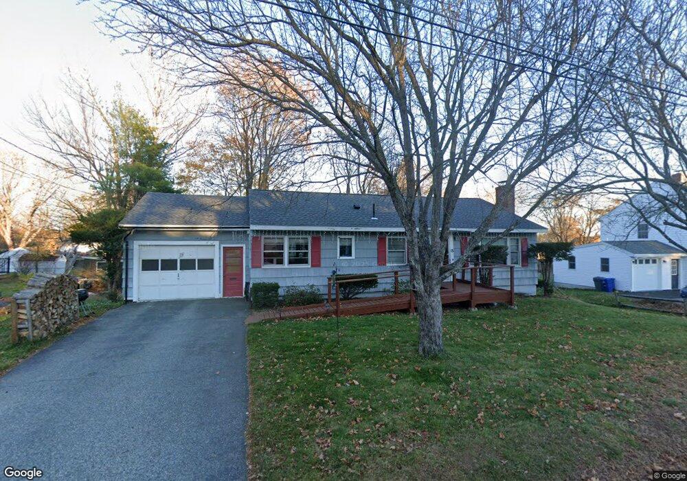
15 Elizabeth St Gorham, ME 04038
Estimated Value: $452,947 - $528,000
3
Beds
1
Bath
1,474
Sq Ft
$332/Sq Ft
Est. Value
About This Home
This home is located at 15 Elizabeth St, Gorham, ME 04038 and is currently estimated at $489,987, approximately $332 per square foot. 15 Elizabeth St is a home located in Cumberland County with nearby schools including Narragansett Elementary School, Gorham Middle School, and Gorham High School.
Ownership History
Date
Name
Owned For
Owner Type
Purchase Details
Closed on
Aug 8, 2014
Sold by
Mackenzie Eleanor D and Bowers Carolyn A
Bought by
Oliver Nicholas D
Current Estimated Value
Home Financials for this Owner
Home Financials are based on the most recent Mortgage that was taken out on this home.
Original Mortgage
$194,897
Outstanding Balance
$146,595
Interest Rate
4.14%
Mortgage Type
New Conventional
Estimated Equity
$343,392
Create a Home Valuation Report for This Property
The Home Valuation Report is an in-depth analysis detailing your home's value as well as a comparison with similar homes in the area
Home Values in the Area
Average Home Value in this Area
Purchase History
| Date | Buyer | Sale Price | Title Company |
|---|---|---|---|
| Oliver Nicholas D | -- | -- |
Source: Public Records
Mortgage History
| Date | Status | Borrower | Loan Amount |
|---|---|---|---|
| Open | Oliver Nicholas D | $194,897 |
Source: Public Records
Tax History
| Year | Tax Paid | Tax Assessment Tax Assessment Total Assessment is a certain percentage of the fair market value that is determined by local assessors to be the total taxable value of land and additions on the property. | Land | Improvement |
|---|---|---|---|---|
| 2025 | $4,820 | $325,700 | $117,800 | $207,900 |
| 2024 | $4,788 | $325,700 | $117,800 | $207,900 |
| 2023 | $4,126 | $300,100 | $117,800 | $182,300 |
| 2022 | $3,856 | $300,100 | $117,800 | $182,300 |
| 2021 | $3,312 | $170,700 | $85,900 | $84,800 |
| 2020 | $3,243 | $170,700 | $85,900 | $84,800 |
| 2019 | $3,235 | $170,700 | $85,900 | $84,800 |
| 2018 | $3,107 | $170,700 | $85,900 | $84,800 |
| 2017 | $2,919 | $170,700 | $85,900 | $84,800 |
| 2016 | $2,904 | $170,800 | $86,000 | $84,800 |
| 2015 | $2,784 | $170,800 | $86,000 | $84,800 |
| 2014 | $2,526 | $145,200 | $64,400 | $80,800 |
| 2013 | $2,512 | $145,200 | $64,400 | $80,800 |
Source: Public Records
Map
Nearby Homes
- 50 Johnson Rd
- TBD Lochwood Dr
- 49 Lochwood Dr
- 17 Lochwood Dr
- 13 Lochwood Dr
- 12 Strouts Way
- 25 Patio Park Ln
- 195 Falcon Crest Dr Unit 34
- 193 Falcon Crest Dr Unit 33
- 194 Falcon Crest Dr Unit 60
- 191 Falcon Crest Dr Unit 32
- 189 Falcon Crest Dr Unit 31
- 192 Falcon Crest Dr Unit 59
- 127 Falcon Crest Dr Unit 4
- 187 Falcon Crest Dr Unit 30
- 188 Falcon Crest Dr Unit 58
- 185 Falcon Crest Dr Unit 29
- 182 Falcon Crest Dr Unit 56
- 14 Patio Park Ln
- 91 South St
Your Personal Tour Guide
Ask me questions while you tour the home.